drawing, print, pencil
#
drawing
# print
#
landscape
#
coloured pencil
#
pencil
#
cityscape
Dimensions: height 182 mm, width 227 mm
Copyright: Rijks Museum: Open Domain
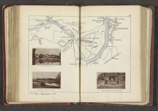
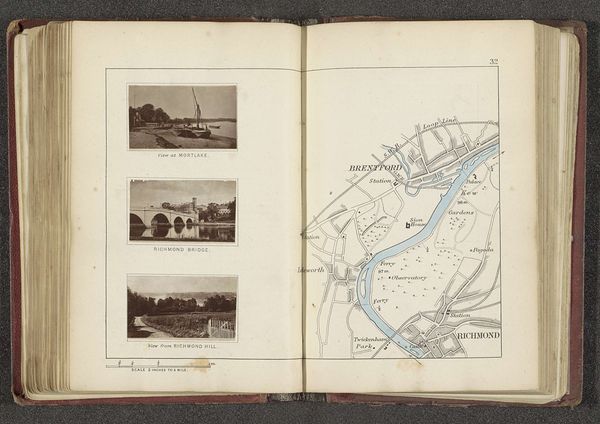
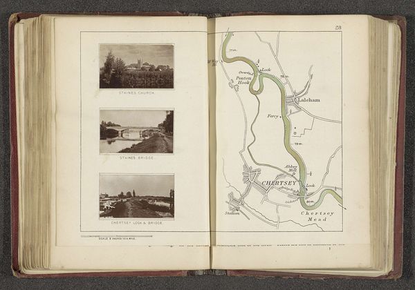
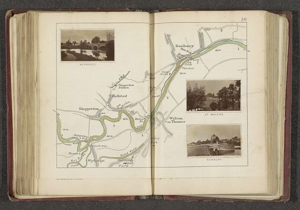
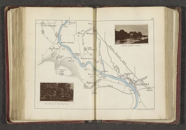
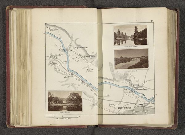
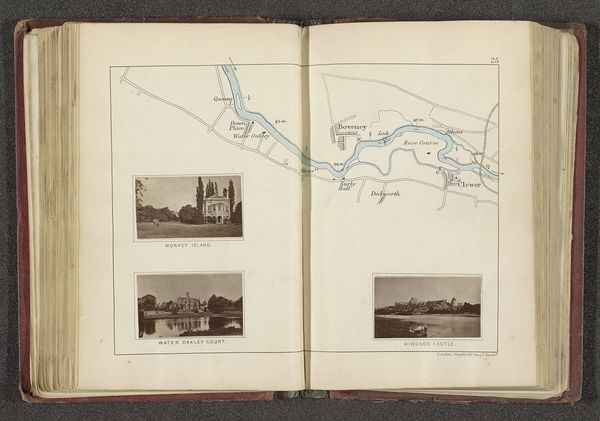
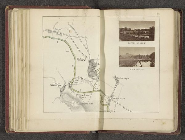
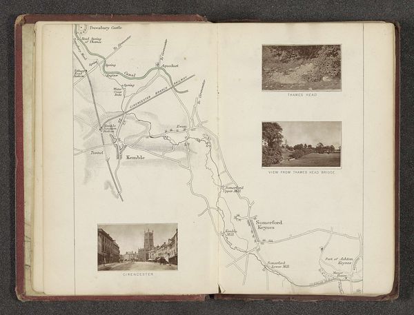
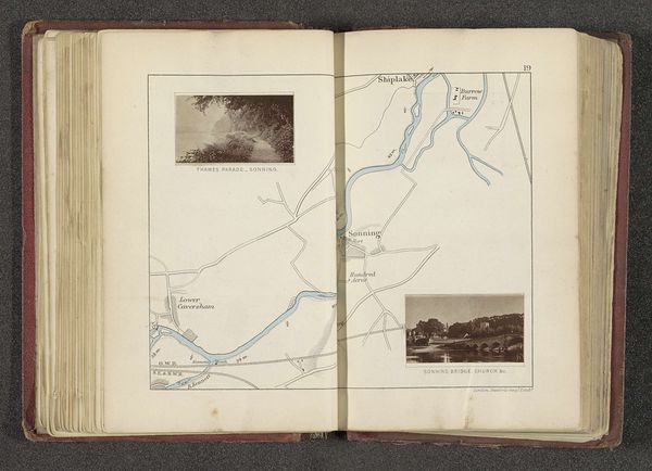
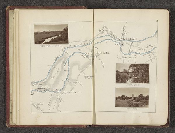
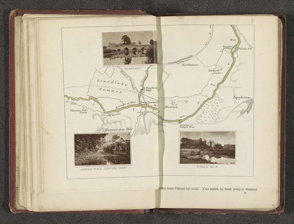
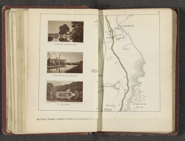
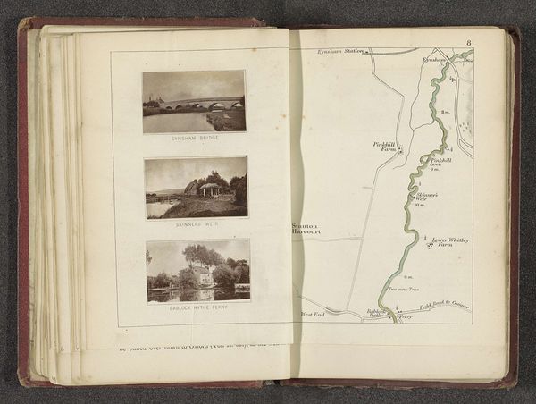
Henry Taunt made this map of two locations along the Thames River using ink on paper. As a photographer, publisher, and boater, Taunt brought together his skills to create a pictorial guide of the river. The linear quality of the map is achieved through the precision of ink drawing, contrasting with the soft, photogravure reproductions of Bisham Abbey and Marlow. These images, carefully laid into the broader map, give us a sense of the area's key landmarks. Look at the scale: it encourages leisurely exploration, suggesting a gentle engagement with the landscape. Maps such as these were essential tools for navigating the natural world, but they also reflect broader issues of labor and consumption. Note the sharp contrast between the time and skill involved in the creation of the images, and the time involved in producing them. By considering the materials, techniques, and social context, we gain a deeper understanding of its cultural significance.
Comments
No comments
Be the first to comment and join the conversation on the ultimate creative platform.
More like this