drawing, print, paper, photography, pencil
#
drawing
# print
#
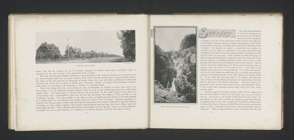
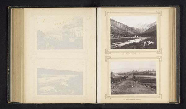
landscape
#
paper
#
photography
#
coloured pencil
#
pencil
#
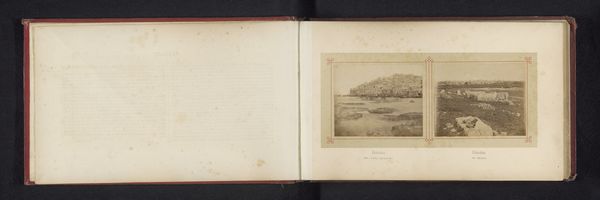
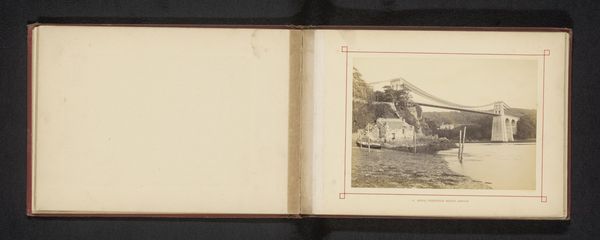
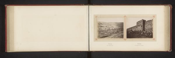
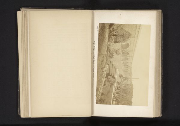
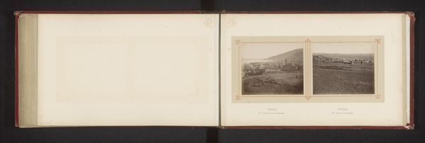
cityscape
Dimensions: height 163 mm, width 236 mm
Copyright: Rijks Museum: Open Domain
Editor: Here we have "Map with three images of places along the Thames" from before 1879 by Henry W. Taunt, it looks like a print with added photography. It feels a bit like a scrapbook page. I am struck by the combination of detailed cartography and quaint photographic images. How do you interpret the merging of these two styles? Curator: Oh, this speaks volumes about the era, doesn’t it? Imagine pre-GPS travel. This isn’t just a map; it's a visual companion, almost like Taunt is whispering, "Here are the scenes you’ll encounter." The photography, rather than being purely documentary, offers a romanticized, almost painterly view of the landscape. Editor: A romanticized view, yes! So it's not just about accurate representation? Curator: Exactly! Consider the context. Taunt was active in a time when photography was still finding its footing as both art and document. This work blurs the lines. Look how the sepia tones evoke a sense of nostalgia, even then. He’s not simply showing you the route; he's inviting you to experience the *feeling* of being there. Almost like he's saying: this is where the Thames breathes. Does it make you think about modern travel guides? Editor: I guess modern guides would have cleaner, simpler visuals. It's interesting how personal this feels by comparison. Curator: Precisely. It’s a slice of personal journeying, laid out for us to share. What do you take away from experiencing his journey? Editor: I appreciate the artistry alongside the utility. It elevates it beyond just a record. Thanks! Curator: Absolutely! It reminds us that even maps can be love letters to a place.
Comments
No comments
Be the first to comment and join the conversation on the ultimate creative platform.
More like this