drawing, print, paper, photography, ink
#
drawing
# print
#
landscape
#
river
#
paper
#
photography
#
ink
#
coloured pencil
#
orientalism
#
cityscape
#
realism
Dimensions: height 182 mm, width 230 mm
Copyright: Rijks Museum: Open Domain
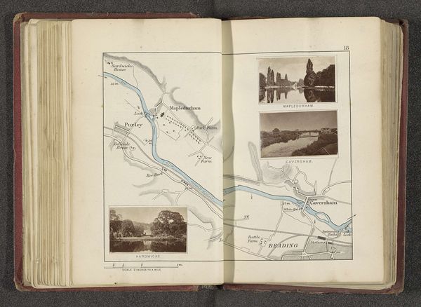
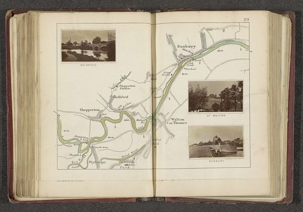
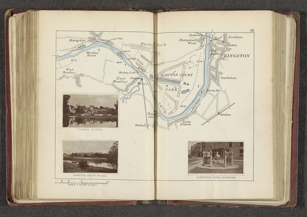
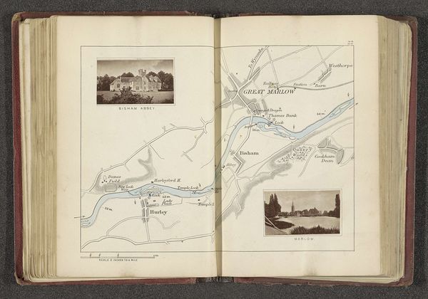
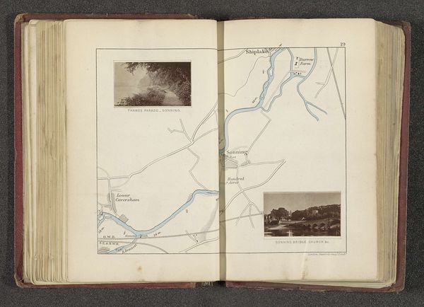
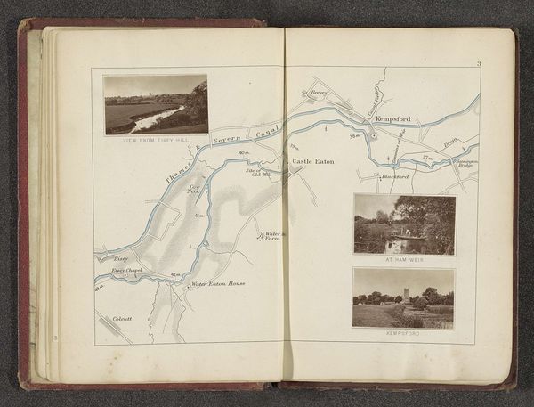
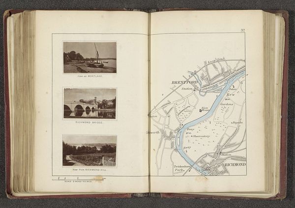
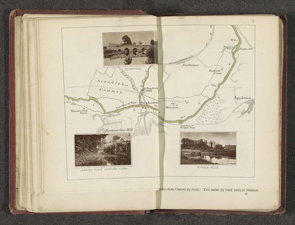
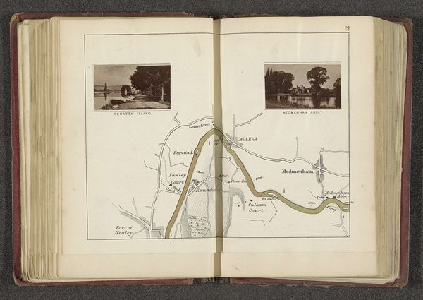
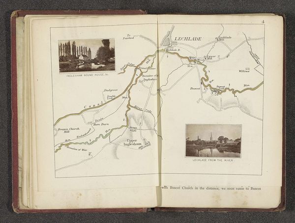
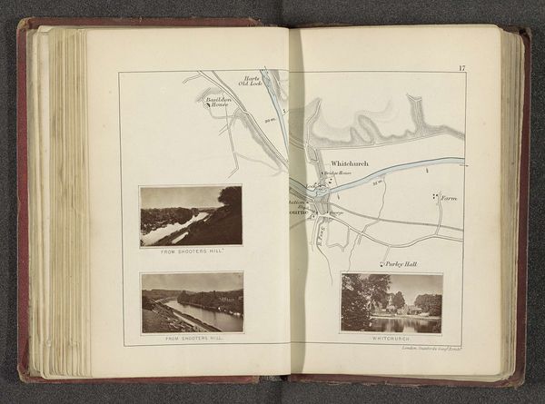
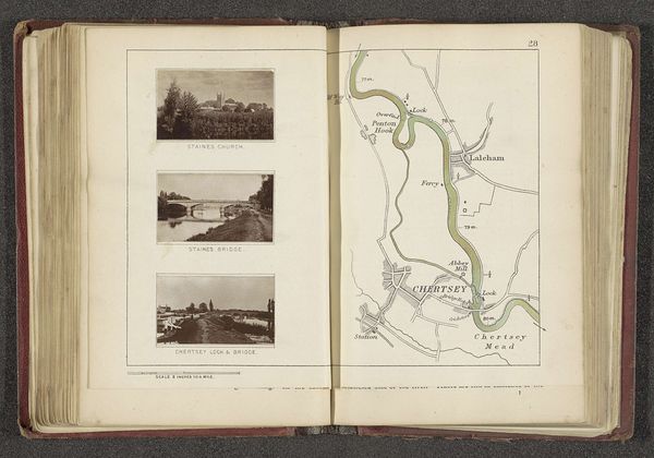
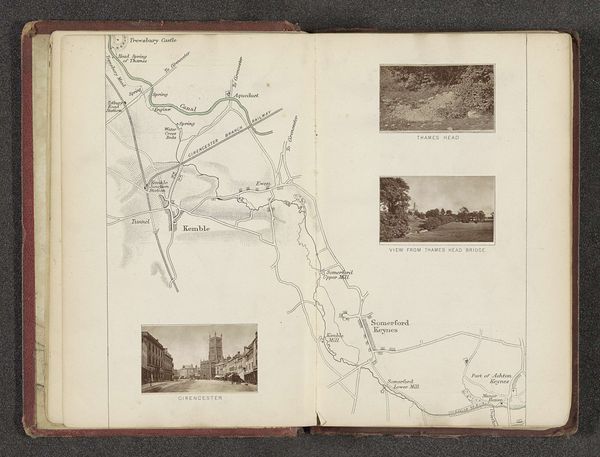
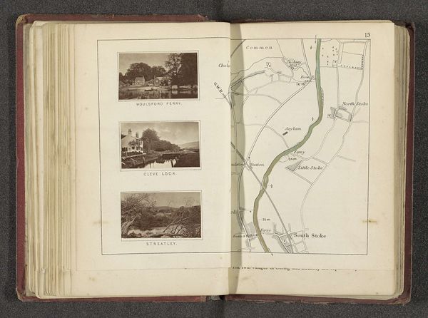
Editor: Here we have a fascinating page from a book by Henry W. Taunt, created before 1879: "Kaart met twee afbeeldingen van plaatsen langs de Theems"—which translates to "Map with two images of places along the Thames." It's a mixed-media work, incorporating drawings, prints, photography, and ink on paper, and also hints of coloured pencil. I’m struck by how it merges cartography with picturesque snapshots. What draws your eye in this piece? Curator: Oh, isn’t it enchanting? For me, it's like stumbling upon a forgotten journey, a personal logbook meticulously crafted. The Thames isn’t just a river here; it’s a thread connecting memories, sketching out both physical space and emotional landscape. Note the juxtaposition of the clinical map and the almost dreamlike photographs; it feels like a tension between wanting to precisely chart a territory and wanting to lose oneself completely within it. It whispers to me of Sunday afternoons, of gentle punts and riverside picnics – that Edwardian yearning for a slower, simpler rhythm. Do you get that feeling of nostalgia too? Editor: Absolutely, I do. There’s something very wistful about it, especially the tiny photos included in the page. They feel almost like faded memories. I almost want to imagine myself in the boat travelling through the river. Curator: Precisely! It is like a visual poem of yearning. But the artist doesn't offer complete escapism; they ground the dream in geographical reality. This map isn’t just about pretty scenery, it suggests exploration and curiosity. It seems that we are supposed to make our own trips by looking at it. Editor: So, the mix of practicality and dreamy scenery encourages a personal relationship with the geography being presented. Curator: Exactly! It becomes a dialogue with the artist, a co-creation of a journey both real and imagined. Isn't that the beautiful power of art—to spark our own voyages? Editor: I agree. It’s much more than just lines and photos now! It is an invitation. Thank you so much for all the great comments!
Comments
No comments
Be the first to comment and join the conversation on the ultimate creative platform.
More like this