drawing, print, paper, photography, ink
#
drawing
# print
#
landscape
#
river
#
paper
#
photography
#
personal sketchbook
#
ink
#
coloured pencil
#
watercolor
Dimensions: height 162 mm, width 232 mm
Copyright: Rijks Museum: Open Domain
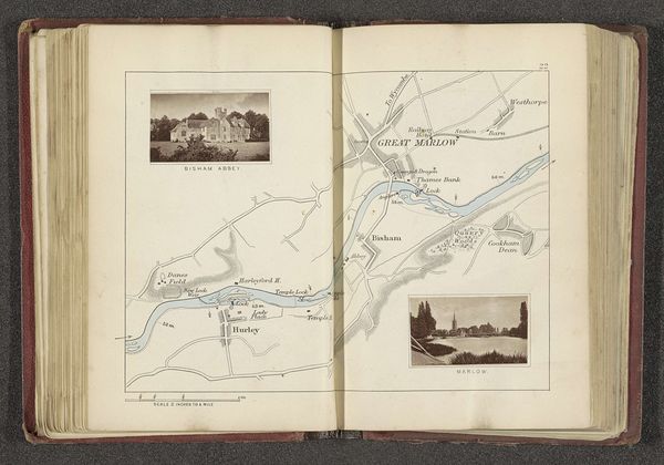
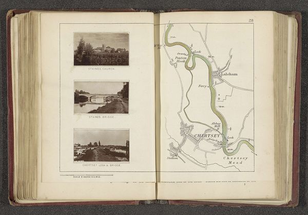
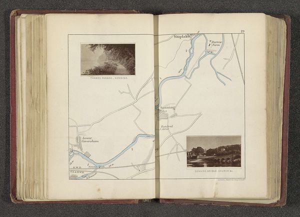
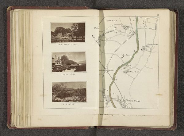
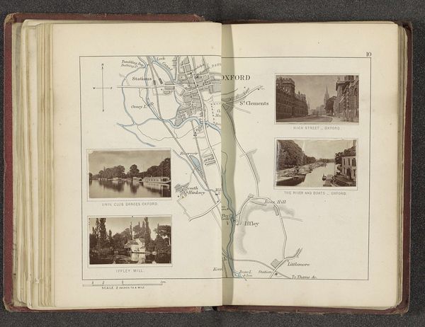
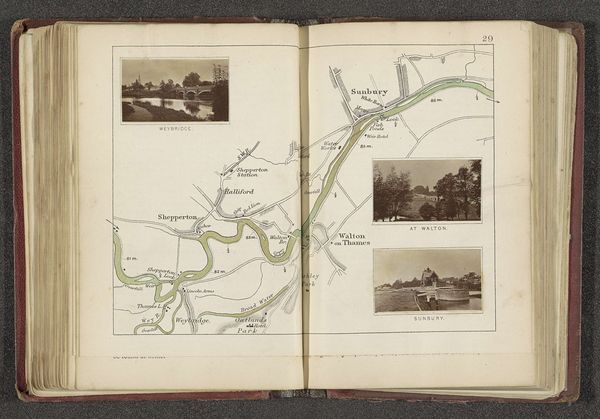
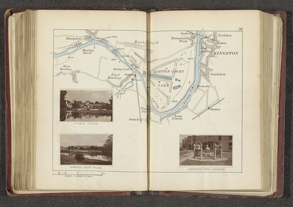
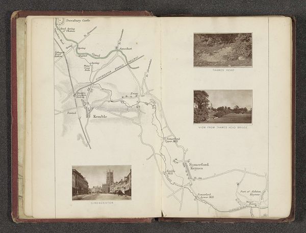
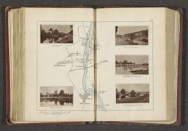
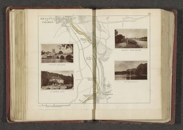
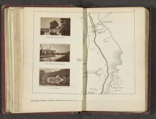
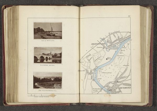
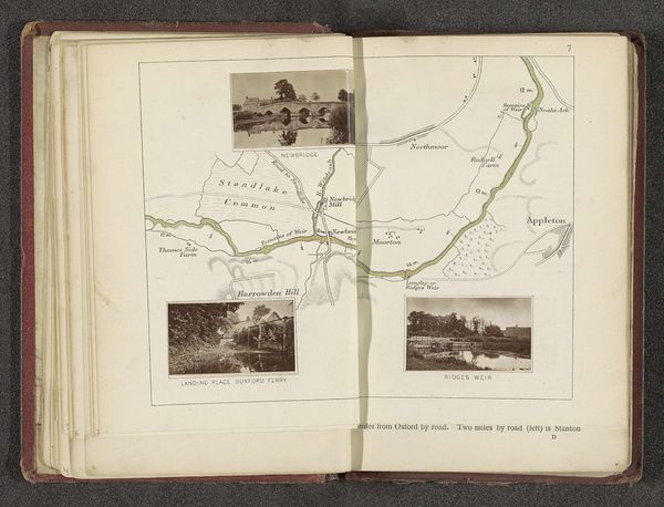
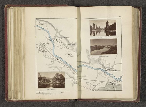
This is a page from a book by Henry W. Taunt, featuring a map and photographs of places along the River Thames. The map is delicate, rendered with fine lines in muted greens and browns, and it charts the river’s course and surrounding landscape. The photographs, placed at the top right, offer a contrasting perspective, capturing specific scenes with realistic detail. The map’s visual language invites us to consider how space is constructed and represented. Its abstract rendering simplifies the landscape into a network of signs. The photographs, however, anchor the viewer to the palpable reality of these locations, highlighting particular architectural and natural features. The juxtaposition creates a tension between objective cartography and subjective experience. Taunt’s book is not simply about conveying geographical data; it is a reflection on how we perceive, document, and relate to the environment. The interplay between abstract mapping and photographic representation prompts questions about the nature of place and our understanding of it.
Comments
No comments
Be the first to comment and join the conversation on the ultimate creative platform.
More like this