print, photography
# print
#
landscape
#
river
#
photography
#
coloured pencil
#
cityscape
Dimensions: height 163 mm, width 236 mm
Copyright: Rijks Museum: Open Domain
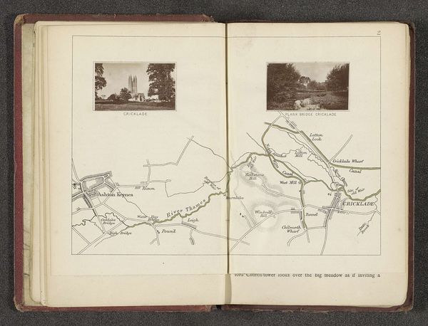
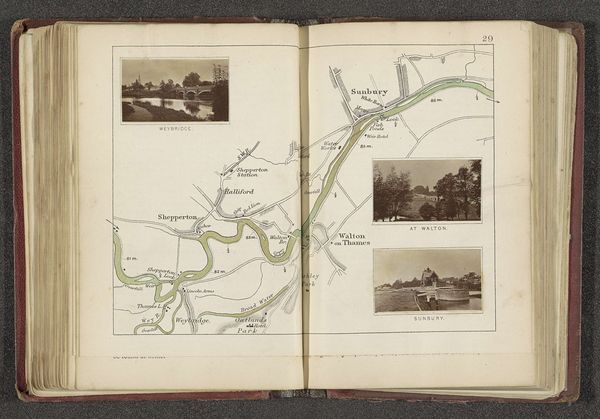
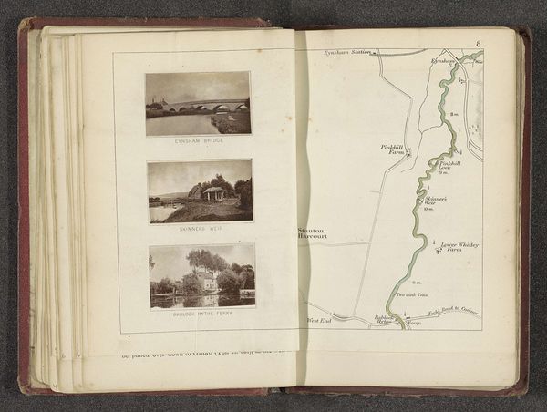
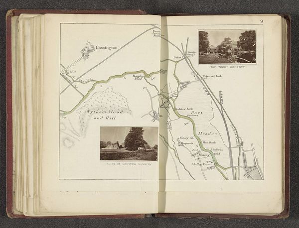
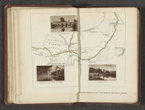
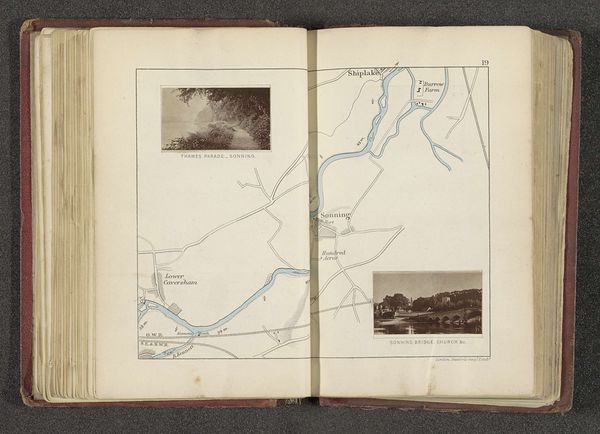
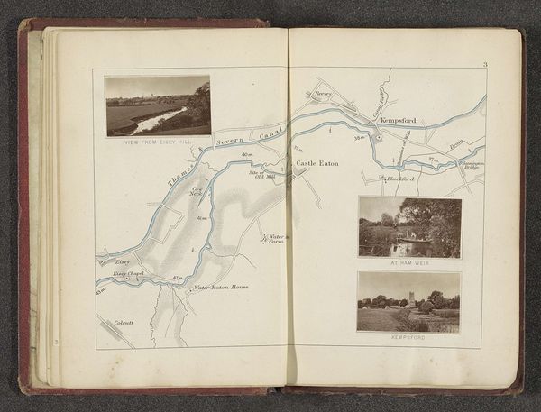
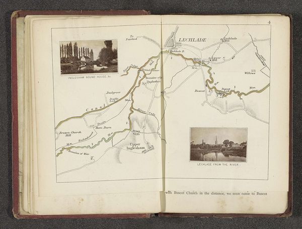
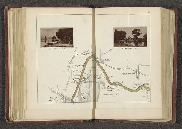
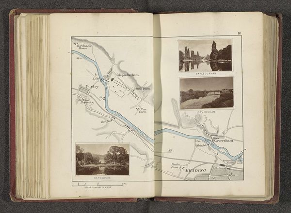
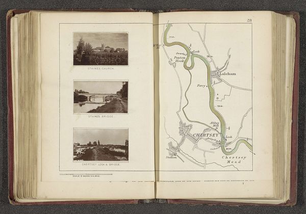
Editor: This is "Kaart met drie afbeeldingen van plaatsen langs de Theems" by Henry W. Taunt, before 1879, combining photography and printmaking. It has a calm, pastoral feel, doesn't it? What strikes you about the way this map and these landscape images come together? Curator: What immediately grabs me is the inherent tension within this work. We see the picturesque, almost romanticized views of the Thames, juxtaposed with the precision of cartography. Taunt is creating not just a visual representation, but also a social narrative. Consider who this map might have been for, and the perspective it offers. Were these places of leisure accessible to all, or only certain classes? Editor: That's an interesting point; I hadn't considered the social aspect so directly. I guess I was seeing it more as a quaint historical document. Curator: Think about the act of mapping itself – who gets to define the space and how it’s represented. These photographic inserts offer what seems like objective truth, but whose truth? This curated selection is presented alongside the stark lines of the map which can be viewed as an instrument of power, laying claim to the land. Does that resonate? Editor: It does now! I see what you mean about the potential for power dynamics hidden within this seemingly innocent image. Curator: Exactly! By examining the historical context and the choices made in representing these scenes, we can unveil complex stories about ownership, access, and the selective framing of reality. So, this isn't just a map, but a cultural artefact that opens up important questions. Editor: Thanks, that's really given me a new way to appreciate the layers in this piece! I will definitely think about art with this in mind.
Comments
No comments
Be the first to comment and join the conversation on the ultimate creative platform.
More like this