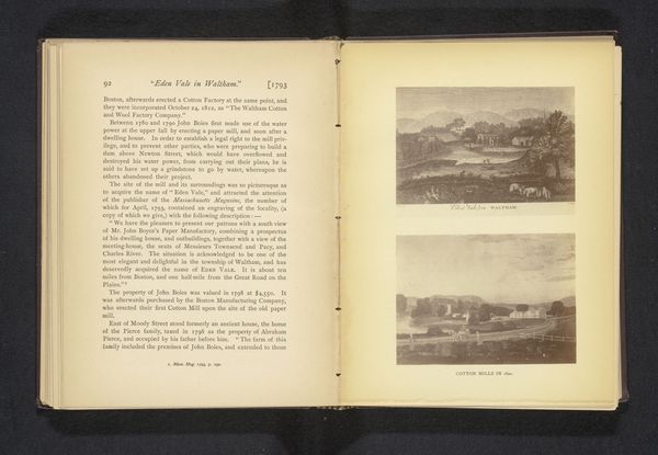
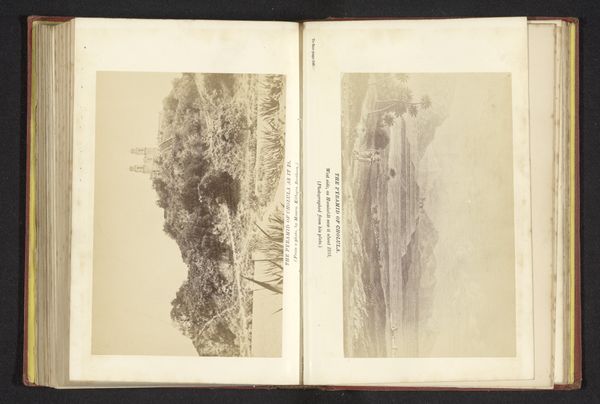
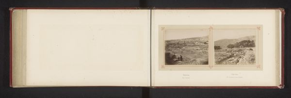
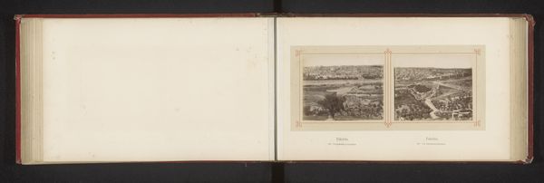
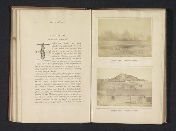
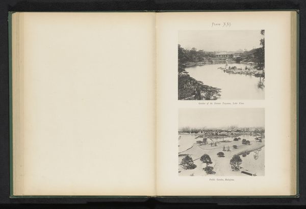
drawing, print, paper, photography
#
drawing
# print
#
landscape
#
river
#
paper
#
photography
#
personal sketchbook
#
coloured pencil
#
sketchbook drawing
#
cityscape
#
watercolour bleed
#
watercolor
Dimensions: height 163 mm, width 236 mm
Copyright: Rijks Museum: Open Domain
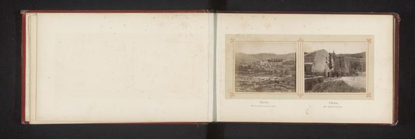
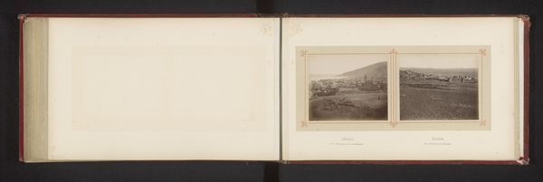
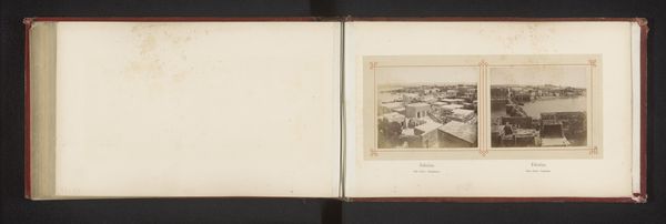
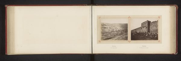
Curator: This is a page from Henry Taunt's sketchbook, dating from before 1879. It’s titled "Kaart met drie afbeeldingen van plaatsen langs de Theems"— "Map with three images of places along the Thames." It combines drawn maps with inserted photographs. Editor: My first thought is how precious it feels, like a personal diary translated into cartography. There's such an intimacy in its blend of precision and personal vision. It makes me wonder who he was and who was going to see these pages. Curator: Taunt was a fascinating figure, a Victorian photographer documenting the Thames. What’s interesting to me is how this object blurs the lines between objective documentation and subjective interpretation. Editor: Yes! You have this supposedly objective cartographic representation paired with these evocative, almost dreamy photographic snapshots. The handwritten annotations alongside reinforce that subjectivity, grounding it in lived experience. Curator: Exactly. The act of mapping, of defining space, has always been entwined with power. Who gets to name a place, who gets to decide its borders? Editor: And in this context, we can view it as a kind of self-fashioning. Taunt isn’t just documenting a place; he's positioning himself within a landscape, within a historical and social context. The photographs are windows into a particular moment in time. Curator: And in that moment in time we can imagine that the way to perceive, describe, capture, and finally archive the natural world through new emerging visual tools can become some sort of canon to build certain socio-economical status in the art market and local high society, as well. Editor: I find it so interesting to note this interweaving of map and photograph, objective and subjective, in this historical context. It becomes something richer, reflecting identity. I'll certainly never look at maps in the same way again! Curator: Nor will I. These combined practices show the cultural importance that a local figure had when new technics allowed it to become an early explorer with a camera in a local geography.
Comments
No comments
Be the first to comment and join the conversation on the ultimate creative platform.
More like this