print, watercolor, engraving
#
baroque
# print
#
landscape
#
watercolor
#
coloured pencil
#
watercolour illustration
#
history-painting
#
engraving
Dimensions: height 148 mm, width 202 mm
Copyright: Rijks Museum: Open Domain
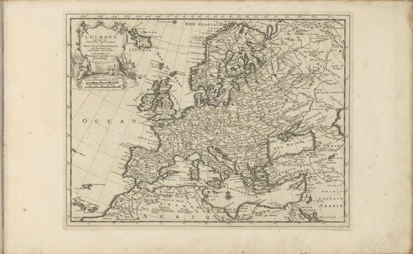
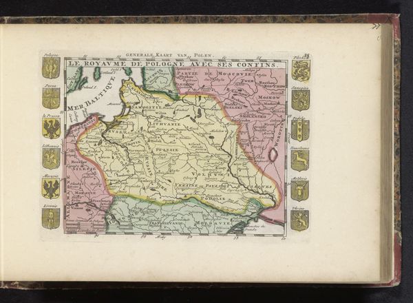
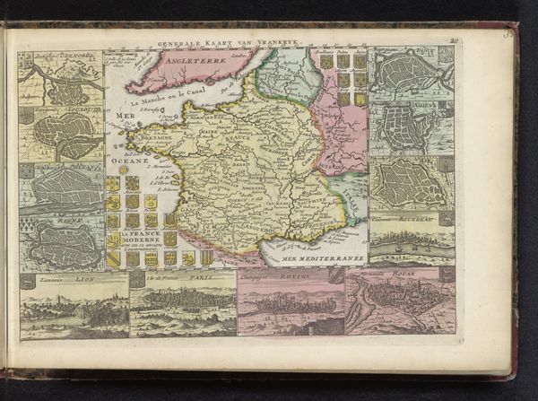
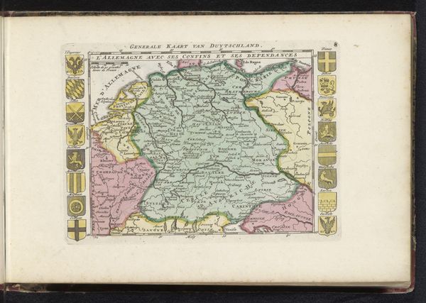
Editor: Here we have an early 18th-century map of Europe, titled "Kaart van Europa," dating roughly from 1700 to 1735, made by an anonymous artist. The details are beautifully rendered in watercolor and engraving. It is somehow very beautiful, I’m wondering what symbolic reading it suggests? Curator: This map presents Europe as a constellation of symbols. Notice the careful demarcation of territories, each a little island of identity within a larger, imagined whole. What do you observe in the colour choices for each state? Editor: Well, some are pink and others are light green, still others in yellow and beige. They feel symbolic rather than mimetic of "real" colours... Curator: Exactly. Color, in this context, functions beyond mere representation. Consider the heraldry that frames the map. They speak to lineages, power structures, and perhaps even aspirations. How do these symbols interact with the geographical representation itself? Editor: It's almost like the map is less about geographic accuracy, and more about staking a claim, a symbolic owning of the land through images and emblems. Curator: Precisely. And consider the image labelled as "Evropa." What do you make of that pairing of figures and the continent itself? The map’s function, beyond wayfinding, served as a potent visual declaration. Editor: Fascinating! It reframes how I see maps. Thanks! Curator: My pleasure. Now you might observe how these elements, drawn from history, anthropology, and visual culture, converge to create a layered narrative of identity and power.
Comments
No comments
Be the first to comment and join the conversation on the ultimate creative platform.
More like this