drawing, coloured-pencil, print, paper, engraving
#
drawing
#
coloured-pencil
#
baroque
# print
#
asian-art
#
landscape
#
paper
#
coloured pencil
#
geometric
#
history-painting
#
engraving
Dimensions: height 140 mm, width 190 mm
Copyright: Rijks Museum: Open Domain
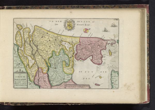
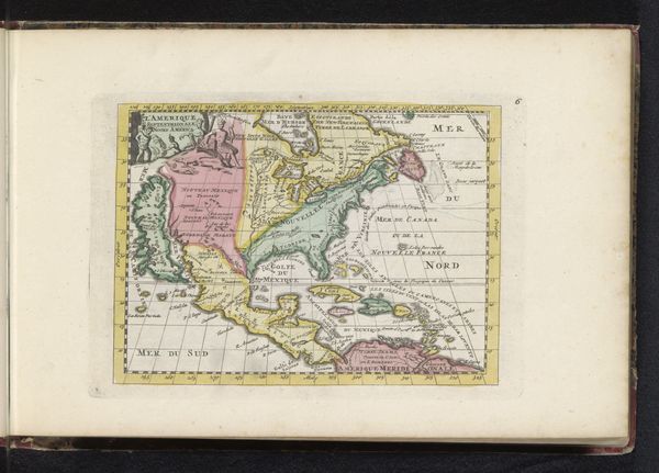
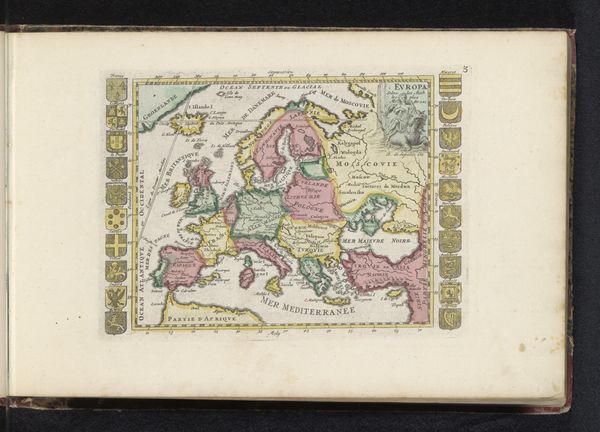
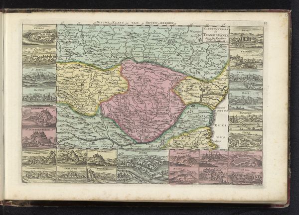
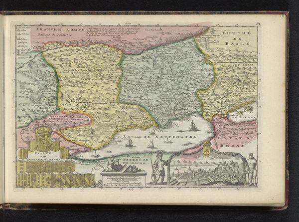
Curator: What immediately strikes me is how meticulously rendered this piece is. It feels almost scientific, yet imbued with artistic flair. Editor: Indeed. We're looking at "Kaart van Azië," a print created between 1700 and 1735, by an anonymous artist. It's composed of drawing and colored pencil on paper. Curator: The pastel color palette creates a surprisingly serene atmosphere for what is essentially a document of geographical power. The careful application of color to demarcate territories—it's visually compelling. Editor: Let's think about the historical context. Maps of Asia during this period reflect the ambitions and anxieties of European colonial powers. The very act of mapping is an assertion of control and a projection of a certain world-view. The inclusion, and indeed, the representation of Asian nations becomes a form of knowledge gathering—often with exploitative intentions. Curator: True, but consider the visual construction itself. The geometric grid, while representing navigational aid, provides an underlying structure. There’s a visual order imposed that gives a sense of mastery over the geographical unknown. Editor: The “unknown” is exactly where colonial ideologies operate most insidiously! The aesthetic choices – the pastels, the baroque cartouches – arguably soften the image of imperial dominance, normalizing a relationship built on exploitation. The landscape of Asia becomes a carefully constructed image, visually digestible for a European audience, masking violence through beauty. Curator: Perhaps. I still find beauty in the engraving work. The thin lines and intricate details offer a tangible connection to the cartographer’s labor. Editor: Yes, a beauty inextricable from the colonial project it supported. These objects compel us to unpack uncomfortable relationships between power and representation. Curator: I appreciate how you contextualized the map with its era’s global politics, it invites a layered appreciation. Editor: And I concede there's undeniable skill in the execution, regardless of intent. The map becomes a fascinating artifact.
Comments
No comments
Be the first to comment and join the conversation on the ultimate creative platform.
More like this