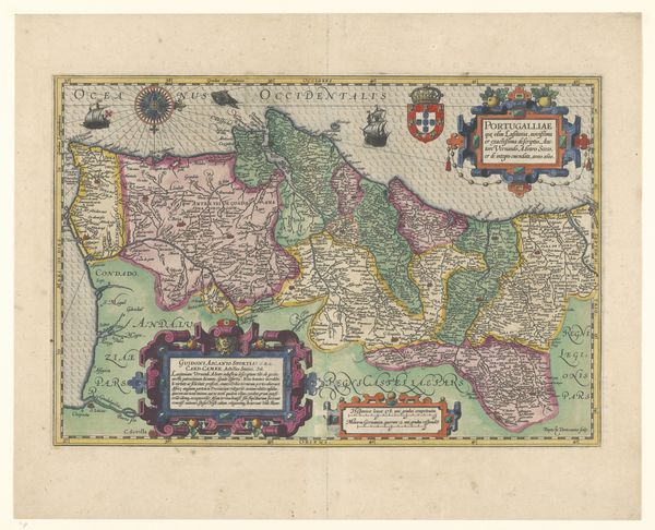
print, engraving
#
baroque
# print
#
engraving
Dimensions: height 460 mm, width 560 mm
Copyright: Rijks Museum: Open Domain
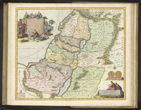
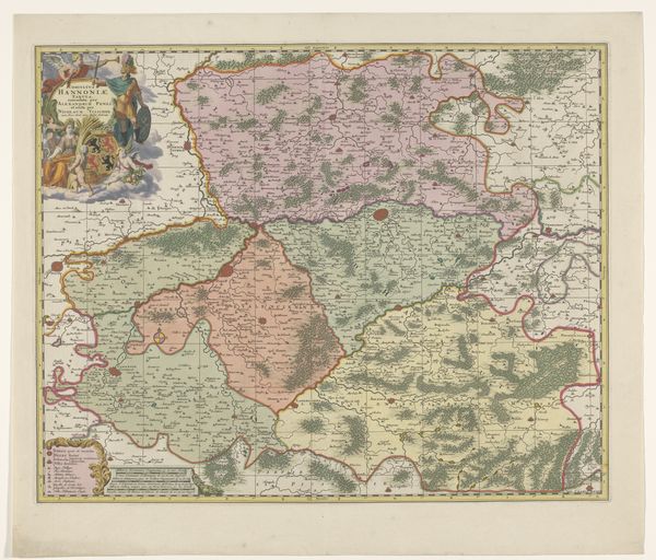
Willem Swidde created this map of the Peloponnesos using engraving techniques sometime before his death in 1697. This map, now in the Rijksmuseum, is more than a simple geographical tool; it's a window into the complex political landscape of the late 17th century. Swidde, working in the Netherlands, produced this map during a time when European powers were keenly interested in the Ottoman Empire's territories. The Peloponnesos, then known as Morea, was a strategic region, and its depiction here reflects Dutch commercial and military interests in the Mediterranean. Note the detailed coastline, crucial for naval navigation, and the allegorical figures that frame the map. The lion, often associated with Venice, raises questions about the competing claims over the region. To fully understand this map, historians consult a variety of sources, from trade records to military reports. What we see here is not just land, but a representation of power, ambition, and the social conditions that shaped European expansion.
Comments
No comments
Be the first to comment and join the conversation on the ultimate creative platform.
