drawing, print, engraving
#
drawing
#
dutch-golden-age
# print
#
landscape
#
geometric
#
architectural drawing
#
cityscape
#
engraving
Dimensions: height 423 mm, width 526 mm
Copyright: Rijks Museum: Open Domain
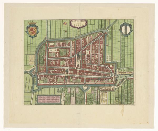
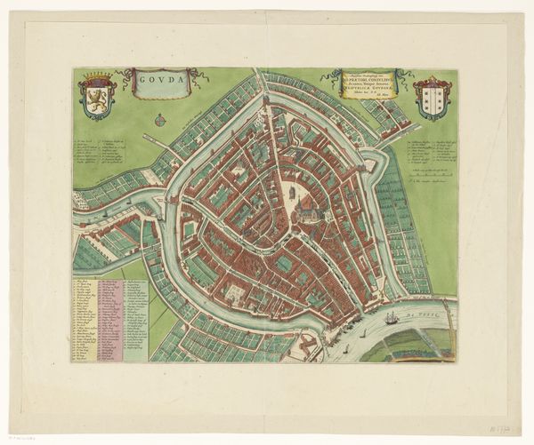
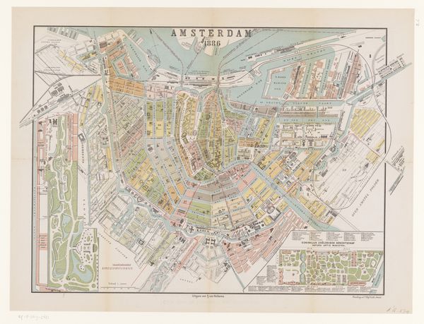
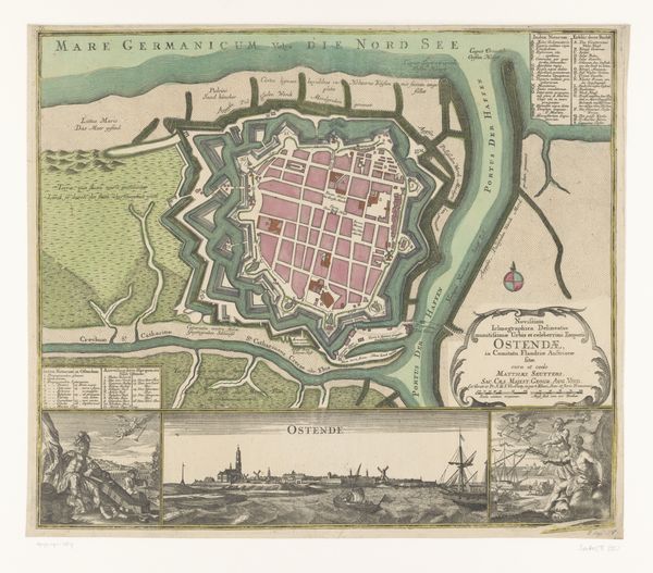
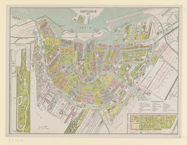
Curator: The crisp lines and subdued palette create a strangely compelling image, don't you think? A fascinating grid made of blocks of architectural information. Editor: Yes, it immediately strikes me with its meticulous detail and geometric harmony. This print, titled "Plattegrond van Schoonhoven," dating from around 1649 to 1728, offers a bird's-eye view of the Dutch town. Curator: And one crafted during the Dutch Golden Age no less. We see the intricate network of canals and the deliberate construction of its infrastructure. The waterways as modes of transport and commerce would have dictated much of the towns socio-economic dynamics, not just its visual arrangement. It also displays an impressive manipulation of landscape for human needs, which is hard to ignore here. Editor: True, but aesthetically, notice the arrangement of shapes and colors. The darker rooftops contrasting against the lighter waterways, the clear differentiation between building plots. See how that contrast forms a cohesive whole, guiding the eye to navigate its space. Curator: More than aesthetics, let's consider the labor involved in creating such a precise map. The surveying, engraving, and printing were all skilled trades, representing considerable investment by civic powers in documenting and promoting the town’s infrastructure and position within trade networks. Who was the targeted audience, and what exactly did they use these blueprints for? These documents become primary sources, offering rare insight into an urban center’s complex socio-political operations. Editor: I agree with your socio-political assessment, but consider too how form enhances function. The meticulous layout and linear precision not only provides an informative urban landscape; rather, it communicates a sense of order, structure, and prosperity within a growing metropolis. Curator: So, the medium is very much the message. The act of creating this document is just as important as the map itself. Editor: Ultimately, yes. But I would also offer that there's a palpable tension, wouldn't you agree, between the aesthetic choices here and functional representation? Both become one, telling a story about Schoonhoven, of how its layout affected the perception of that region as a progressive locale. Curator: Well, seeing the social network physically woven in that visual display and geometric aesthetic adds a new layer of meaning for me. Editor: And seeing the planning through its artistic construction certainly enriches our appreciation.
Comments
No comments
Be the first to comment and join the conversation on the ultimate creative platform.
More like this