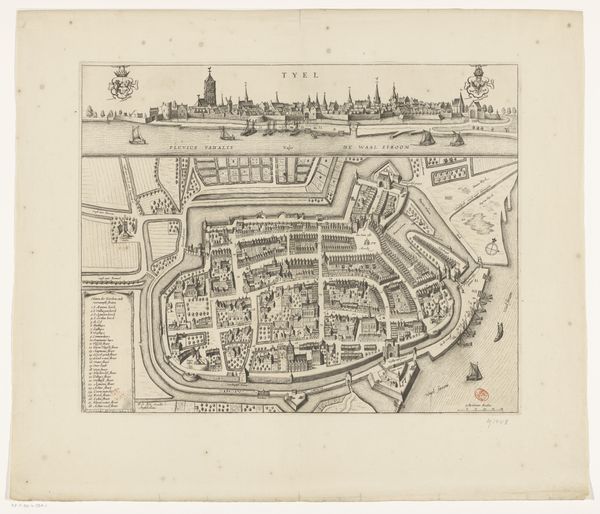
print, engraving
#
dutch-golden-age
# print
#
old engraving style
#
geometric
#
line
#
cityscape
#
engraving
Dimensions: height 421 mm, width 529 mm
Copyright: Rijks Museum: Open Domain
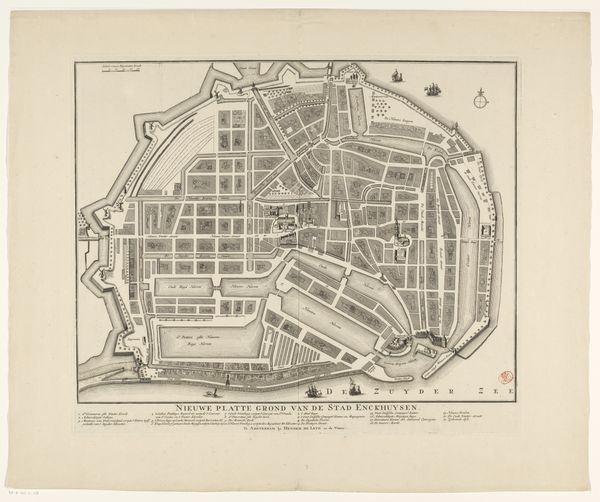
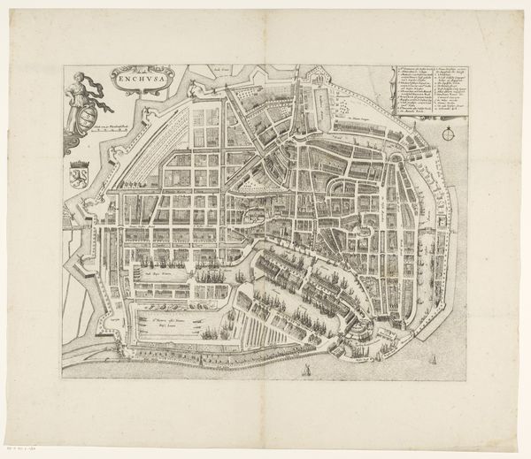
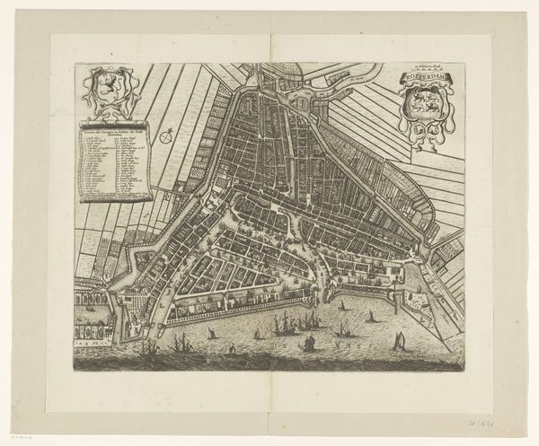
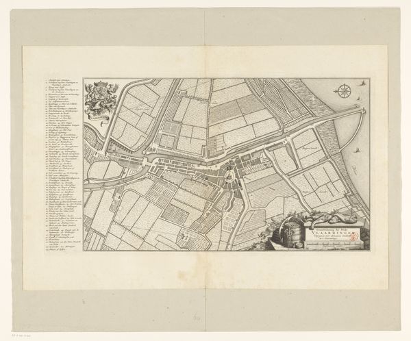
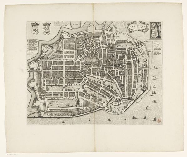
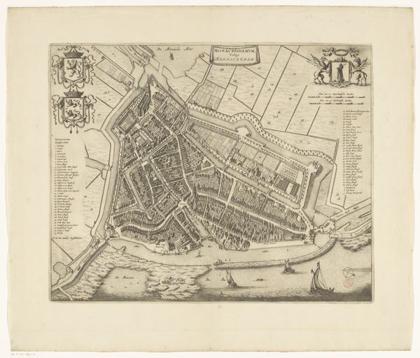
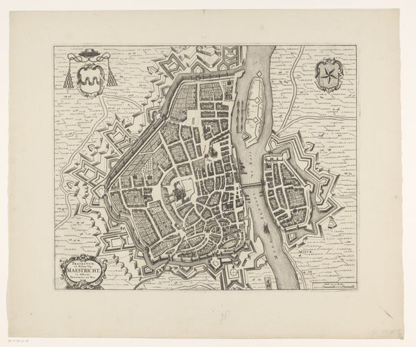
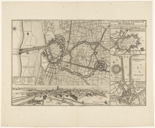
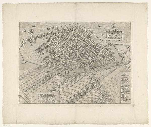
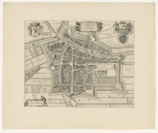
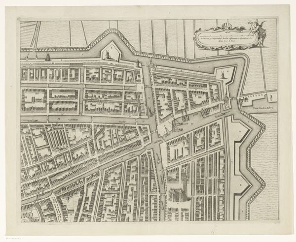
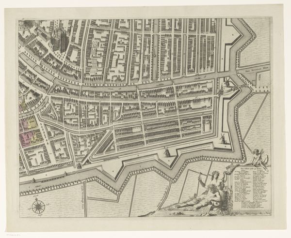
Curator: Before us we have Julius Milheuser’s “Plattegrond van Schoonhoven,” an engraving from 1652. Editor: My first thought is just how painstakingly detailed this print is, a stark black and white that nonetheless feels incredibly dense and teeming with human activity. Curator: Indeed. The linework itself is remarkably consistent, creating a uniformity across the entire plane of the print, and offering the eye a clear, geometrical grid within which to read the map. There’s an interplay of negative space with incredibly compact marks that suggests an underlying structure. Editor: But it also speaks to the practical realities of the time. Engravings like these were critical to civic administration, trade, and military planning. Think of the engraver themselves – imagine the hours of labour involved, the skill needed to produce such fine lines so consistently. Each line is a record of human labor. Curator: An excellent point. One can almost see the conceptual order taking visual form. What’s compelling to me is the tension between this imposed grid and the natural fluidity of the Lek River and the surrounding landscape, how they relate, compete even, on the same pictorial plane. Editor: Consider the materials too – the paper, the metal plate, the inks. This wasn't about art for art's sake. It's an artefact of its time, linked to societal functionality. And those ornate crests on opposite corners are telling too, signalling municipal pride and power. They highlight the town's political identity. Curator: Precisely. While the representation might seem objective, the very act of selecting what to include, the scale of representation, subtly underscores specific hierarchies. It transforms a spatial mapping into a semiotic exercise in understanding statehood, doesn’t it? Editor: It brings to mind not only a display of urban planning, but also its impact on resource allocation, the role of labourers who maintain the city's infrastructure. I guess what draws me to pieces like this isn’t just aesthetic appeal but their silent testimony to historical modes of labour. Curator: Ultimately, it's this intersection between structure, symbolic weight and visual clarity, that keeps “Plattegrond van Schoonhoven” relevant across the ages. Editor: And reminds us that behind every careful stroke of design, there are human hands, working tirelessly.
Comments
No comments
Be the first to comment and join the conversation on the ultimate creative platform.
