print, engraving
#
baroque
# print
#
cityscape
#
history-painting
#
engraving
Dimensions: height 497 mm, width 575 mm
Copyright: Rijks Museum: Open Domain
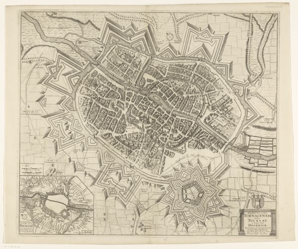
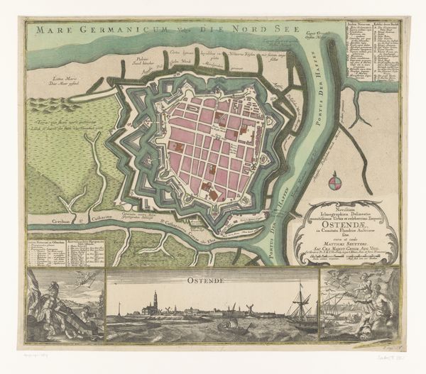
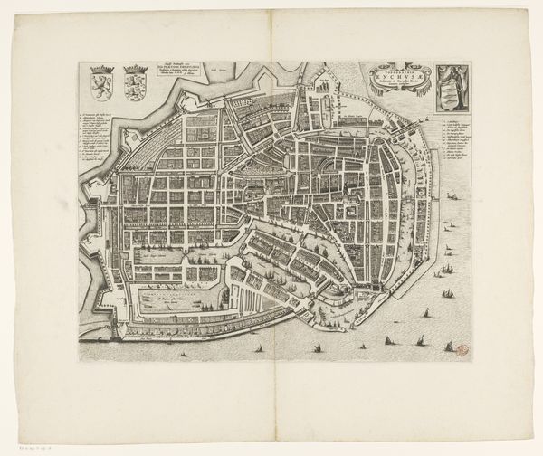
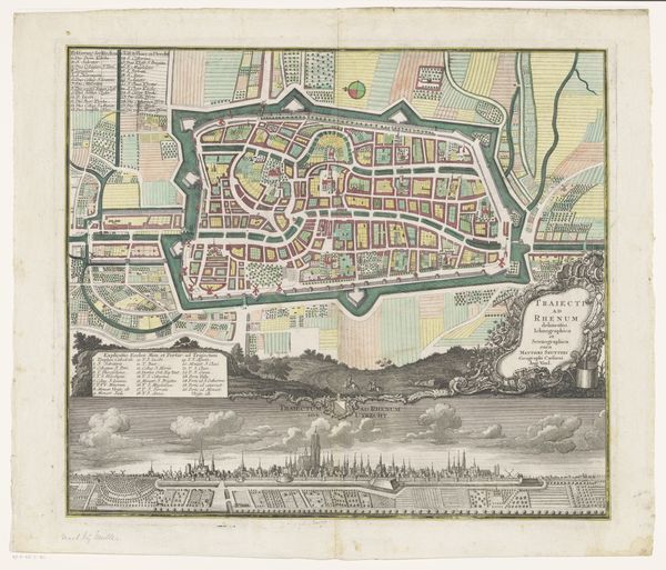
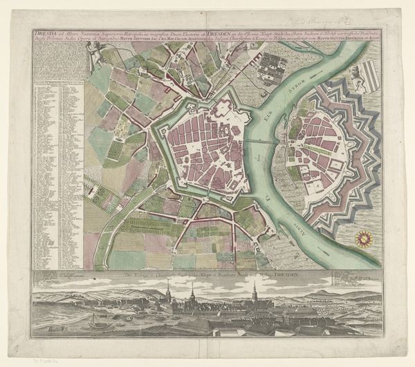
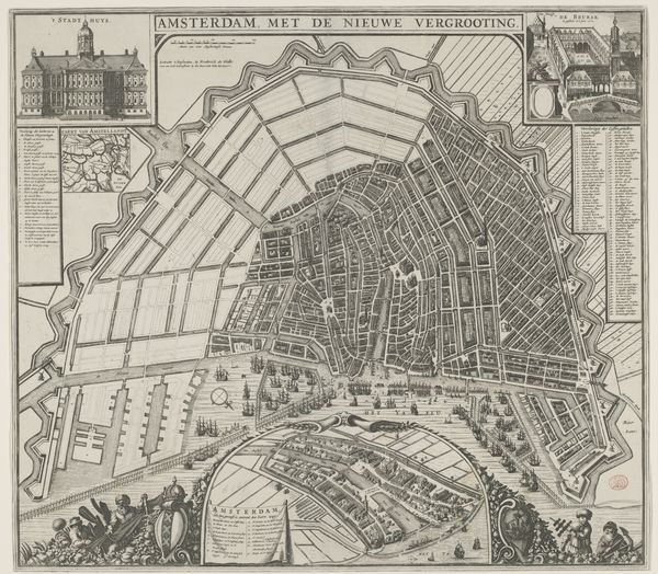
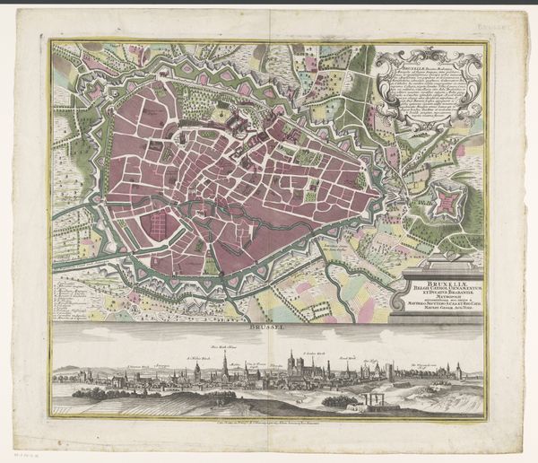
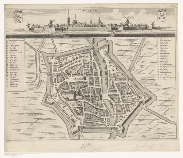
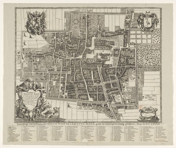
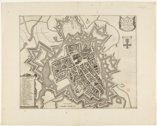
Matthaeus Seutter's "View and Map of Berlin," presents a symbolic tableau, deeply rooted in the city's identity. Look at the allegorical figures adorning the composition, guardians of Berlin's virtues and power, standing proudly alongside the city's coat of arms. The visual language employed here harkens back to ancient Roman cartography, where cityscapes were not merely representations but statements of civic pride and imperial reach. The rigid fortifications encircling the city, depicted with geometric precision, echo the walls of ancient strongholds, embodying protection and order. Consider how the image of fortified cities evolves. From the protective walls of Jericho to the elaborate defenses of medieval castles, this symbol resurfaces, reflecting humanity's primal need for security. This collective memory evokes a psychological response; the city as a safe haven, a bulwark against the unknown, engaging viewers at a deep subconscious level. Notice how this symbol, once denoting physical security, has transformed, reappearing in our modern world, in the digital "firewalls" that protect our data, underscoring the cyclical progression of symbols as they adapt to new contexts.
Comments
No comments
Be the first to comment and join the conversation on the ultimate creative platform.
More like this