print, engraving
#
baroque
#
dutch-golden-age
# print
#
cityscape
#
engraving
Dimensions: height 502 mm, width 581 mm
Copyright: Rijks Museum: Open Domain
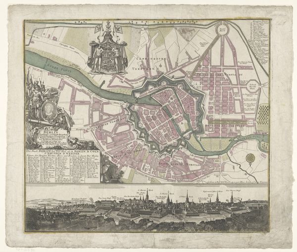
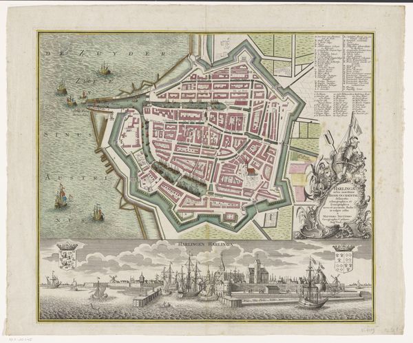
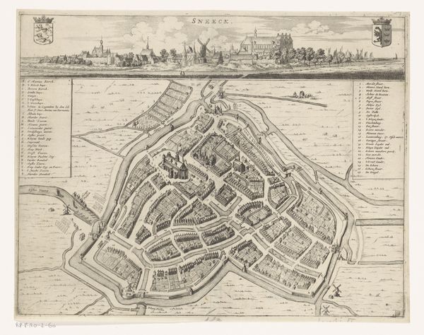
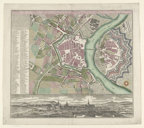
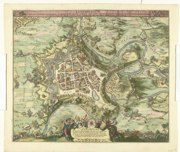
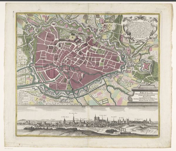
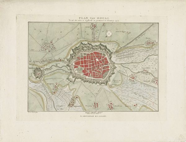
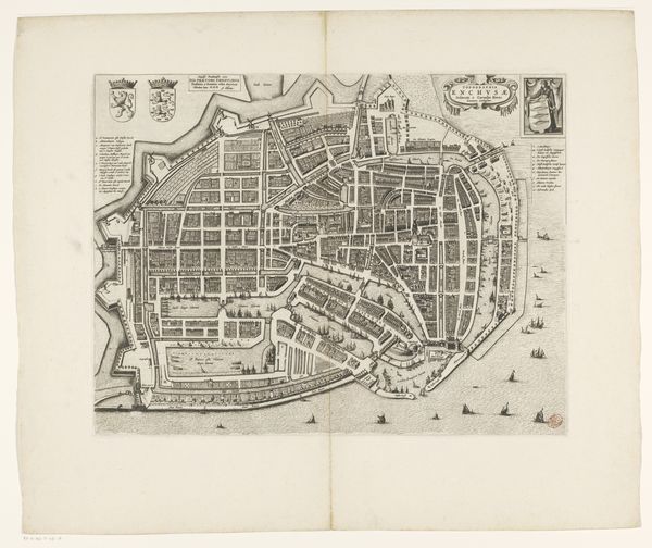
This is a copperplate engraving of Ostend, created by Matthaeus Seutter in the early 18th century. As a cartographer, Seutter was not just creating a representation of space; he was participating in an act of power. Look at how the city is rendered, the careful depiction of fortifications. In this period, the control of space, particularly strategic locations like Ostend, was a key element of state power. The map isn't just a neutral tool; it's a projection of authority. Consider the time in which it was made. The early 1700s were a period of intense geopolitical rivalry in Europe. Ostend, located in the Austrian Netherlands, was a coveted port. We can appreciate that the act of mapping was deeply intertwined with the political and military strategies of the time. To fully understand this map, we can consult period documents, military histories, and studies of cartography as a tool of power. This helps us to appreciate how representations of space are always embedded in specific social and institutional contexts.
Comments
No comments
Be the first to comment and join the conversation on the ultimate creative platform.
More like this