lithograph, print
16_19th-century
lithograph
geometric
cityscape
Dimensions: height 440 mm, width 580 mm
Copyright: Rijks Museum: Open Domain
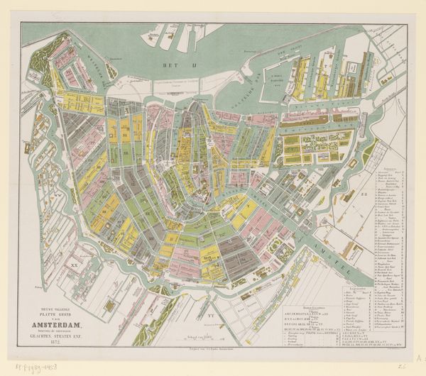
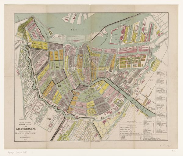
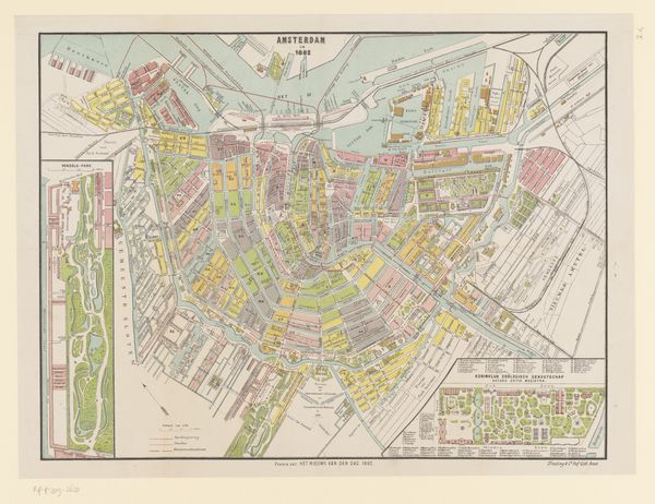
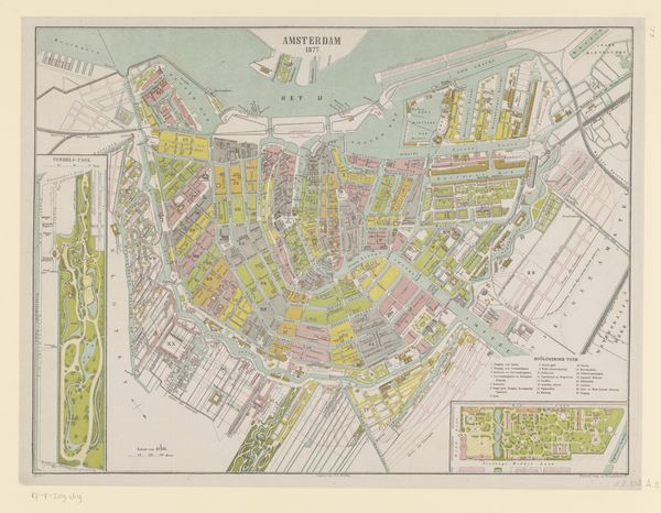
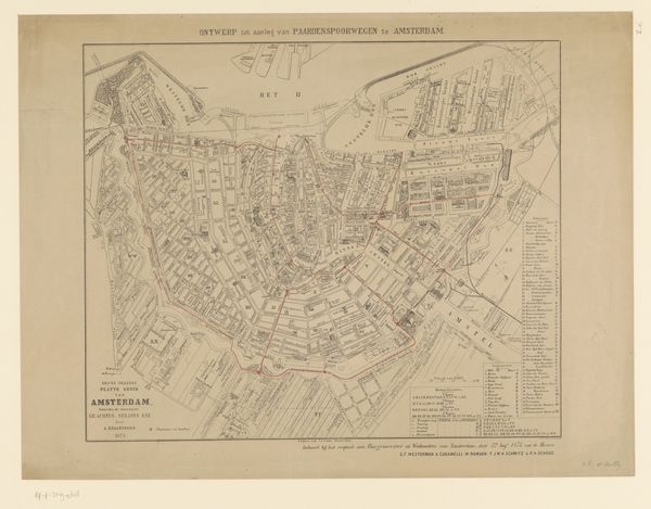
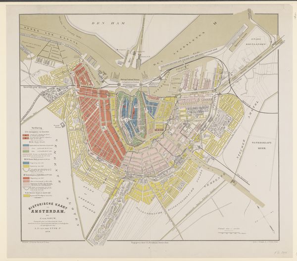
This is a map of Amsterdam, created in 1886 by an anonymous cartographer, printed on paper. The city's arteries, its canals, are the dominant symbols here. Water, since antiquity, has been viewed as a source of life, purification, and renewal. The interwoven canals of Amsterdam, meticulously mapped, evoke not just a city's infrastructure but also a sense of its lifeblood. Think of the ancient Egyptians and their reverence for the Nile, or the Greeks with their sacred rivers. The connection between civilization and waterways is deeply embedded in our collective consciousness. The map's very structure, with the canals radiating outwards, reminds me of the cyclical nature of time. Just as the rivers flow and return, so too do ideas and motifs resurface, transformed by new contexts. Amsterdam, as depicted here, becomes more than just a place; it is a testament to the enduring human quest for order, connection, and meaning.
Comments
No comments
Be the first to comment and join the conversation on the ultimate creative platform.