print, etching
#
dutch-golden-age
# print
#
etching
#
landscape
#
etching
#
cityscape
Dimensions: height 389 mm, width 494 mm
Copyright: Rijks Museum: Open Domain
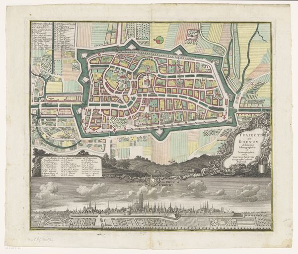
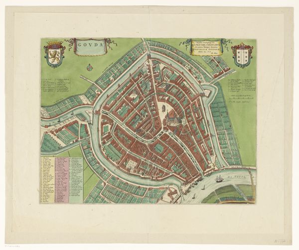
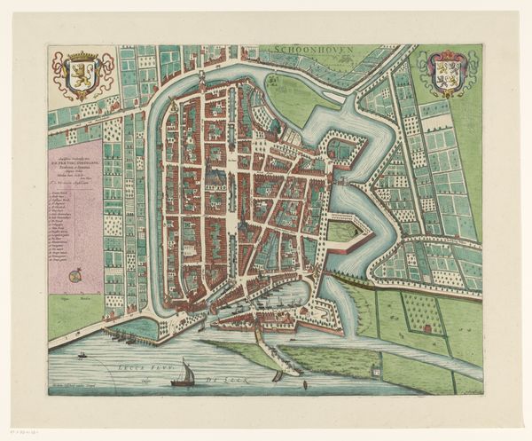
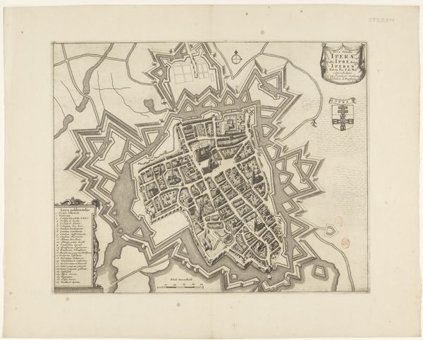
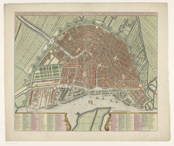
This is an anonymous rendering of Delft, created without a specified date, rendered with striking precision. The bird's-eye view employs color to distinguish the urban from the natural, with densely packed structures in red and verdant plots in green, evoking an immediate contrast. The map operates as a semiotic system: the walls around the city not only demarcate space but also represent power, protection, and order. Streets are a network of lines, delineating the architecture while guiding the eye and implying movement and connection. Linear, perpendicular elements create defined rectilinear blocks and shapes within the composition. These are juxtaposed against the natural environment which has an organic, free-flowing shape. The use of perspective flattens the city into a series of planes, challenging our sense of spatial depth, which might remind us of structuralist ideas about the fixed nature of signs and symbols. These various visual elements, such as line, color, and perspective, create meaning by reflecting the city's structure and its relationship to the surrounding world.
Comments
No comments
Be the first to comment and join the conversation on the ultimate creative platform.
More like this