print, engraving
dutch-golden-age
geometric
cityscape
engraving
Dimensions: height 382 mm, width 498 mm
Copyright: Rijks Museum: Open Domain
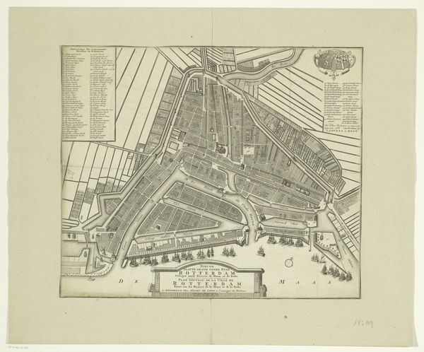
This is a bird’s eye view of Gouda, made anonymously, using ink and watercolor on paper. The print work would have begun with the creation of a copper plate engraving. A skilled artisan would have painstakingly cut lines into the metal surface, following the contours of the city’s layout. Ink was then applied to the plate, pressed onto paper, leaving a precise impression of Gouda's streets, buildings, and waterways. Finally, it was finished with watercolor. Look closely, and you can see the textures and details of the built environment rendered with precision. The map is more than just a functional tool, though. It’s a testament to the labor, skill, and artistry that went into its creation. It reflects the growth of cities as centers of commerce. Maps like this are often overlooked as works of art, but they are a reminder of the close relationship between craft, design, and the built environment.
Comments
No comments
Be the first to comment and join the conversation on the ultimate creative platform.