drawing
drawing
cityscape
Dimensions: height 400 mm, width 528 mm
Copyright: Rijks Museum: Open Domain
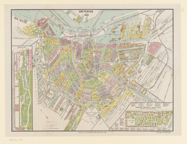
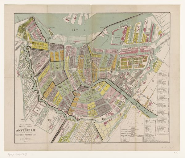
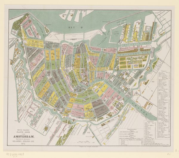
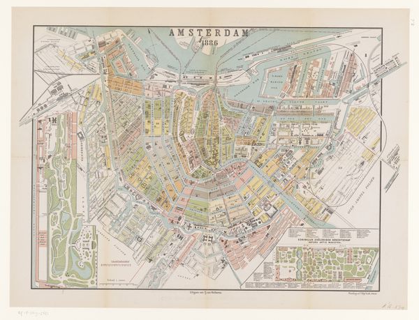
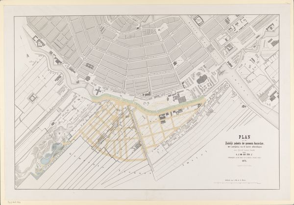
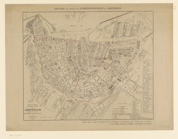
Albertus Braakensiek created this colorful map of Amsterdam in 1877, offering us a bird's-eye view of the city's layout. During this period, Amsterdam was experiencing significant urban development and social change, as the city grew and modernized. Braakensiek's map is more than just a navigational tool; it reflects the social and cultural values of the time. The clear delineation of neighborhoods and landmarks provides insights into the city's class structure and the spatial distribution of resources. We can see how the wealthy neighborhoods differ from the industrial areas, highlighting the economic disparities of the era. Think about the emotional experience of navigating a city like Amsterdam in the late 19th century. This map is not just about streets and buildings; it's about the lives of the people who lived, worked, and dreamed within its boundaries. It invites us to consider the stories of those who navigated these streets, their daily struggles and triumphs, and how their identities were shaped by the urban landscape.
Comments
No comments
Be the first to comment and join the conversation on the ultimate creative platform.