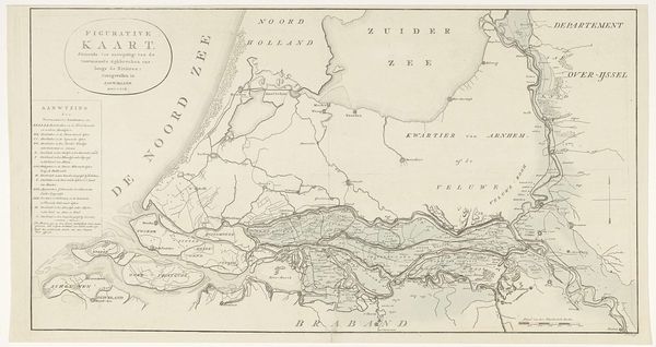
Kaart met twee militaire wegen van de Romeinen ten tijde van de Bataafse Opstand 1770
0:00
0:00
#
treasure map
#
aged paper
#
page thumbnail
#
botanical illustration
#
personal sketchbook
#
botanical photography
#
botanical drawing
#
storyboard and sketchbook work
#
botanical art
#
warm toned green
Dimensions: height 297 mm, width 445 mm
Copyright: Rijks Museum: Open Domain
This undated map, made by an anonymous artist, uses ink and watercolor to depict two Roman military roads during the Batavian Revolt. The cool, pastel palette evokes a sense of historical distance, while the graphic lines and clear text impose a structured, almost clinical view of the ancient landscape. Visually, the map organizes space into distinct territories marked by large, blocky lettering. The roads, rendered as parallel lines, cut through these areas, suggesting a Roman imposition of order onto the existing geography and its people. Note how place names like "Frisiavons" and "Menapiens" are neatly contained within their respective regions, a cartographic act that both defines and confines. This hints at the power dynamics inherent in map-making, where naming and delineating territories is a form of control. Consider that this map is not just a factual representation but also a cultural artifact. It reflects how the past is interpreted and visually constructed to convey specific meanings about power, territory, and historical narrative.
Comments
No comments
Be the first to comment and join the conversation on the ultimate creative platform.
More like this