print, engraving
#
dutch-golden-age
# print
#
ink line art
#
geometric
#
history-painting
#
engraving
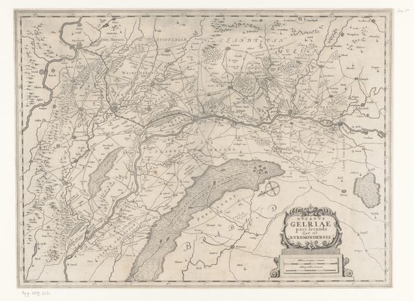
Dimensions: height 468 mm, width 538 mm
Copyright: Rijks Museum: Open Domain
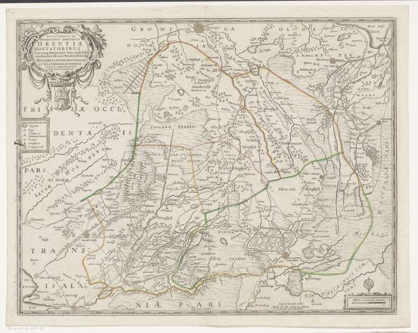
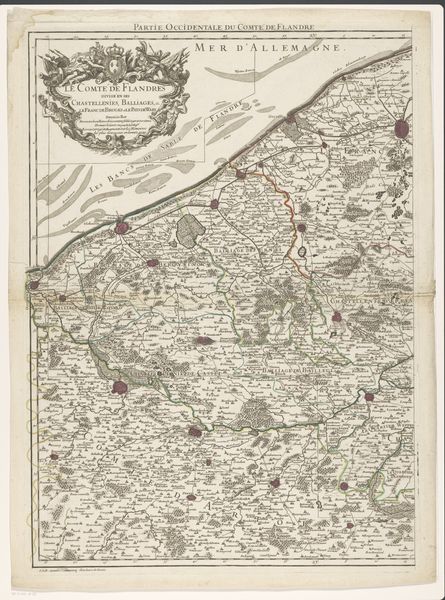
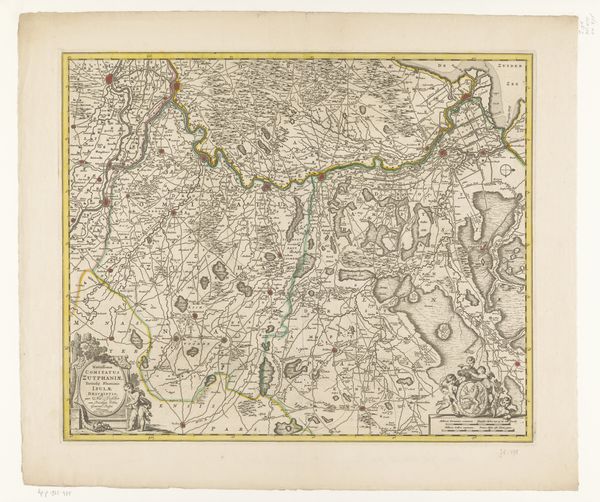
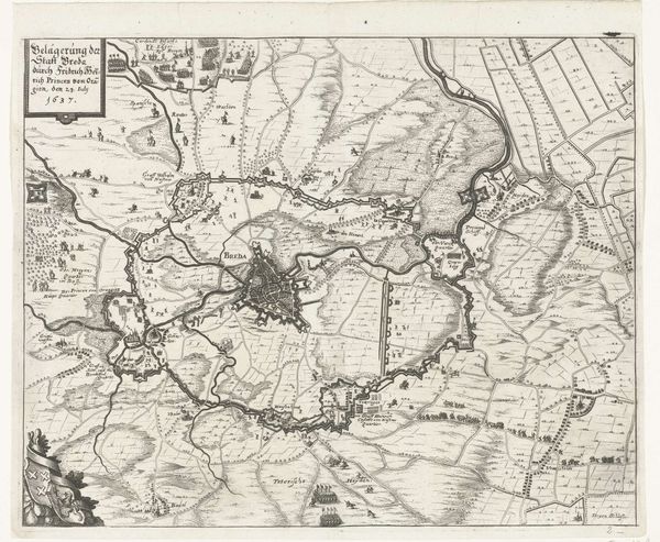
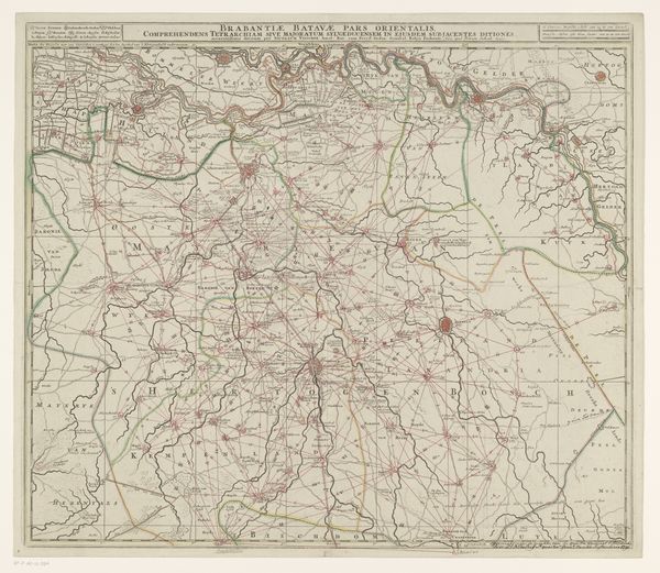
Here is a map of Overijssel, created anonymously with ink, and pigment. The map sprawls with a delicate yet assertive sense of order. Lines trace the waterways and boundaries, forming an intricate web across the parchment. A semiotic system emerges through cartographic signs, where each symbol represents a settlement, a topographic feature, or an administrative division. Look how the map destabilizes established categories of space through abstraction. The scale and perspective are manipulated to convey not just geographical data but also cultural and political information. The visual elements engage with ideas about power, representation, and knowledge. Notice the detailed rendering of the coat of arms. It signifies ownership and authority, embodying the complex interplay between spatial representation and socio-political control. In its totality, this map goes beyond mere cartography; it becomes a site of ongoing interpretation and re-interpretation, reflecting the cultural codes of its time.
Comments
No comments
Be the first to comment and join the conversation on the ultimate creative platform.
More like this