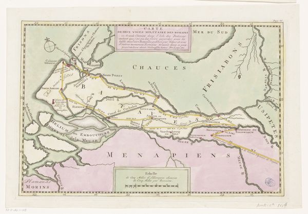
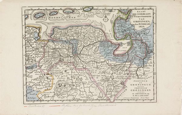
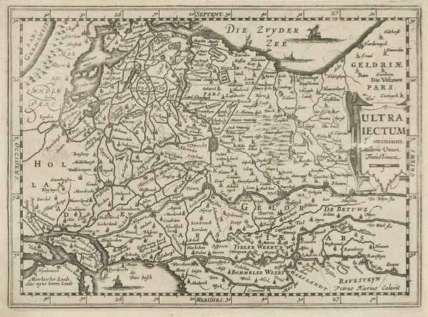
print, etching, engraving
# print
#
etching
#
landscape
#
history-painting
#
engraving
Dimensions: height 310 mm, width 360 mm
Copyright: Rijks Museum: Open Domain
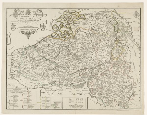
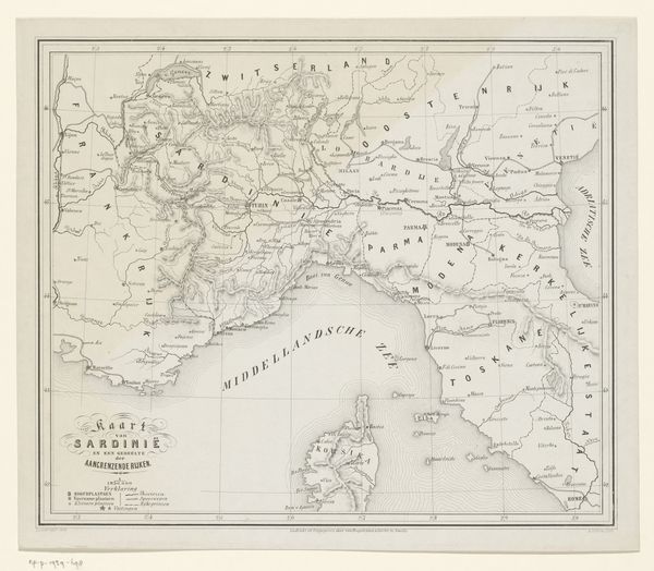
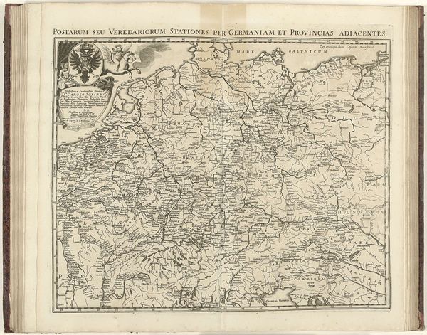
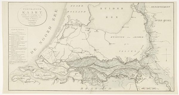
Daniël Veelwaard created this map of the theatre of war in 1805, published in Amsterdam the following year. It offers insights into the visualization of geopolitical conflict during the Napoleonic era. The map delineates the movements of French, Austrian, and Russian troops, illustrating the complex power dynamics of the time. Consider the Netherlands' position then: a satellite state of Napoleonic France. The map not only served a practical purpose in disseminating information about ongoing military campaigns but also functioned as a form of propaganda, shaping public perception of the conflict. Maps like these were crucial tools for governments and military strategists, influencing decision-making and resource allocation. They reflect the intersection of cartography, politics, and warfare in the 19th century. To understand the full context, historians consult a range of sources, from military archives to personal correspondence. The study of such maps allows us to understand how political power shapes art and how art can shape political understanding.
Comments
No comments
Be the first to comment and join the conversation on the ultimate creative platform.
More like this