drawing, print, engraving
#
drawing
#
neoclacissism
#
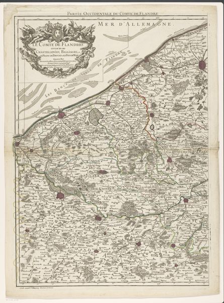
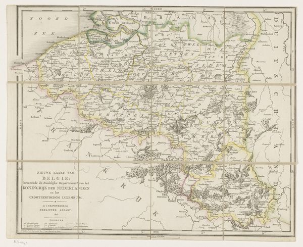
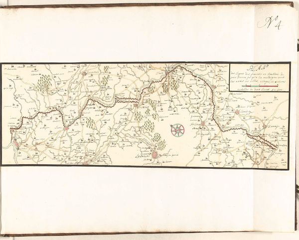
map drawing
# print
#
old engraving style
#
landscape
#
orientalism
#
engraving
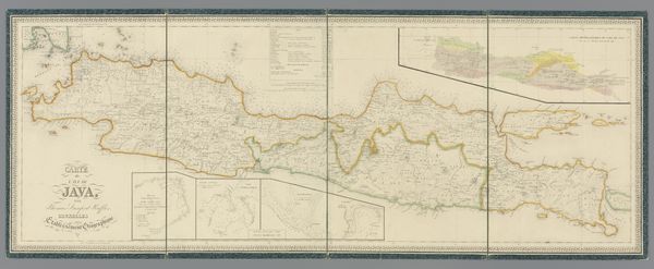
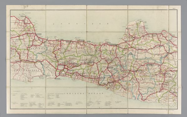
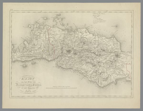
Dimensions: height 420 mm, width 1129 mm
Copyright: Rijks Museum: Open Domain
Curator: Looking at this image, I am struck by the level of detail and precision rendered in such a muted palette. It makes me wonder how Javanese society experienced this seemingly scientific project. Editor: Precisely. This is "Kaart van Java met vijf bijkaartjes," a map of Java with five secondary maps, crafted in 1817. It comes from the hand of Sir Thomas Stamford Raffles, known for his role in the British administration of Java during that period. It’s an engraving, isn't it interesting to think of Java and Orientalism intersecting in a project ostensibly for rational documentation? Curator: Indeed, the symbols employed—the meticulous lines designating borders, the stylized topographical features—are steeped in a visual language designed to categorize and contain. Notice how it renders landscapes in a way that emphasizes control and observation, reflecting an imperial gaze seeking to chart not just the land, but also power dynamics. Editor: Right, the landscape tradition present flattens Java, making it readable, exploitable. And we need to acknowledge how "accurate" maps like this one shaped narratives of the region, not just for Europeans but potentially also impacting indigenous understanding of their own space. The sub maps surrounding the island feel a bit like an attempt to assert comprehensive understanding. Curator: Precisely, these additional maps act like secondary emblems. They amplify the primary image, underscoring the engraver's desire to fully represent and thus conceptually master this complex region. They become totems of understanding and tools of cultural translation—or, perhaps more accurately, transmutation. The inclusion of very Western-seeming visual strategies serves to diminish local artistic sensibilities. Editor: You're right, and one can consider how that "mastery" interacts with the socio-political climate. It's a potent reminder that maps aren't neutral tools; they’re reflections of power structures, literally inscribing colonial ambitions onto the landscape. These maps helped materialize colonial imaginaries, providing concrete direction for control and exploitation. I see continuity with our contemporary GPS based on surveillance, categorization and division. Curator: Absolutely, the lasting impression of this seemingly innocuous cartographical effort is a somber recognition of how deeply embedded imperial ambitions are in the very tools we use to understand the world. Editor: Indeed. It asks us to confront the legacy of those ambitions whenever we encounter the supposedly objective clarity of a map.
Comments
No comments
Be the first to comment and join the conversation on the ultimate creative platform.
More like this