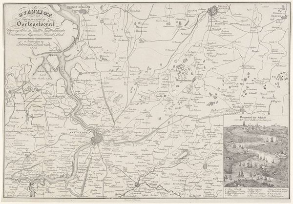
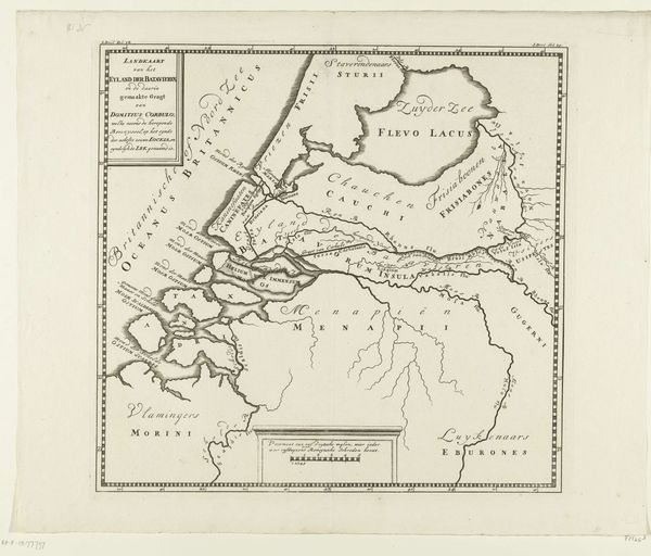
print, engraving
# print
#
old engraving style
#
geometric
#
history-painting
#
engraving
Dimensions: height 484 mm, width 571 mm
Copyright: Rijks Museum: Open Domain
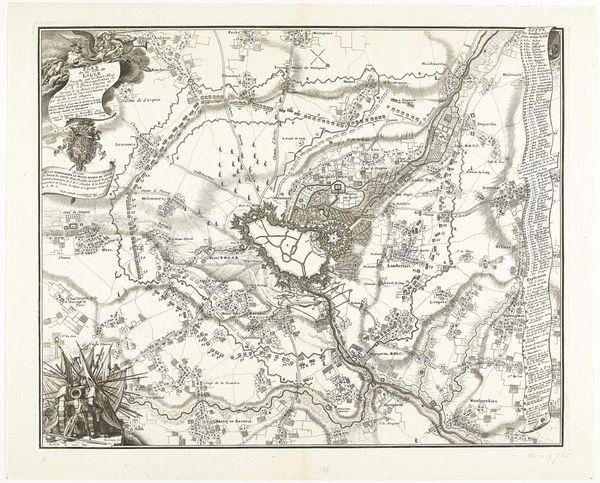
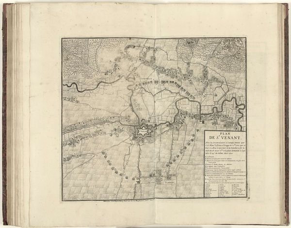
This is an anonymous map of the area between Aire and Saint-Venant, created in 1710. It offers us a glimpse into the geopolitical landscape shaped by the conflicts of the early 18th century, when the land was under siege by the Allied forces. Cartography has historically been an instrument of power, defining territories and asserting control. This map is no exception. Note how it meticulously charts not only geographical features but also political divisions, reflecting a world where land and resources were contested. The map also underscores the intertwined relationship between military strategy and territorial claims. It is a visual representation of a specific moment in time, laden with the tensions and ambitions of the warring parties. Consider, too, how the act of mapping itself embodies a certain gaze, one that seeks to order and classify space according to human interests. It prompts us to question whose perspectives are privileged in these representations, and whose are marginalized or erased. As you consider this work, think about the personal and emotional dimensions of living in a region constantly reshaped by conflict and political maneuvering.
Comments
No comments
Be the first to comment and join the conversation on the ultimate creative platform.
More like this