Dimensions: height 206 mm, width 307 mm
Copyright: Rijks Museum: Open Domain
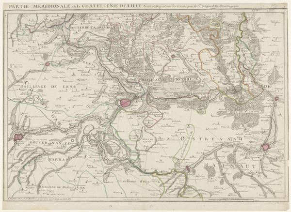
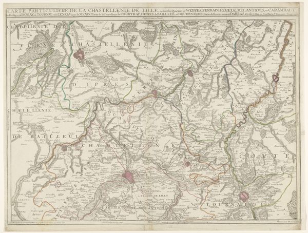
P. Mol created this map in 1787 charting the routes of Prussian troops marching towards Amsterdam. This historical artifact isn't just about geography, it is a political statement. The map offers a window into the fraught political landscape of the Dutch Republic in the late 18th century. It reflects the power struggles between different factions, most notably the Patriots, who sought democratic reforms, and the Orangists, who supported the rule of the Stadtholder, Prince William V. The Prussian military intervention, ostensibly to restore order, underscores the gendered dynamics of power, with Princess Wilhelmina of Prussia, William V's wife, playing a key role in instigating the intervention after being detained by Patriot forces. The lines across the landscape aren't just routes; they're lines of power and control. They speak volumes about the exercise of authority and the suppression of local autonomy. As we look at this map, let's consider how these historical power dynamics continue to resonate today in discussions about sovereignty and intervention.
Comments
No comments
Be the first to comment and join the conversation on the ultimate creative platform.
More like this