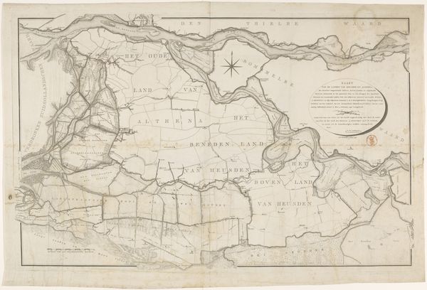
Figurative Kaart, dienende ter aanwijzing van de voornaamste dijkbreuken enz: langs de Rivieren; voorgevallen in Louwmaand MDCCCIX 1809
0:00
0:00
antonizurcher
Rijksmuseum
drawing, print, ink, engraving
#
pen and ink
#
architectural sketch
#
drawing
#
neoclassicism
# print
#
pen illustration
#
landscape
#
ink
#
sketchwork
#
pen work
#
engraving
Dimensions: height 490 mm, width 920 mm
Copyright: Rijks Museum: Open Domain
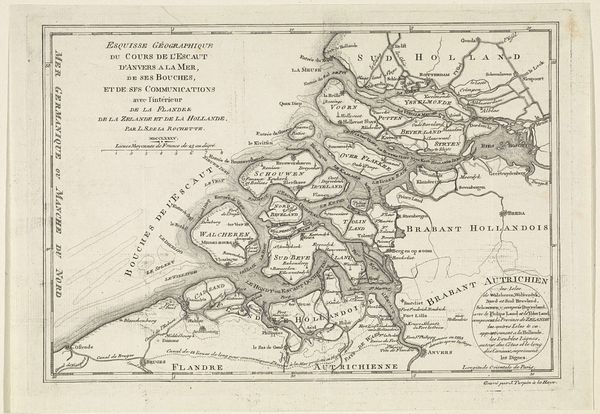
This is a map made by Antoni Zürcher, illustrating the breaches along the rivers that occurred in January 1809, now held at the Rijksmuseum. The map offers more than just geographical data, it tells a story of vulnerability and resilience in the face of natural disaster. Produced during a period of Dutch history marked by political upheaval under Napoleonic rule, this map underscores the precarious relationship between the people and their environment. It plots the physical impact of the flood, while functioning as a visual testament to the disruption of everyday life. The detailed markings of the dike breaches invite us to consider the socio-economic consequences and human cost of these disasters. While seemingly technical, the map evokes an emotional understanding of loss and displacement. It reminds us of the ever-present tension between human ambition and the forces of nature, and to reflect on how communities rebuild in the aftermath.
Comments
No comments
Be the first to comment and join the conversation on the ultimate creative platform.
More like this