graphic-art, print
#
graphic-art
#
aged paper
#
book binding
#
homemade paper
#
paper non-digital material
# print
#
sketch book
#
landscape
#
personal sketchbook
#
sketchwork
#
geometric
#
orientalism
#
storyboard and sketchbook work
#
sketchbook art
#
design on paper
Dimensions: height 455 mm, width 1170 mm
Copyright: Rijks Museum: Open Domain
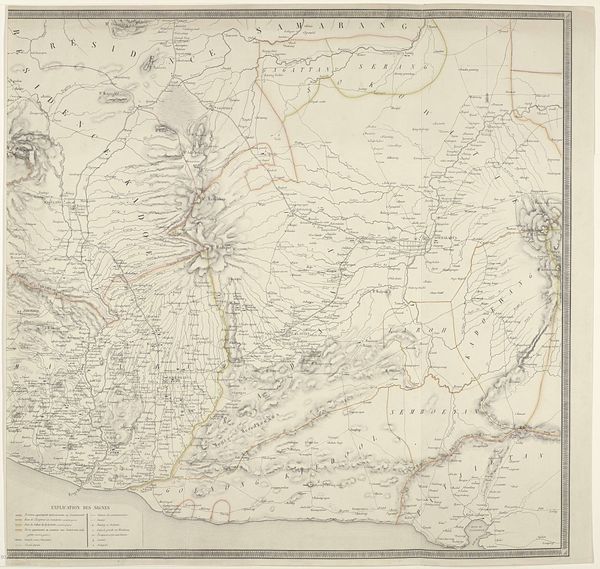
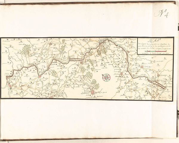
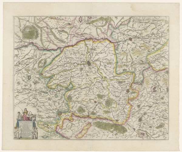
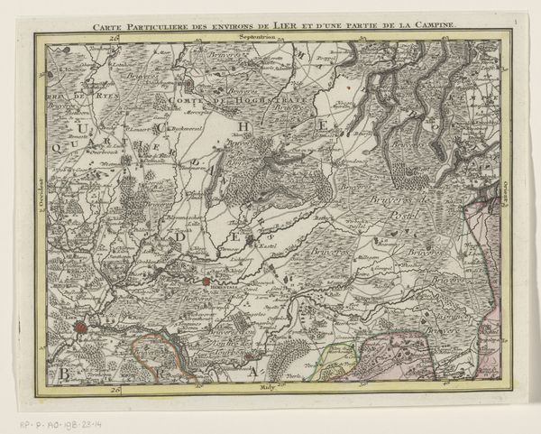
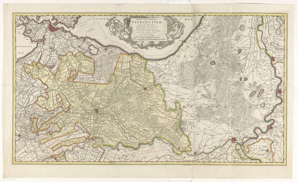
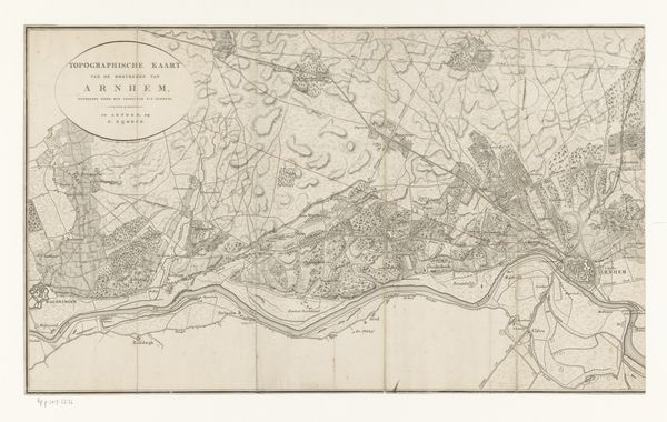
This is an anonymous map of Java, its date unknown, but rich in cartographic symbols. Consider the island itself, a landform depicted with precision, yet it is also an allegorical figure. Like a body, it possesses contours, and a distinctive shape laden with meaning. This echoes the ancient Greek concept of 'mappa mundi,' where land wasn't just terrain but a stage for human drama. Maps, since antiquity, are a blend of science and myth. Think of Ptolemy's world map, influencing medieval minds. Or the 'T and O' maps, with Jerusalem at their heart, reflecting a spiritual geography. Here, Java is not just a place but a testament to human understanding. The act of mapping is a quest for order and understanding. We see our world through the lens of cartography, our perception shaped by symbols that resonate with our collective memory. It's the human psyche projecting onto the earth, a dance of exploration and representation. These lines and symbols evoke a deep, almost subconscious response.
Comments
No comments
Be the first to comment and join the conversation on the ultimate creative platform.
