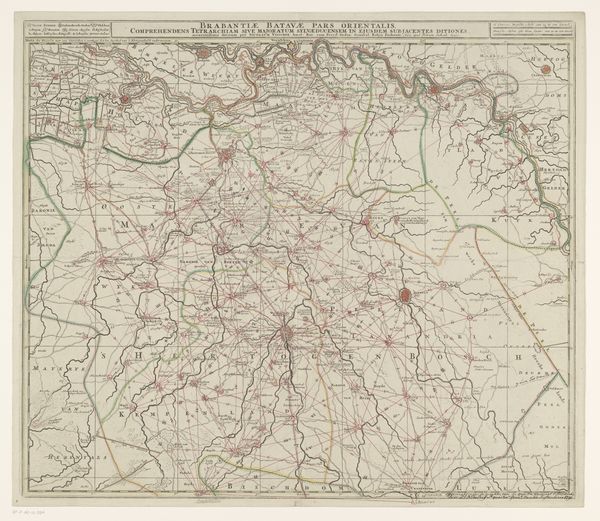
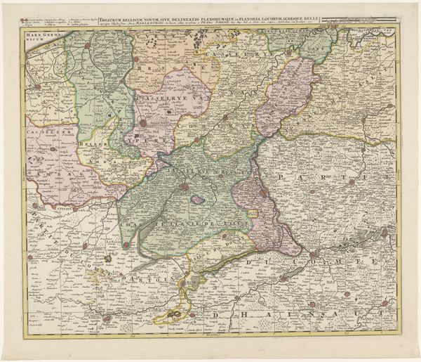
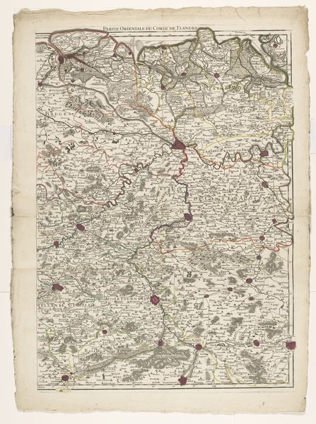
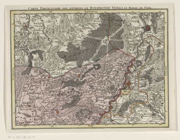
print, engraving
#
baroque
# print
#
landscape
#
cityscape
#
engraving
Dimensions: height 528 mm, width 715 mm
Copyright: Rijks Museum: Open Domain
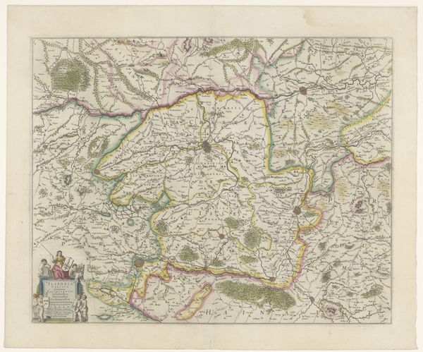
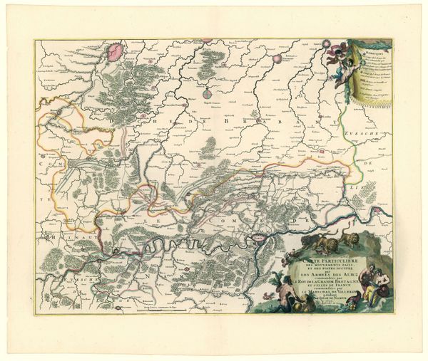
Editor: This is an engraved map from 1743, titled "Kaart van Frans-Vlaanderen" or "Map of French Flanders", created by Harmanus van Loon. It’s incredibly detailed, and it feels…almost dreamlike in its rendering of the landscape. What do you make of it? Curator: It whispers stories, doesn’t it? Imagine those roads teeming with horse-drawn carts, each town a universe unto itself. The Baroque loved grandeur and intricacy. Maps back then weren’t just about navigation, they were statements. This one seems to say, “Look at the abundance, the order, the *power* we wield over this land!” Editor: So, it’s a political statement as much as it is geographical? Curator: Precisely! Notice the delicate, almost feathery quality of the engraving? Van Loon's artistry elevates a simple document into something visually seductive. It invites you in, then reminds you of who’s in charge through carefully placed titles. Does the way the forests are depicted remind you of something? Editor: They almost look like fluffy clouds dotting the landscape. Kind of softens the hard edges, doesn’t it? Curator: A bit of fantasy nestled into practicality, perhaps? And those winding rivers! A lovely silver ribbon uniting all under, again, a kind hand, but one also ready to tax those barges! I see beauty here, but also a veiled hand on scales and coins. A soft cage is still a cage! Editor: I never would've considered that, but that’s a great point about maps and power. It makes you wonder who exactly this map was for, doesn't it? It definitely puts a new spin on landscape art for me. Curator: Absolutely. And the beauty is… a map can mean so many different things, to different hands. Keep questioning everything!
Comments
No comments
Be the first to comment and join the conversation on the ultimate creative platform.
More like this