Dimensions: height 489 mm, width 623 mm
Copyright: Rijks Museum: Open Domain
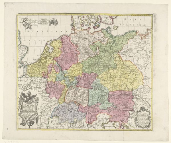
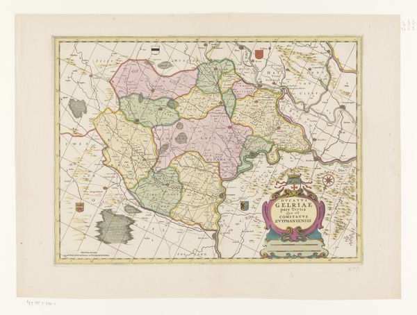
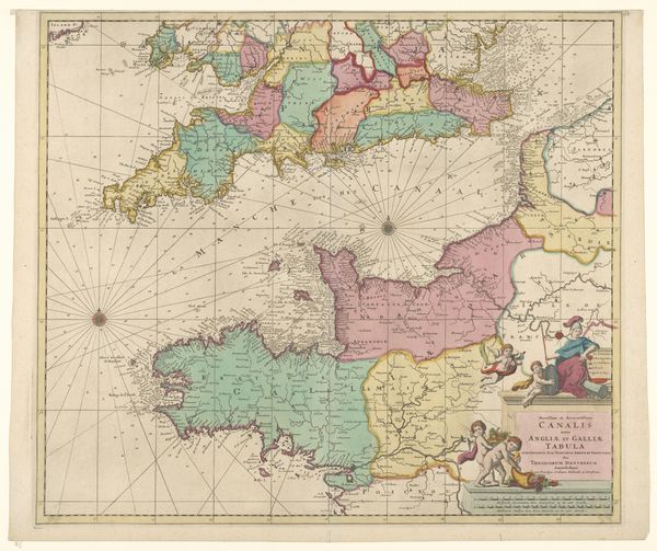
Editor: This is "Kaart van Duitsland," a map of Germany, created by Matthaeus Seutter sometime between 1757 and 1777. It’s an engraving, so a print, and quite decorative, but I wonder… how do we even begin to interpret a map as a work of art? What do you see in this piece? Curator: This isn't just a neutral depiction of geographical space; it’s a carefully constructed representation laden with political meaning. Maps like this served to define and solidify power. Who decided the boundaries, and for whose benefit? Editor: So, you're saying the way Germany is divided up on this map isn’t necessarily “factual,” but represents a specific political perspective? Curator: Precisely. Consider the time it was made – a period of immense fragmentation in the Holy Roman Empire. The varying colors highlight that division, but they also raise questions: who controlled the narrative and who was left out of the picture? Think about how cartography was used as a tool for colonialism, defining territories for exploitation. Can we draw parallels here? Editor: That's interesting. So, the very act of mapping isn't objective; it's an act of asserting control, right? And even the decorative elements... Curator: They contribute to the overall message. Are they celebrating a unified nation, or obscuring internal conflicts? Maps weren't simply for navigation; they shaped understanding, influenced policy, and even justified domination. What stories do you think this map tells about identity and belonging in 18th-century Germany? Editor: I hadn't considered it that way. I guess I assumed maps were… neutral. I see now how much power dynamics are at play. It's less about geography and more about the politics of space. Curator: Exactly. By examining these historical maps, we gain insight into the social construction of territory and the enduring legacy of power relations. Editor: That makes me want to explore maps in art more, but now armed with these questions about identity and power. Curator: Wonderful. Let's look closer at how maps are intertwined with concepts of nationalism.
Comments
No comments
Be the first to comment and join the conversation on the ultimate creative platform.
More like this