print, engraving
#
neoclacissism
# print
#
history-painting
#
engraving
Dimensions: height 265 mm, width 275 mm
Copyright: Rijks Museum: Open Domain
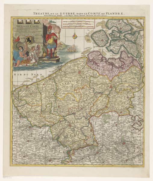
Cornelis van Baarsel created this map of the Netherlands in 1792, detailing the French army's march routes. The compass rose, prominently placed, is more than a navigational tool; it is a symbol deeply rooted in the human psyche. The compass rose evokes a sense of orientation, a guiding star in the face of uncertainty, much like the ancient mariners who looked to the stars. Yet, its presence here juxtaposes the chaos and disruption inherent in the French invasion. The compass rose reminds us of humanity's eternal quest for direction, a quest that transcends time and place. Like the "imago" in the collective memory, it is a symbol that resurfaces, evolves, and takes on new meanings in different historical contexts. The map is an attempt to make sense of conflict, a navigation through turbulent times, a poignant reminder of the cyclical nature of history.
Comments
No comments
Be the first to comment and join the conversation on the ultimate creative platform.
More like this