print, paper, engraving
#
ink paper printed
# print
#
paper
#
geometric
#
history-painting
#
decorative-art
#
engraving
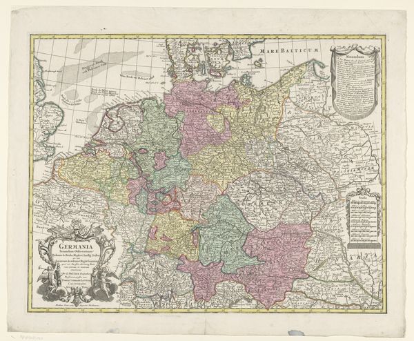
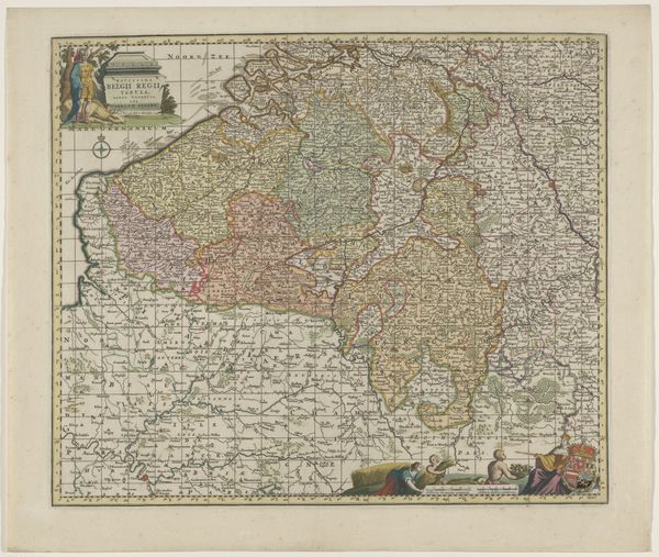
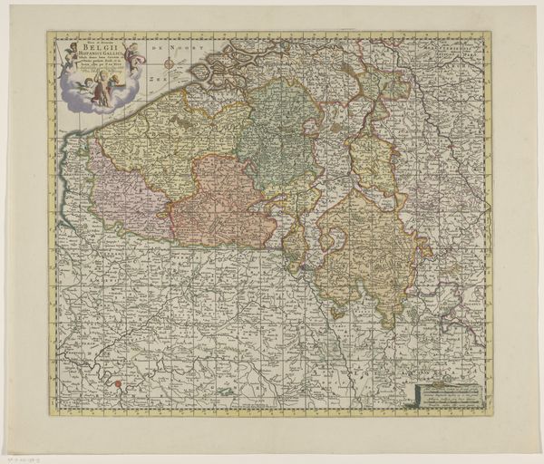
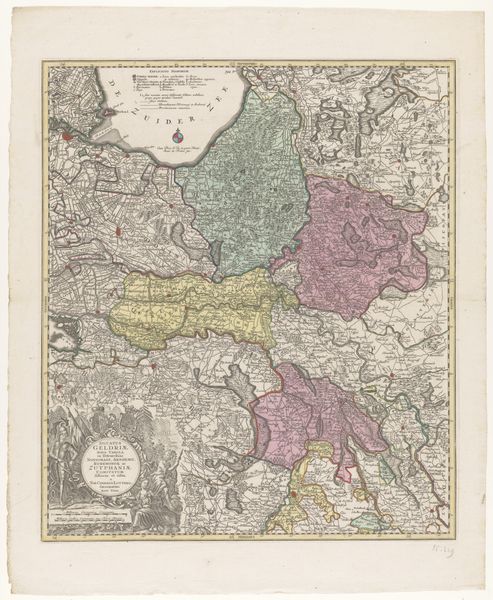
Dimensions: height 479 mm, width 559 mm
Copyright: Rijks Museum: Open Domain
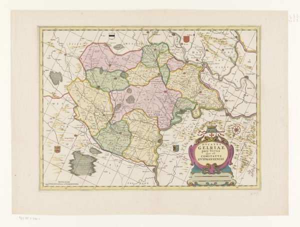
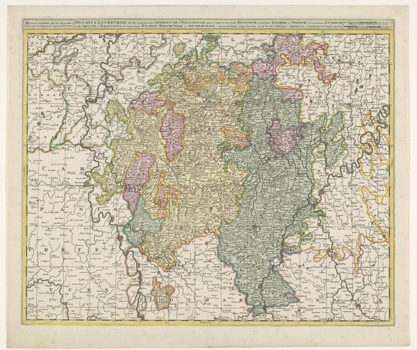
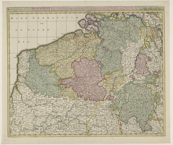
This is a map of Germany, made by an anonymous artist. The first impression is of a patchwork, with various states rendered in distinct colors. It’s not just a visual aid but a statement about the fragmented nature of the German territories at the time. Note how color is used not only for distinction but also to create visual groupings, suggesting alliances or cultural affinities. The lines defining borders are sharp and decisive. Yet, the washes of color bleed slightly, indicating the fluid, permeable nature of political boundaries. Semiotically, these colors and lines function as signs, encoding a complex web of political and cultural meanings. The map challenges the notion of a unified "Germany," highlighting the many divisions within it. By presenting Germany as a collection of separate entities, the map destabilizes the idea of a singular national identity. The tension between the sharp lines and bleeding colors embodies the struggle between defined structures and fluid realities. The map encourages us to see beyond the surface and question the very idea of fixed identity and borders.
Comments
No comments
Be the first to comment and join the conversation on the ultimate creative platform.
More like this