drawing, print, ink, engraving
#
drawing
#
baroque
# print
#
ink
#
geometric
#
pen work
#
history-painting
#
engraving
#
regionalism
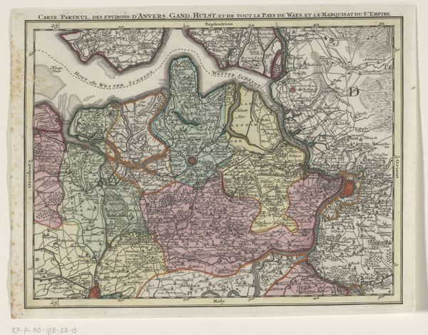
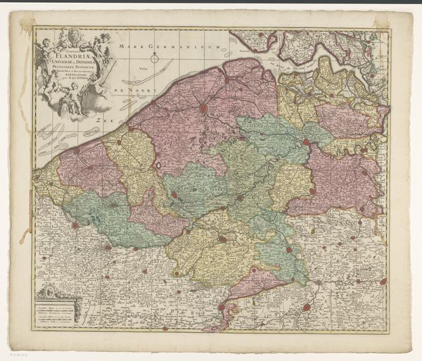
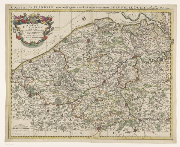
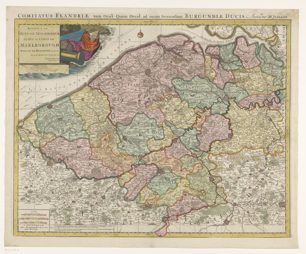
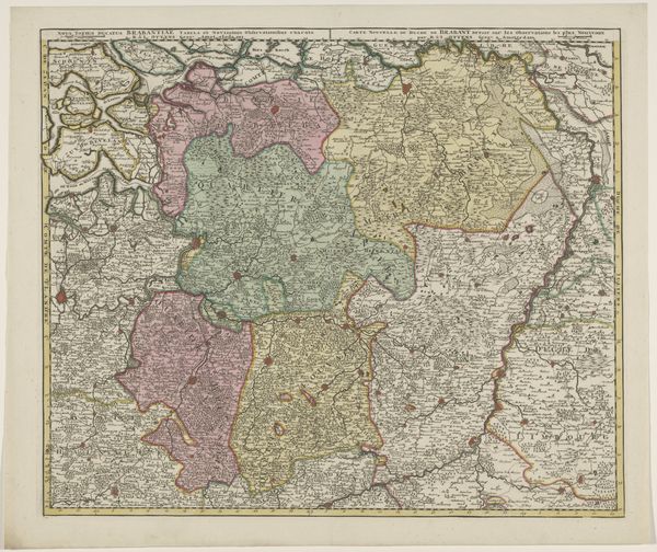
Dimensions: height 516 mm, width 965 mm
Copyright: Rijks Museum: Open Domain
Curator: This is a map of the Southern Netherlands, created around 1701 to 1702. It’s rendered with ink, and the printmaking includes both drawing and engraving techniques. Editor: Immediately, I'm struck by the composition, it is not just a rendering of geographical data; the linework exhibits a certain level of precision and care for aesthetics, but there are noticeable perspective discrepancies. Curator: Precisely, this piece exists as more than simple geography. Considering the period, cartography served distinct political ends. Notice the emphasized borders; they signify not only territorial boundaries, but the social and political fissures of the time, defining areas impacted by constant war, control, and reformation of land. Editor: The visual organization reinforces that interpretation. We can see a semiotic layering. The differing line weights, textures of shading, color blocks, and the font size all contribute meaning—distinguishing land features from political demarcations. The map becomes an act of structuring the land and laying a framework over it. Curator: It certainly is. The context is everything. Think about the power dynamics implicit in mapping: claiming territory, defining identity. This map was not just a neutral representation; it shaped perceptions and validated claims. One could even apply postcolonial theories and argue that the history it displays is deeply embedded in historical power struggles. Editor: Do you see how the arrangement subtly establishes hierarchy by scale, positioning, and differentiation, almost as if each border implies the area within has unique importance and a different quality? The formal decisions bolster geopolitical agendas. Curator: Absolutely. And when viewing today, in a museum space like the Rijksmuseum, this map transforms from a practical instrument into a historical object, encouraging the viewer to reflect on not only past power configurations, but our relationship to place and control today. Editor: Analyzing its form, it prompts us to rethink how seemingly objective structures can contain inherent biases—the encoding of intent through visual form. Curator: It provides a potent visualization of constructed space and identities, a snapshot into a particular historical moment and an invitation to reconsider contemporary geopolitical structures. Editor: Indeed, studying this reveals that maps, whether literally or figuratively, still define how we think about the world.
Comments
No comments
Be the first to comment and join the conversation on the ultimate creative platform.
More like this