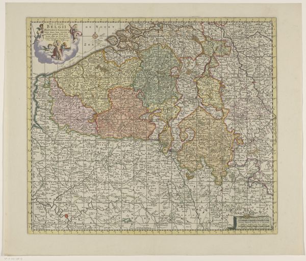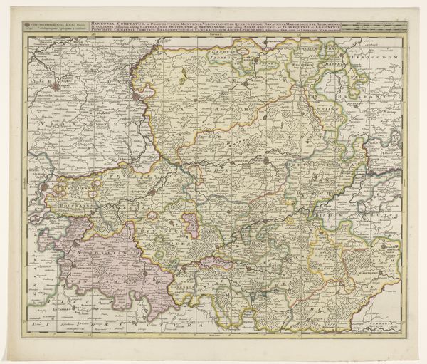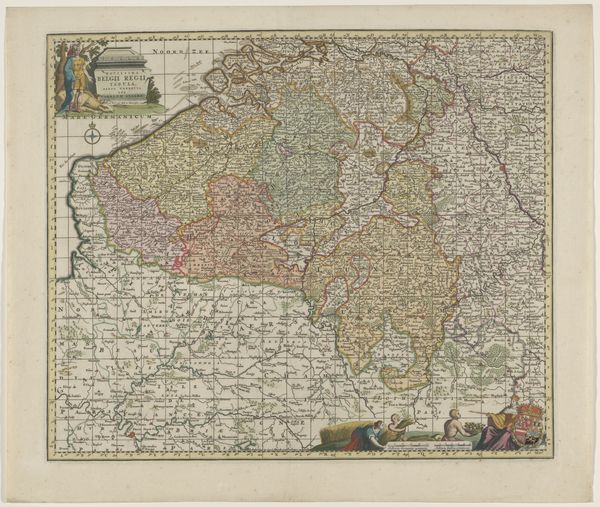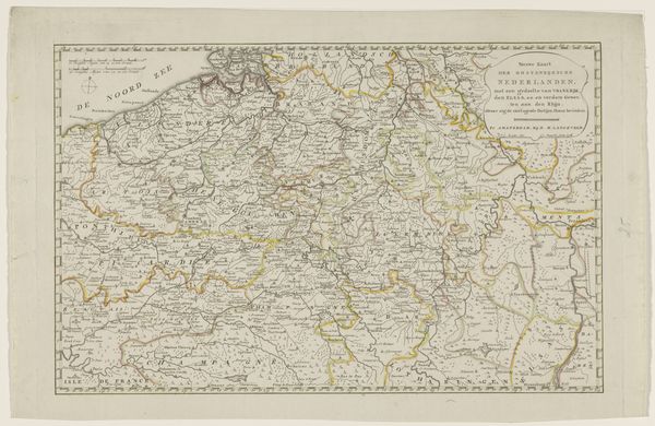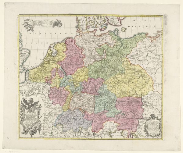
1689 - 1719
Kaart van de Zuidelijke Nederlanden en omliggende landen
Anonymous
@anonymousLocation
RijksmuseumListen to curator's interpretation
Curatorial notes
This map of the Southern Netherlands and surrounding countries was created by an anonymous artist using printing techniques. Its dominant visual experience is one of meticulous detail and structured complexity, where each element is carefully organized to convey geographical and political information. Note how lines and colors delineate territories, waterways, and settlements. The map's composition is not merely representational but rather a construction of space and power. Cartography serves as a semiotic system, where symbols and codes intersect to produce specific meanings. The map challenges fixed meanings and invites viewers to engage with new ways of thinking about space, perception, and political representation. Observe the formal quality of the map’s detailed rendering, where geographical features are stylized and classified. This functions not just aesthetically, but also as part of a larger cultural and philosophical discourse. The map is a site of ongoing interpretation and re-interpretation.