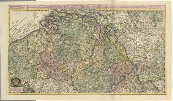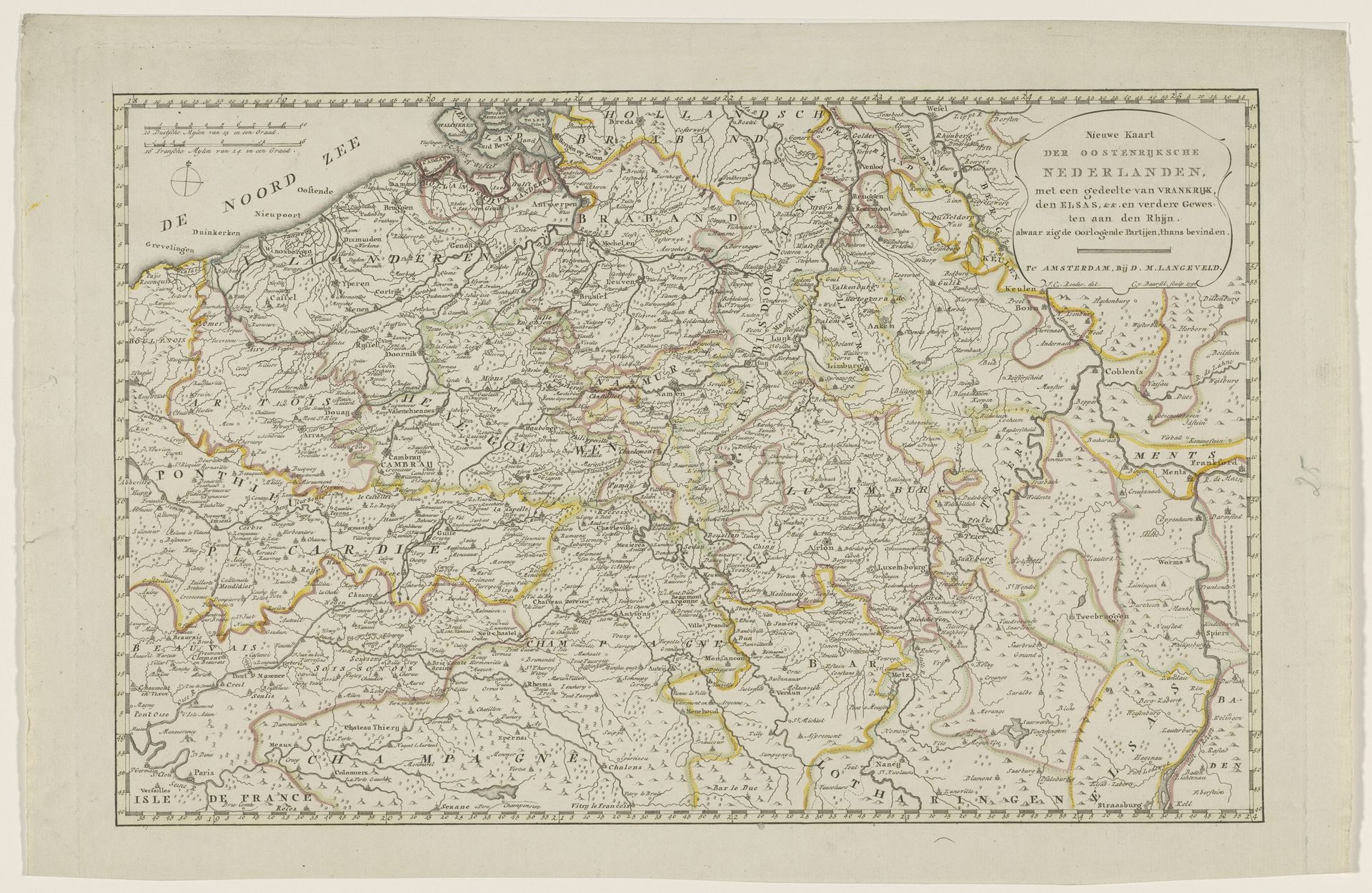
1792
Kaart van de Oostenrijkse Nederlanden, 1792
Listen to curator's interpretation
Curatorial notes
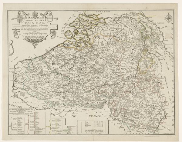
Cornelis van Baarsel created this map of the Austrian Netherlands in 1792 using engraving. The dominant visual experience of this piece resides in its intricate composition, where geographical precision meets artistic expression. The map presents a dense network of lines, forming borders, rivers, and roads, and it delineates territories through subtle shifts in shading and color. The topography is rendered with delicate hatching, giving a sense of depth to the landscape, while carefully chosen typefaces denote cities, towns, and regions. The map is not merely a tool for navigation, but also an assertion of power and knowledge. Each carefully placed line and label serves to define and control space, reflecting the complex political landscape of the late 18th century. The act of mapping itself is an act of ordering the world, imposing a structure onto the messy reality of human geography. Consider how the seemingly objective representation of space is always imbued with subjective choices and cultural values.