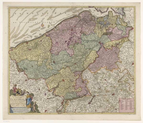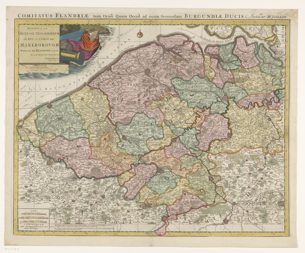
1678 - 1719
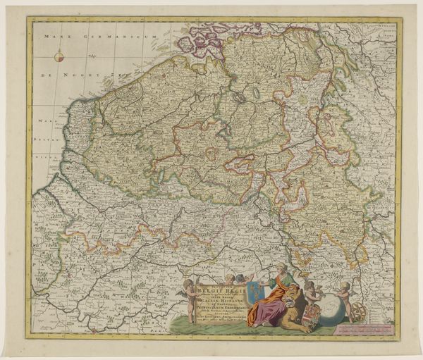
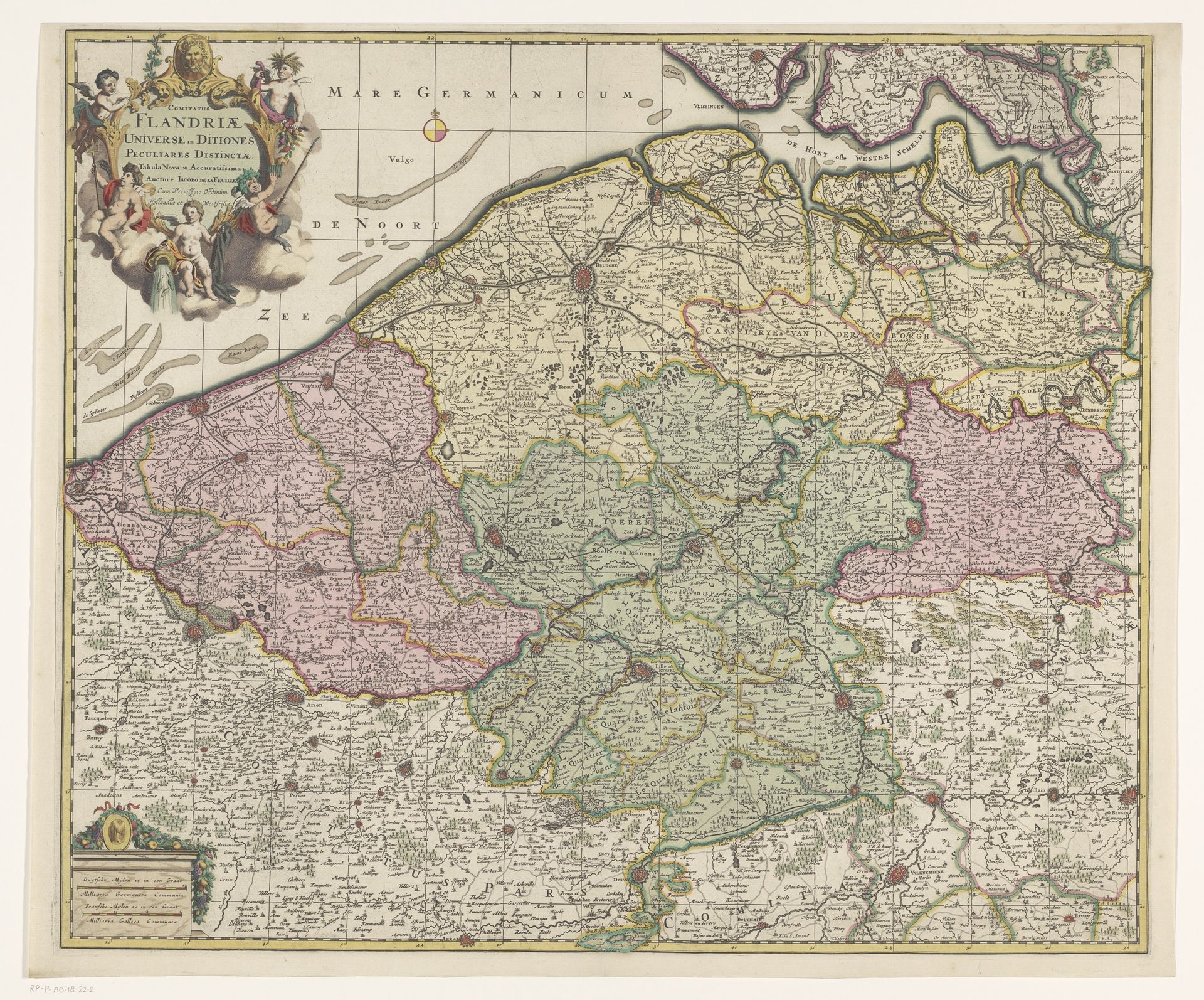
Kaart van het graafschap Vlaanderen
Listen to curator's interpretation
Curatorial notes
Curator: Let's consider "Kaart van het graafschap Vlaanderen," made anonymously sometime between 1678 and 1719. It's an engraved print, a landscape, a map really. What strikes you about it? Editor: It's incredibly detailed. I’m amazed by how much information they packed into this map using engraving. What do you make of its material existence? Curator: Well, consider the materiality of the engraving process itself. Copperplate engraving demanded a highly skilled artisan. The economic realities are baked in, aren’t they? Access to copper, the engraver’s skill – these dictated the production. This wasn't some mass-produced woodcut; it was a specialized, relatively costly endeavor, impacting its availability and, therefore, its consumption by specific social classes. Editor: So, it was made for a particular audience? Who would have consumed a map like this? Curator: Absolutely. It served not only as a geographical reference but also as a marker of status. Owning such a detailed and carefully produced map signified wealth, education, and involvement in trade or governance. Imagine the labour invested. How many hours went into etching each individual mark? It shows the societal structure inherent in its making. Editor: That's fascinating, to consider the social context of the materials. Were prints such as these widely available? Curator: Availability would have been restricted, of course. Prints would have been circulated among the wealthier, often for administrative or scholarly study. Editor: Looking at it now, it feels removed from our digitally saturated world, like a handmade object imbued with value through the sheer labor involved. I find that moving. Curator: And what does that say about the function of such images today, far removed from their origins as guides for travelers or displays of status? Thinking about material use can transform our viewing of historical images such as these. Editor: That's a great perspective. I hadn't considered the value imparted by the production process. Thank you!