c. 1666 - 1680
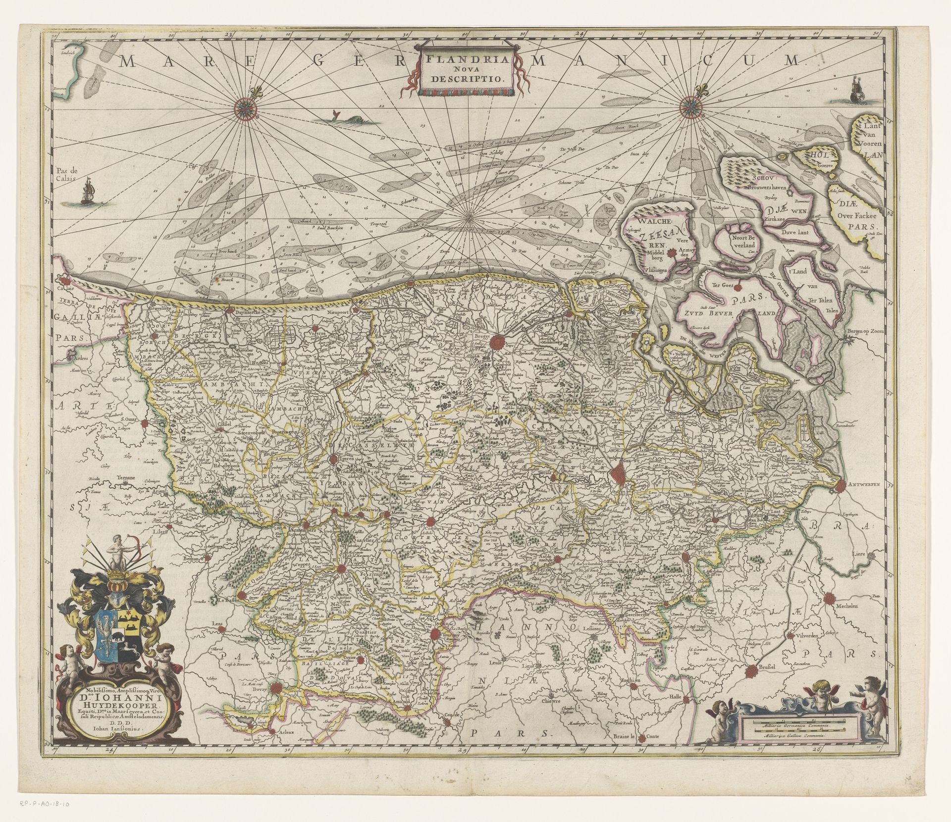
Kaart van Vlaanderen en Zeeland
Anonymous
@anonymousLocation
RijksmuseumListen to curator's interpretation
Curatorial notes
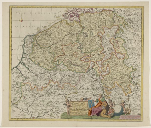
This is an anonymous map of Flanders and Zeeland, likely created in the Dutch Republic during the 17th century. Here we have more than just geographical data. Visual codes denote political power; note the elaborate coat of arms, signalling the authority of the mapmaker or dedicatee. The map presents Flanders and Zeeland not just as places, but as territories defined by—and perhaps contested through—cartographic representation. The Dutch Republic was then a global centre for cartography, driven by its maritime trade and colonial ambitions. Maps were tools of navigation, governance, and asserting territorial claims. This map, therefore, participates in the construction of early modern European identity and power. It reflects the intersection of science, commerce, and political ideology. Historians consult archives, period publications, and other maps to contextualize such works. We need to understand its production, circulation, and reception to appreciate the rich layers of meaning embedded in this seemingly straightforward depiction of land and sea.