1726 - 1750
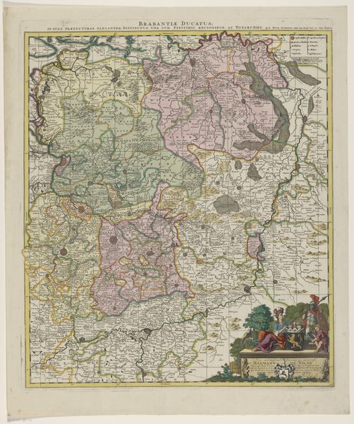
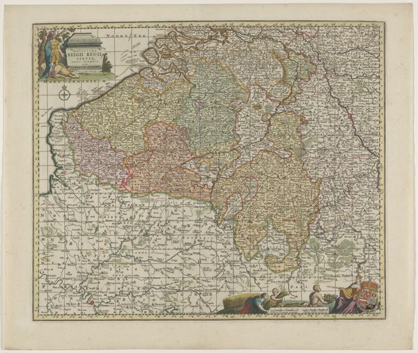
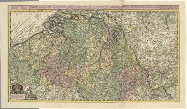
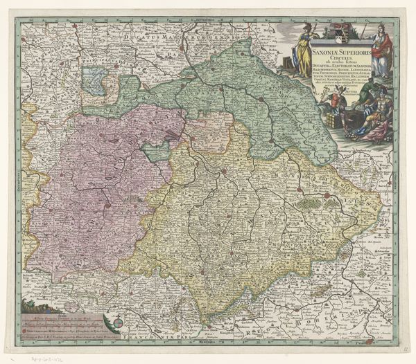
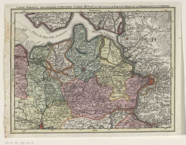
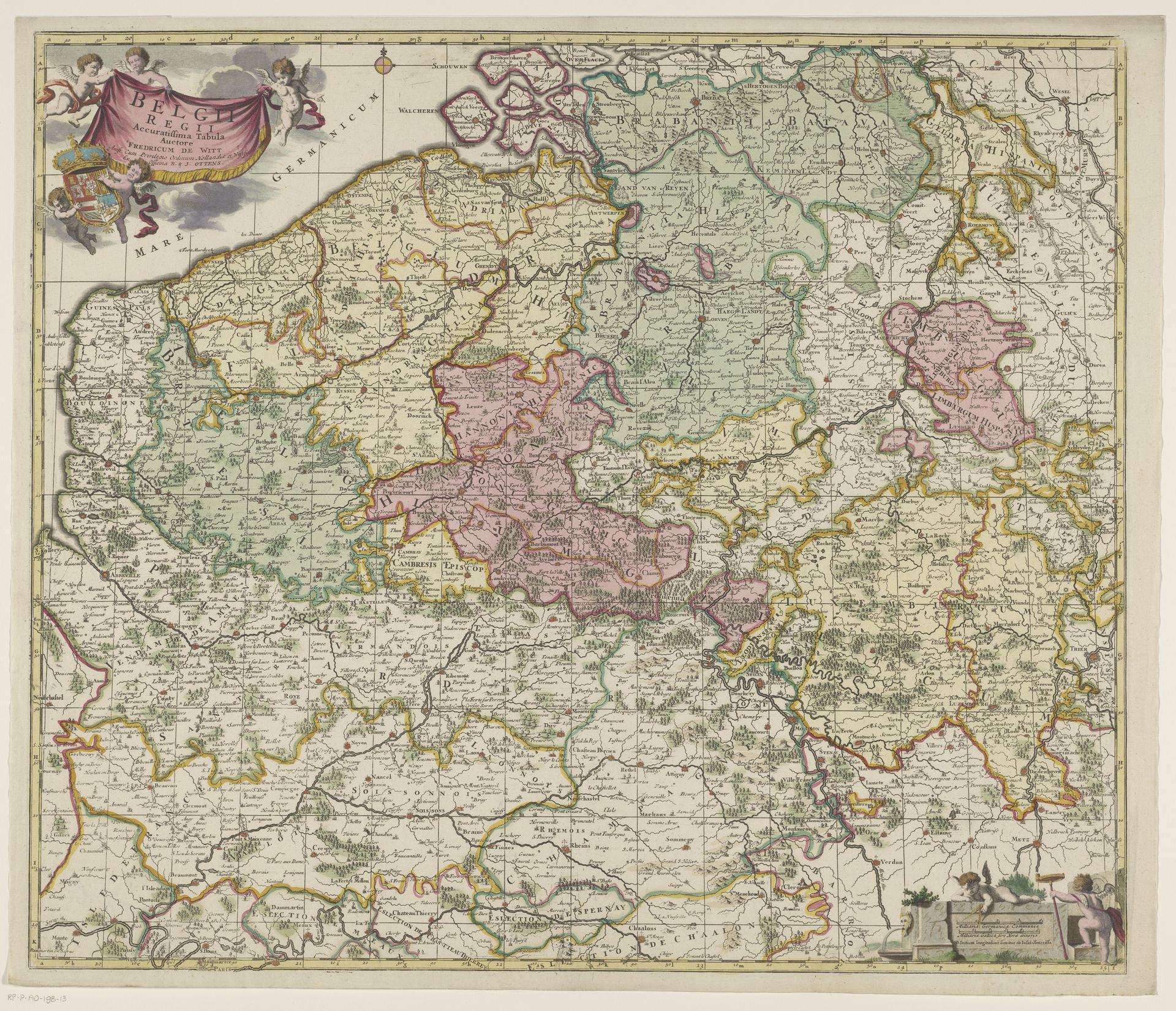
Kaart van de Zuidelijke Nederlanden
Frederik de Wit
1570 - 1710Location
RijksmuseumListen to curator's interpretation
Curatorial notes
Frederik de Wit produced this map of the Southern Netherlands. Maps like this one are never simply neutral documents. They visually encode political and social power. This example would have been made during the height of the Dutch Golden Age, a period of immense economic and cultural growth in the Netherlands but also one of territorial ambition. The map’s visual codes, such as the cherubic figures at the top, and the elaborate cartouche in the bottom right, convey not just geographical information, but also project a sense of Dutch authority and sophistication. What we now call Belgium was then the Southern Netherlands, controlled by Spain. So, in effect, this map stakes a claim. It suggests Dutch cultural and perhaps even political dominance over the region. Historical sources, like trade records, political pamphlets, and even other maps, help us understand the complex interplay of culture, power, and artistic expression in de Wit’s time. With them we can appreciate how cartography, like any art form, is deeply embedded in its social and institutional context.