graphic-art, print, engraving
#
treasure map
#
graphic-art
#
aged paper
#
page thumbnail
#
baroque
# print
#
tea stained
#
natural palette
#
engraving
#
watercolor
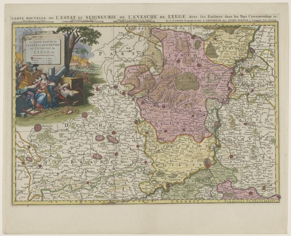
Dimensions: height 436 mm, width 608 mm
Copyright: Rijks Museum: Open Domain
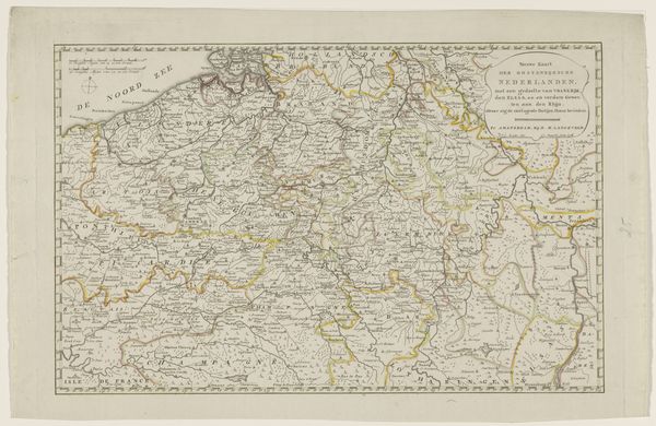
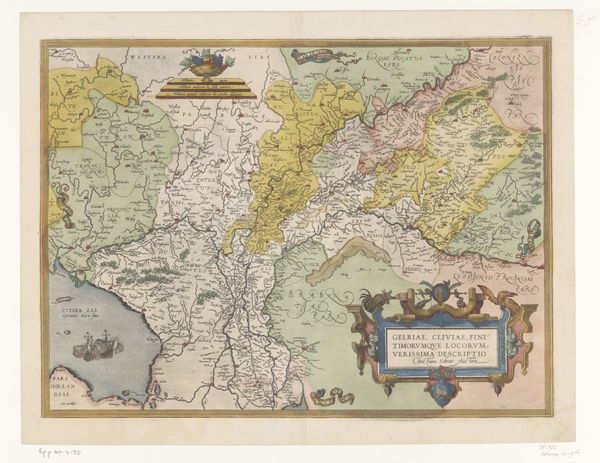
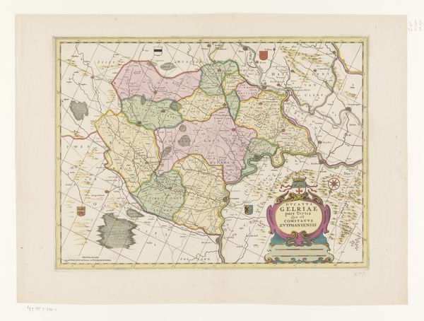
This map of the Prince-Bishopric of Liège was made by Laurens Scherm around 1700, using engraving on laid paper and then colored by hand. Engraving was a highly specialized process. The mapmaker would first incise the design into a metal plate, a labor-intensive task requiring immense skill and precision. The plate was then inked, and the image transferred to paper under great pressure. It was a printmaking method perfectly suited to rendering minute details, crucial for cartography. The hand-coloring, done afterwards, enlivens the representation, but also marks a division of labor. Maps like this one were not just geographical tools; they were instruments of power. They visually asserted territorial claims and legitimized political control. The act of mapping itself was a way of possessing land, turning it into an object of knowledge and, by extension, of governance. The very act of production—the skilled labor, the precise engraving, and the vibrant coloring—all contributed to this assertion of authority.
Comments
No comments
Be the first to comment and join the conversation on the ultimate creative platform.
More like this