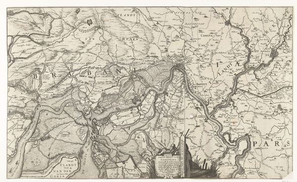
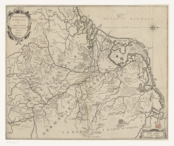
Kaart met buitenplaatsen en -huizen tussen Utrecht en Muiden 1719 - 1790
0:00
0:00
danielstopendaal
Rijksmuseum
drawing, print, paper, pen, engraving
#
drawing
#
baroque
# print
#
pen illustration
#
landscape
#
paper
#
pen
#
engraving
Dimensions: height 339 mm, width 174 mm
Copyright: Rijks Museum: Open Domain
Curator: Looking at this artwork by Daniël Stopendaal titled "Kaart met buitenplaatsen en -huizen tussen Utrecht en Muiden", created between 1719 and 1790, I'm struck by the intricate detail used to depict the landscape between those two cities. The map's fine lines and the almost obsessive detail of the waterways make it fascinating. Editor: Yes, an immediate sense of order and control comes through—not a chaotic world but one very deliberately laid out, almost like a stage set. All these country estates, so neatly rendered… it speaks of power and land ownership. Curator: Indeed. These cartographic choices are interesting. The emphasis is clearly on these estates, these buitens that lined the Vecht river. Their presence dominates the landscape, telling a story of wealth concentrated in this particular area. Editor: Precisely. What is absent is just as telling. Where are the common farmers, the everyday lives lived in this space? This isn't a map for them, is it? This artwork served, perhaps, as a status symbol, almost like a visual inventory for those in power. Curator: Certainly. The map meticulously catalogues those who wielded significant societal influence, reflecting not just geography, but a power structure. A drawing transformed into a printed engraving captures the symbols of prestige. Editor: It's fascinating how this careful selection and representation shaped the perception of the Dutch landscape for the elite of the time. They become stewards of this almost artificial domain of calm abundance. Curator: I think we’ve just about seen that what is revealed through lines and forms provides insight into the socio-cultural ethos of that era, where landscape equates to legacy. Editor: It shows the way even landscapes were molded and framed as narratives of control and belonging. It goes further than pure topography to tell us a bit about societal memory.
Comments
No comments
Be the first to comment and join the conversation on the ultimate creative platform.
More like this