drawing, print, ink, pen, engraving
#
drawing
#
pen drawing
# print
#
pen illustration
#
pen sketch
#
landscape
#
ink
#
geometric
#
line
#
pen
#
cityscape
#
engraving
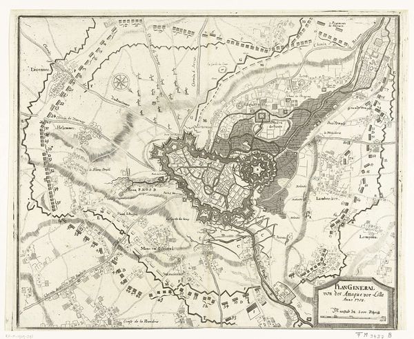
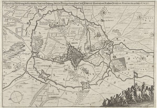
Dimensions: height 466 mm, width 583 mm
Copyright: Rijks Museum: Open Domain
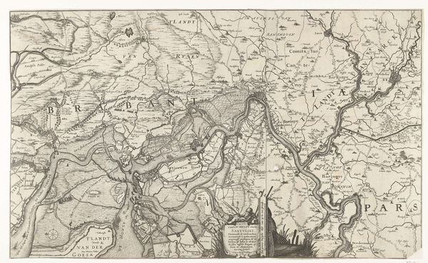
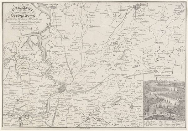
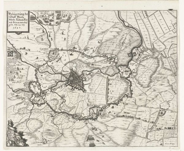
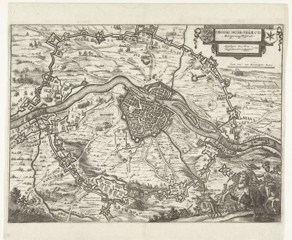
Jacobus Harrewijn created this detailed map of the siege of Lille in 1708 using etching. Notice how the dense network of lines creates a complex, almost hypnotic visual texture. This isn't just a straightforward representation; the artist uses line and form to convey strategic information and a sense of dramatic tension. Look closely at how Harrewijn employs different densities of lines to distinguish between land, fortifications, and water. The varying line weights and cross-hatching techniques give depth to the terrain. This suggests a meticulous process of observation, transformed into a codified visual language. The map operates as a semiotic system, where each mark is a signifier loaded with specific meaning. The structural organization of space here isn't merely descriptive, but actively constructs a narrative of power, control, and military strategy. The precision and intricacy of the etched lines invite us to consider how the physical act of mark-making can transform objective data into a subjective interpretation of space and conflict. The map is not just a document but a cultural artifact that reflects contemporary attitudes towards war, territory, and knowledge itself.
Comments
No comments
Be the first to comment and join the conversation on the ultimate creative platform.
More like this