drawing, print, paper, ink
#
drawing
# print
#
pen illustration
#
old engraving style
#
landscape
#
paper
#
ink line art
#
linework heavy
#
ink
#
line
#
cityscape
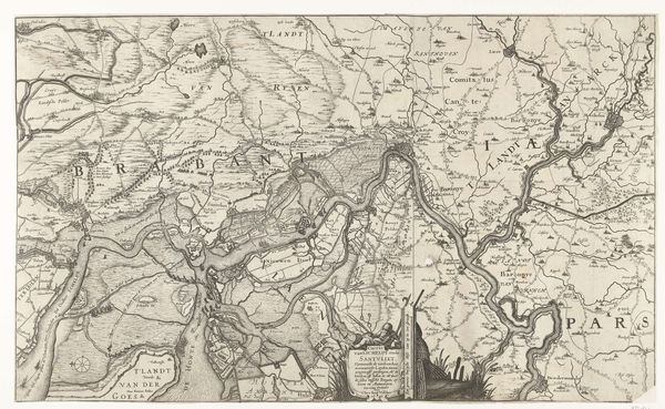
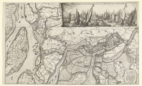
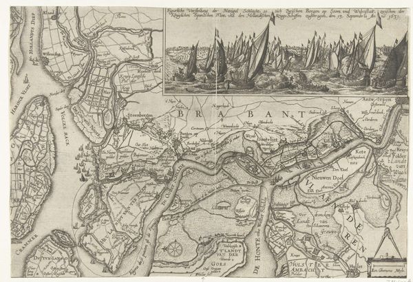
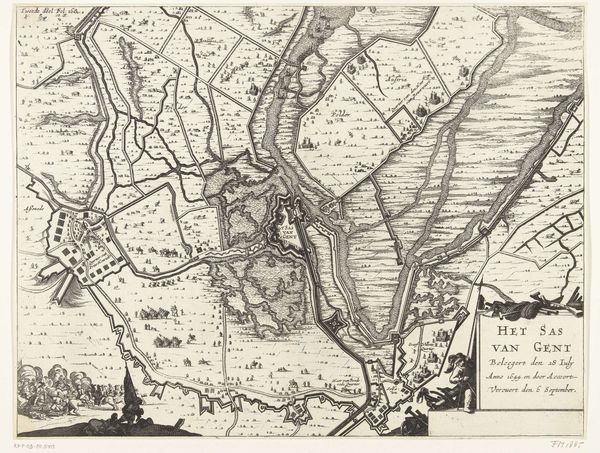
Dimensions: height 280 mm, width 400 mm
Copyright: Rijks Museum: Open Domain
Morris Jacob Dessaur created this map of the war zone in 1832-1833. The lithograph’s neutral palette gives a sense of austere distance, while the detailed lines pull us into a world being documented with a scientist's precision. The composition balances the geographical sprawl with a sense of order. Dessaur uses lines and shapes to represent waterways, roads, and fortifications. The stark juxtaposition of open spaces and densely marked areas perhaps mirrors the contrast between the natural landscape and human impact. Below, the inclusion of a cityscape reminds us of the human element, set against the backdrop of strategic military planning. This map functions as more than a geographical tool; it presents a discourse on power, control, and representation. The map invites us to consider how the act of mapping itself can shape our understanding of conflict.
Comments
No comments
Be the first to comment and join the conversation on the ultimate creative platform.
More like this