print, engraving
# print
#
old engraving style
#
landscape
#
engraving
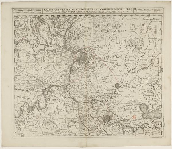
Dimensions: height 666 mm, width 932 mm
Copyright: Rijks Museum: Open Domain
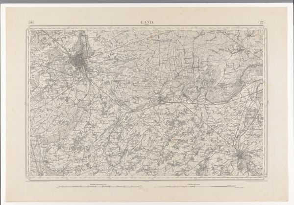
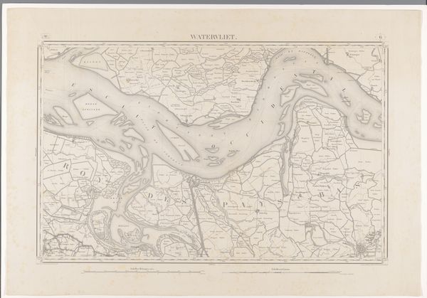
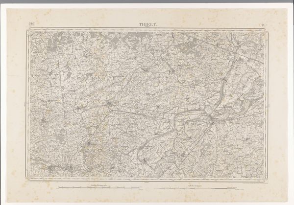
This map of the western part of Noord-Brabant was made by various makers using ink on paper. Cartography is often thought of as purely informational, but maps are also beautiful objects, full of information about the social context of their making. This particular map is a detailed record of the area’s geography, with carefully inscribed lines defining waterways, borders, and settlements. Note the fineness of the lines, achieved through etching or engraving; painstaking work involving focused labor, a steady hand and a trained eye. Maps like these aren’t neutral; they reflect the priorities and power structures of their time. Who commissioned this map, and what purpose did it serve? Was it used for administrative, military, or commercial purposes? By looking closely, we can appreciate how cartography blends technical skill, artistic expression, and historical context. This challenges conventional divisions between art, craft, and document.
Comments
No comments
Be the first to comment and join the conversation on the ultimate creative platform.
More like this