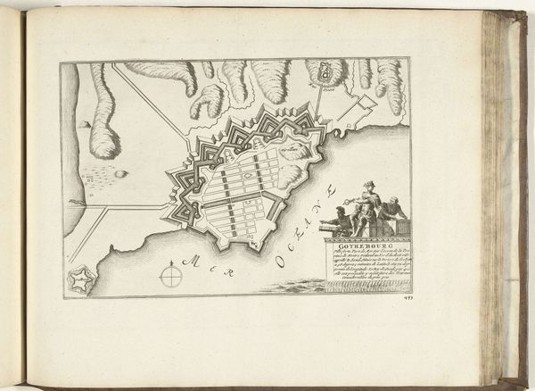
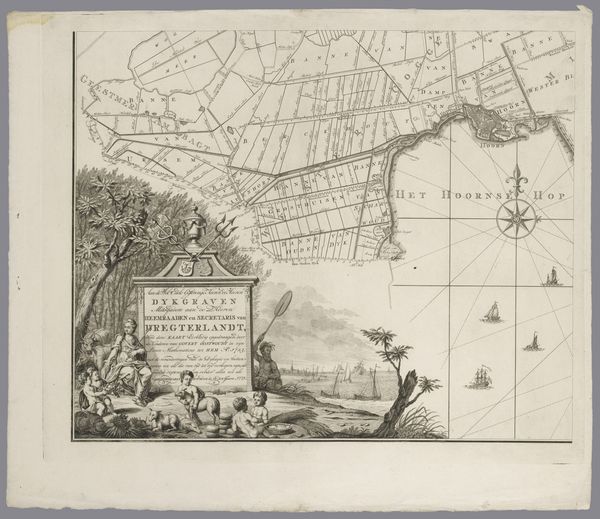
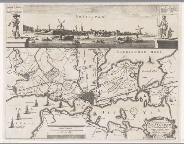
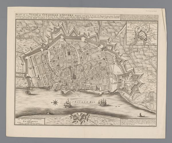
print, engraving
#
dutch-golden-age
# print
#
landscape
#
cityscape
#
engraving
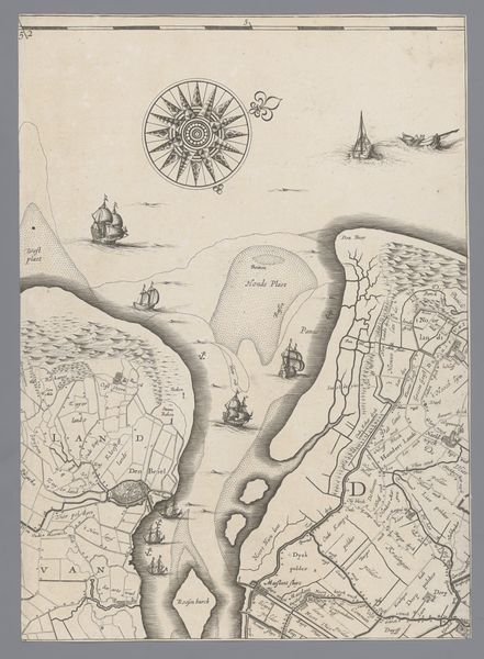
Dimensions: height 406 mm, width 301 mm
Copyright: Rijks Museum: Open Domain
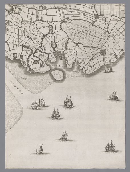
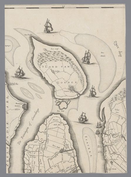
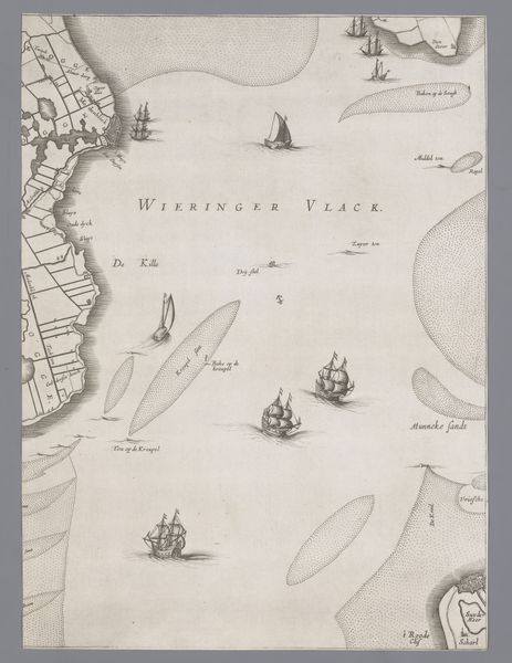
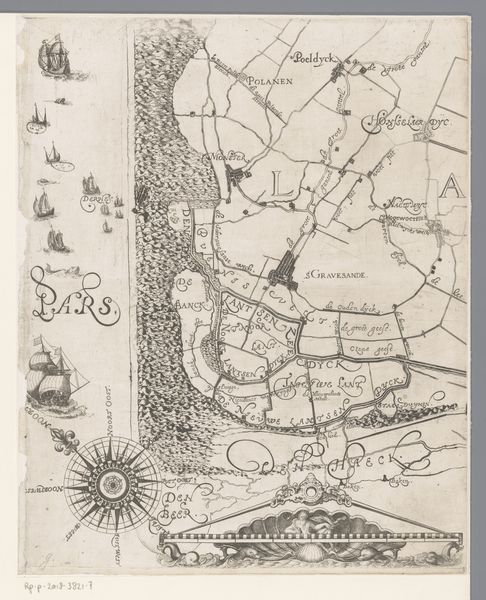
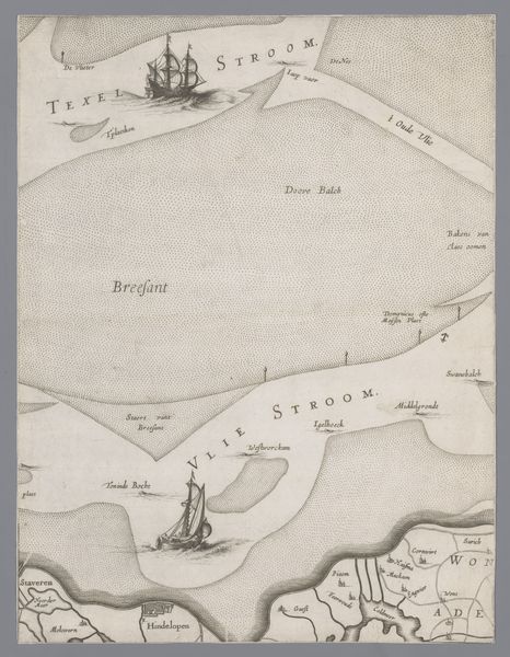
Editor: This is "Kaart van het Graafschap Holland en Utrecht (plaat 24)", a 1639 engraving by Jacob Aertsz. Colom, held at the Rijksmuseum. It’s so detailed! It seems like it would have taken immense labor to produce. What’s your take on this work? Curator: For me, the fascinating aspect lies in the material processes and the social implications embedded in mapmaking during the Dutch Golden Age. Consider the labor: the engraver meticulously carving the copperplate, the paper-making process itself. These weren’t neutral activities; they reflected trade routes, political power, and resource extraction. Editor: So, beyond just being a navigational tool, it’s saying something about Dutch society? Curator: Precisely! Look closely. Notice the rendering of land versus the sea; what do these proportions suggest about their relationship to one another? The ships aren't just decorative, they signify dominance. What goods do you imagine that these vessels were carrying? What impact might their transport of goods and people had upon other parts of the globe? Editor: It's not just about geographical accuracy, then; it's about power. The map itself is a commodity, reflecting Dutch mercantile interests… and exploiting material for economic advantage. It also flattens the world, quite literally, into a set of resources. Curator: Exactly! It prompts us to reconsider our understanding of “landscape.” Instead of a picturesque scene, this engraving reveals an entire mode of production and consumption. How does this complicate our view of seemingly simple images? Editor: It’s making me rethink how I see maps and landscapes in general – not just as pretty pictures, but as products of labor and indicators of societal values. It pulls away this idyllic façade of an image. Curator: Agreed! By examining the material reality behind art, we challenge assumptions about art’s purpose, revealing it to be far more enmeshed with economic and political realities.
Comments
No comments
Be the first to comment and join the conversation on the ultimate creative platform.
More like this