print, engraving
#
dutch-golden-age
# print
#
landscape
#
geometric
#
cityscape
#
engraving
Dimensions: height 406 mm, width 296 mm
Copyright: Rijks Museum: Open Domain
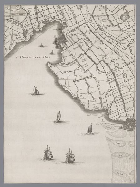
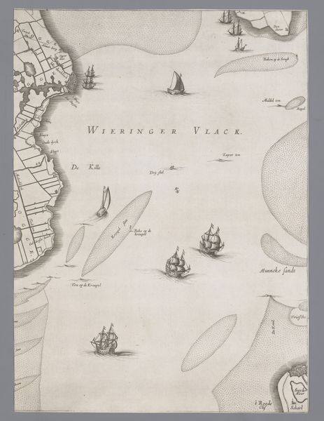
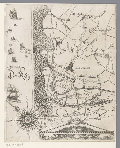
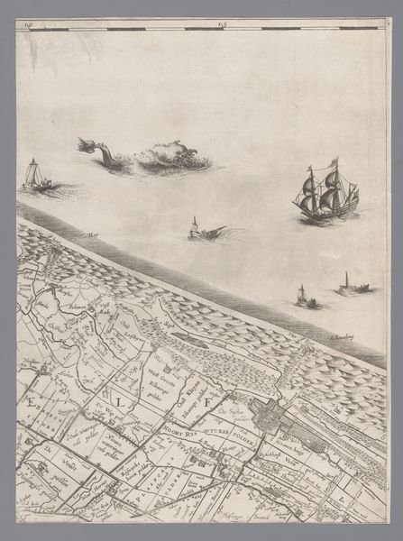
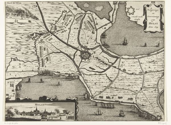
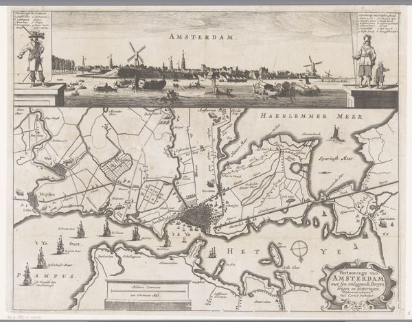
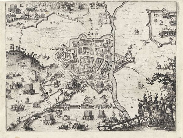
Curator: This engraving, titled "Kaart van het Graafschap Holland en Utrecht," was created in 1639 by Jacob Aertsz. Colom. Editor: My first thought is of commerce and exploration. The rendering has such precision, even romance, but its formality almost negates a purely emotional connection. Curator: Indeed. These maps weren't merely aesthetic objects; they were vital tools for trade, navigation, and asserting territorial control in the burgeoning Dutch Golden Age. We see the detailed rendering of the land, divided plots, and the waterways with its vessels. This symbolized a nation building its empire. Editor: The composition draws the eye along those delicate, etched lines. The contrast between the intricate details of the land and the openness of the water, punctuated by the ships, speaks of contained space opening out towards larger potentials. The linear abstraction almost preempts modern cartography. Curator: Precisely. Notice how the cartographer delineates political boundaries through sharp, clear lines. This reveals a desire to categorize and contain the known world. Cartography was tied to state power and even the early notions of creating modern-day concepts of nationhood. Editor: Also, note how each ship has unique rigging and hull design, an expression of individual artisanship amid the overall exactitude. The artist shows the personality and complexity inherent in these objects while subsuming them into the broader scope. There’s something quite wonderful in that tension. Curator: These details highlight the maritime prowess the Dutch held, key to economic and cultural exchanges worldwide. Moreover, the map is oriented eastward, prioritizing trade routes towards the East Indies and mirroring Holland’s colonial ambitions. Editor: Looking closely at those geometries, the implied narratives and subtle design details, this really encapsulates a precise yet poetic impression of an important area. Curator: Understanding its context unlocks how early modern cartography reflects national identity, overseas ambitions, and a changing world being constructed by Holland. Editor: A fascinating fusion of precision and implicit social ambition – seeing it with your insights, the aesthetic takes on deeper resonances.
Comments
No comments
Be the first to comment and join the conversation on the ultimate creative platform.
More like this