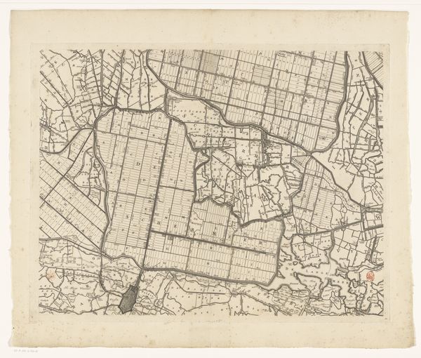
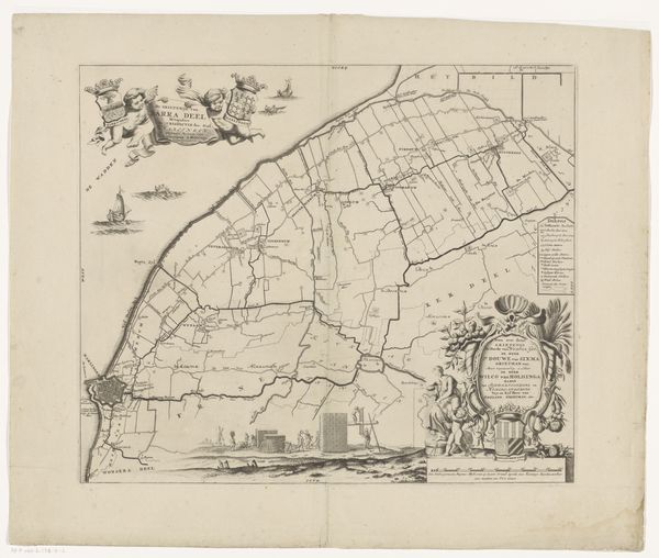
Kaart van het Hoogheemraadschap van Rijnland (tiende deel) 1647 - 1687
0:00
0:00
cornelisidanckerts
Rijksmuseum
print, ink, engraving
#
dutch-golden-age
# print
#
pen sketch
#
old engraving style
#
landscape
#
ink
#
geometric
#
cityscape
#
engraving
Dimensions: height 452 mm, width 566 mm
Copyright: Rijks Museum: Open Domain
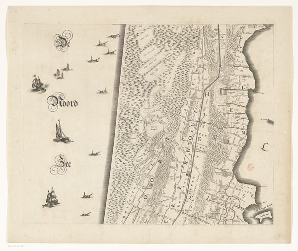
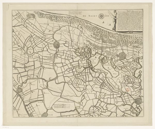
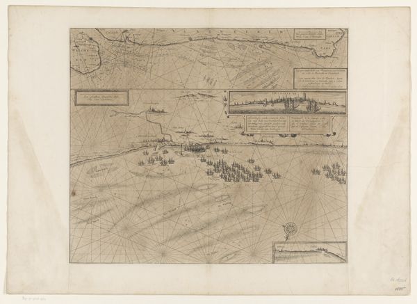
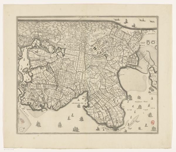
This map of Rijnland was made by Cornelis Danckerts around the mid-17th century. It is an engraving, meaning that the image was incised into a metal plate, inked, and then printed onto paper. The fine lines and intricate details are a testament to the engraver's skill, showing the landscape, waterways, and settlements of the region. The quality of the engraving would depend on the quality of the tools, from burins and scrapers to burnishers and fine stones. Map-making at this time was deeply tied to commerce and governance, with the Dutch Republic being a major maritime power. Such an artifact as this was essential for navigation, land management, and asserting control over territory. The labor involved in creating the map - from surveying the land to the physical act of engraving – speaks to the ambition of the Dutch to chart and master their world. This wasn't just art; it was a tool of power.
Comments
No comments
Be the first to comment and join the conversation on the ultimate creative platform.
More like this