drawing, print, photography, watercolor
#
drawing
# print
#
landscape
#
river
#
photography
#
watercolor
#
coloured pencil
#
watercolor
Dimensions: height 164 mm, width 232 mm
Copyright: Rijks Museum: Open Domain
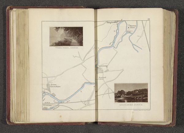
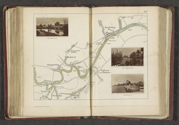
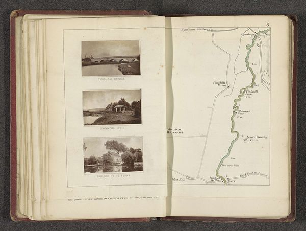
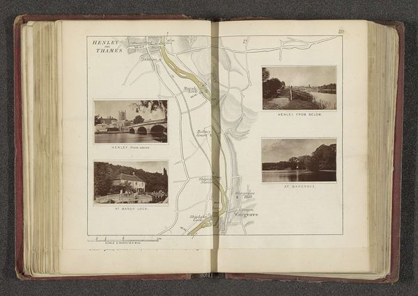
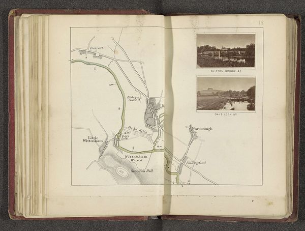
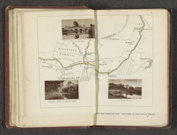
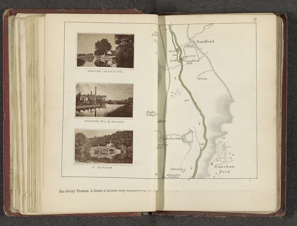
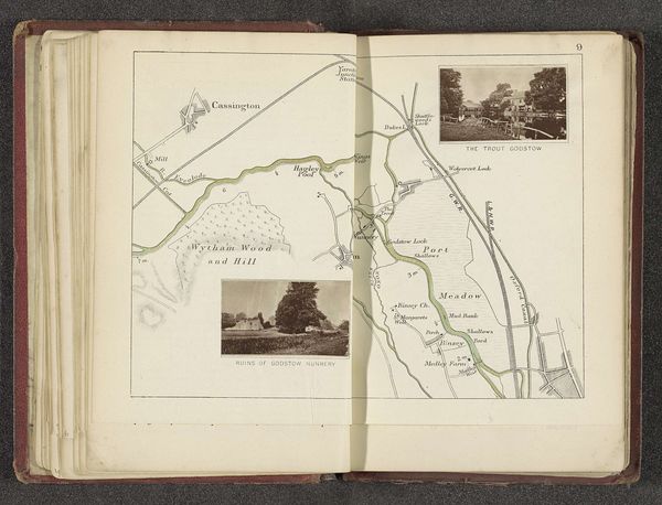
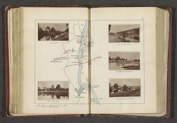
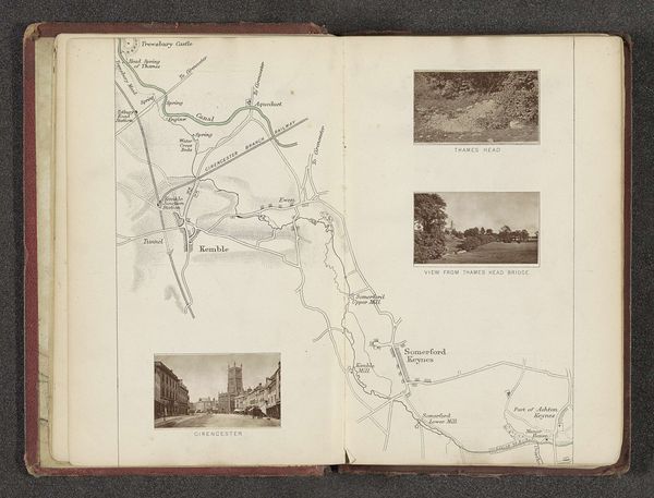
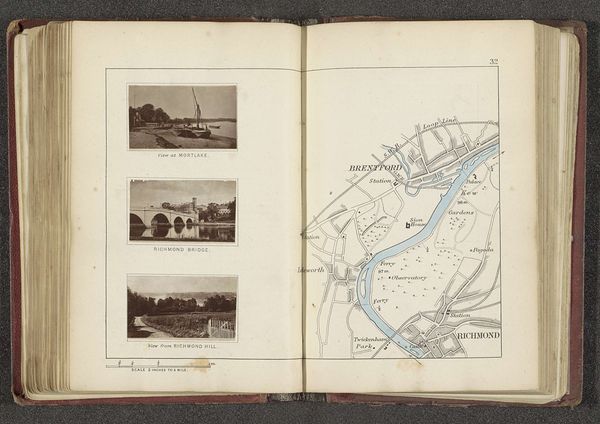
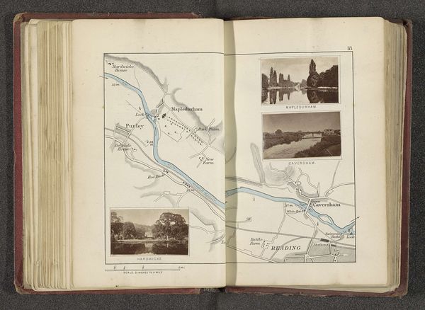
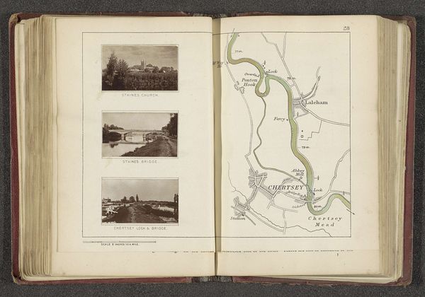
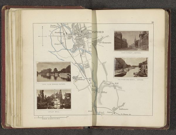
This is a page from a book created by Henry W. Taunt, featuring three images of places along the River Thames, and a map. It’s a hybrid object, combining the mechanical reproduction of photography with the drawn lines of cartography. The photographic prints, likely albumen prints, were created through a meticulous process, where light-sensitive chemicals are applied to paper, exposed to negatives, and then carefully developed. This craft contrasts with the map’s drawn lines, which also required skill and precision. These two sides offer different ways of seeing and knowing space: one based on lived experience, the other, a bird’s eye view. The book format itself suggests accessibility, but these images also speak to the rise of tourism and leisure among the middle class during the period, and the industry of photography that served them. Taunt, as a commercial photographer, played a part in shaping how people saw and experienced the Thames.
Comments
No comments
Be the first to comment and join the conversation on the ultimate creative platform.
More like this