Kaart met drie afbeeldingen van plaatsen langs de Theems in de buurt van Richmond upon Thames before 1879
0:00
0:00
print, etching, paper, photography, albumen-print
#
lake
# print
#
etching
#
landscape
#
river
#
paper
#
photography
#
coloured pencil
#
sketchbook drawing
#
cityscape
#
watercolor
#
albumen-print
Dimensions: height 182 mm, width 230 mm
Copyright: Rijks Museum: Open Domain
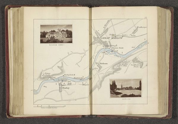
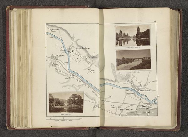
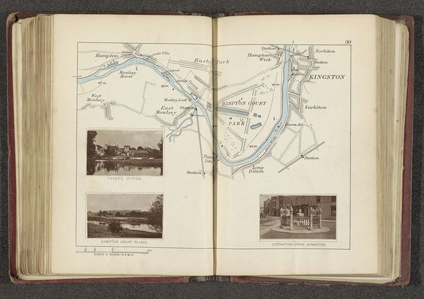
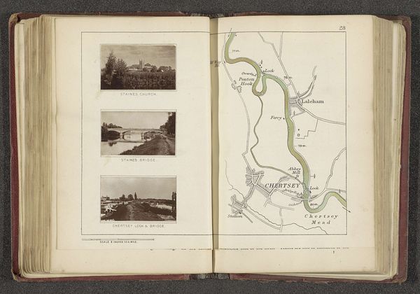
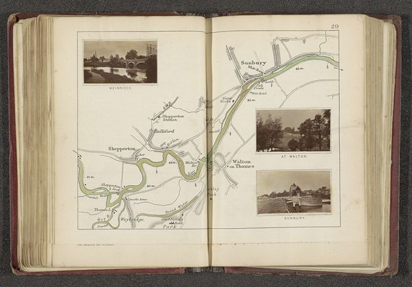
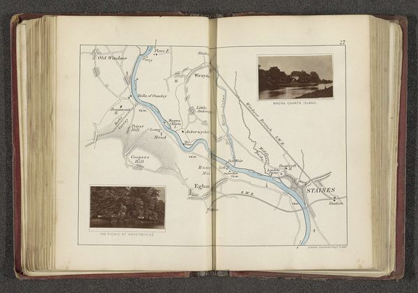
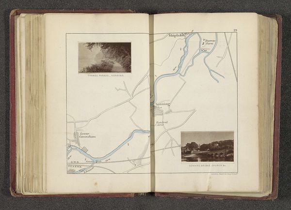
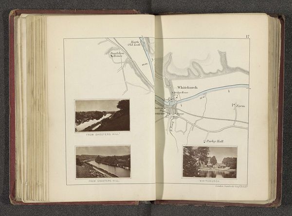
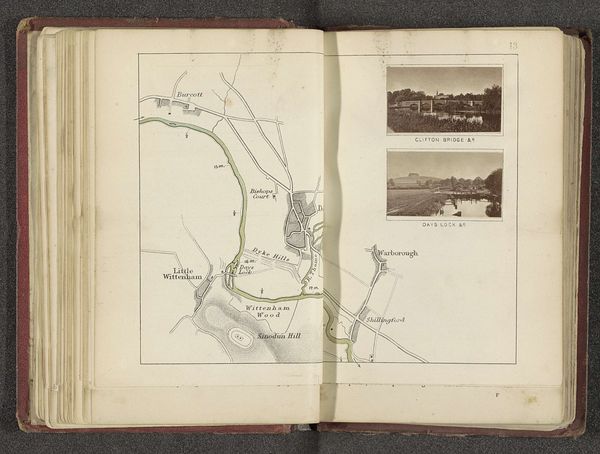
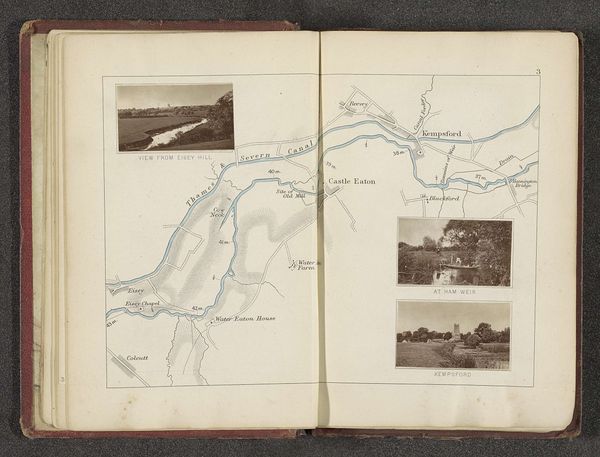
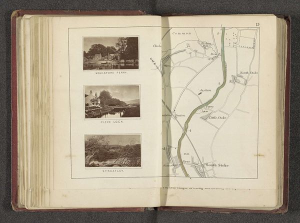
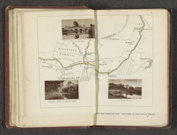
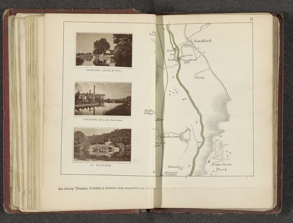
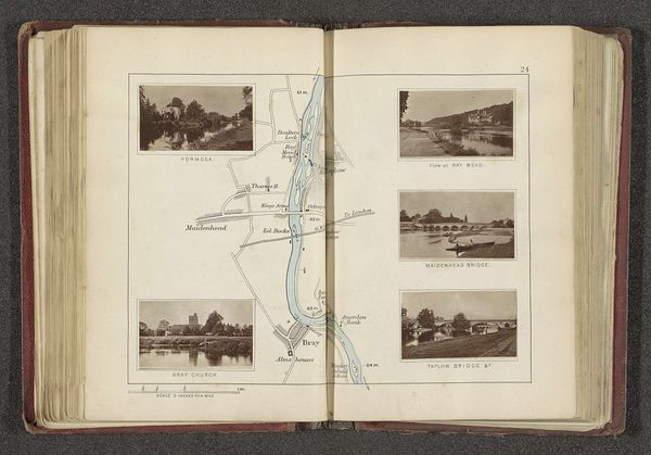
This illustrated map of the Thames near Richmond upon Thames was made by Henry W. Taunt, likely around the turn of the 20th century, using photographic and printing processes. The map itself would have required a painstaking method of engraving to create the printing plate, a skilled craft that demanded precision. The small photographs, possibly albumen prints, capture the area's picturesque qualities, framing it as a desirable destination. Notice the contrast between the detailed cartography and the soft focus of the photographs. Each element speaks to a different kind of labor: the precision of the mapmaker, the eye of the photographer, and the hands of the printer. The combination of these techniques suggests a desire to present a comprehensive and appealing image of the Thames region, indicative of the growing tourism industry and the commodification of leisure time. Considering the intricate processes involved in its creation, this map underscores the value of both skilled labor and the natural landscape it represents.
Comments
No comments
Be the first to comment and join the conversation on the ultimate creative platform.
More like this