drawing, print, etching, engraving
#
drawing
# print
#
etching
#
landscape
#
geometric
#
engraving
Dimensions: height 205 mm, width 277 mm
Copyright: Rijks Museum: Open Domain
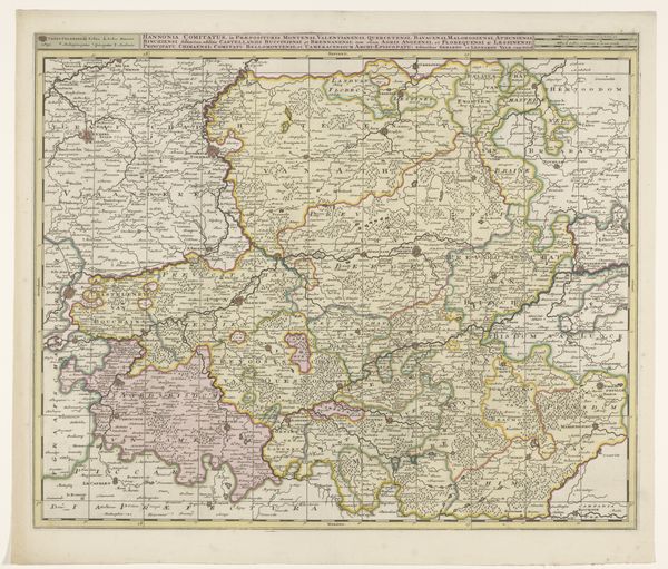
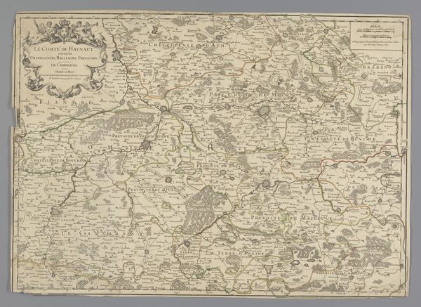
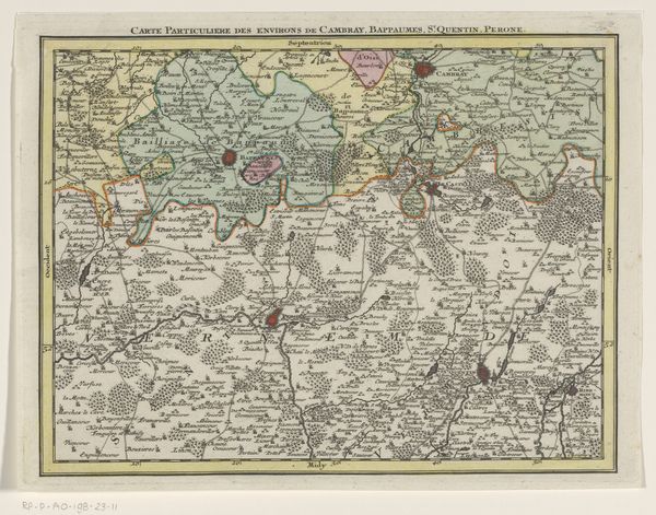
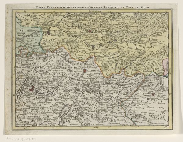
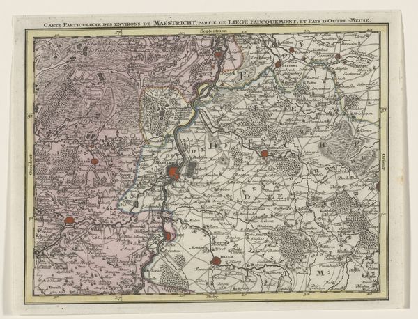
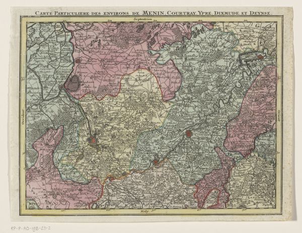
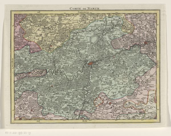
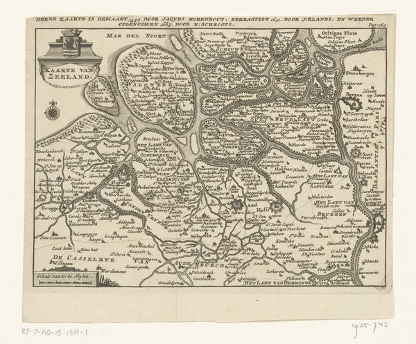
Curator: How fascinating to begin with a cartographic image. Editor: Absolutely! This is "Deel van een kaart van de Oostenrijkse Nederlanden," dating roughly from 1737 to 1757, created by Tobias Conrad Lotter, using etching and engraving. It's visually quite dense, filled with names and symbols. What significance might this map hold beyond just geographical representation? Curator: Well, maps are never neutral. This map represents a very specific political and cultural vision of the Austrian Netherlands. The act of mapping itself is an assertion of power, defining territories and boundaries. Consider what this map includes and, crucially, what it omits. What power structures does this serve, and whose perspectives are being centered? Editor: I never considered a map to be subjective! It shows rivers, cities, and borders...aren't those facts? Curator: They are presented as facts, but even the choice of what to depict, the level of detail, and the language used reflect a particular agenda. Who commissioned this map? What was their aim in defining this region so precisely? It was created during a time of intense territorial disputes, wasn’t it? Maps such as these weren't just guides; they were tools used to negotiate identity, property rights, and military power. Note that they frequently do not indicate who actually lived on and worked that land, do they? Editor: That’s… eye-opening. So, reading it critically means looking beyond its surface, recognizing the historical context, and acknowledging that it's a product of its time? Curator: Precisely! Think about how representations of land contribute to narratives of belonging and exclusion. It prompts us to reflect on how cartography continues to shape our understanding of space, power, and identity even today. It asks: Who creates these boundaries and for whom? Editor: This map, now that you explain it, provides insights into cultural identity, colonial assertion, and land ownership, not solely geography. This opens a way to deconstruct other images too, and not only passively admire the composition. Thank you!
Comments
No comments
Be the first to comment and join the conversation on the ultimate creative platform.
More like this