print, etching, engraving
#
aged paper
#
toned paper
#
baroque
# print
#
etching
#
landscape
#
etching
#
engraving
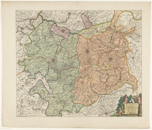
Dimensions: height 204 mm, width 271 mm
Copyright: Rijks Museum: Open Domain
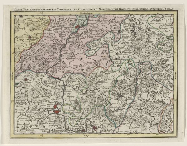
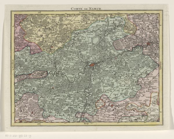
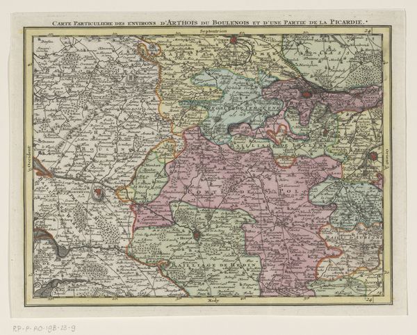
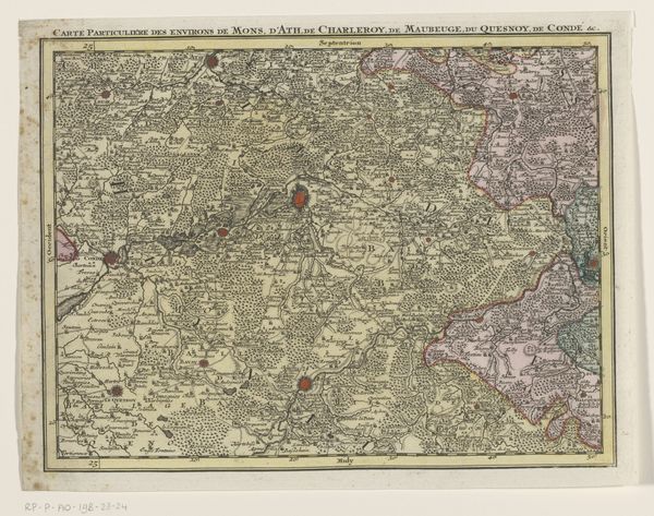
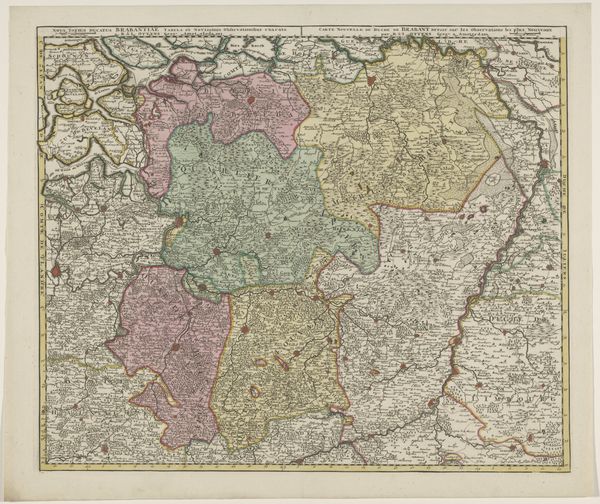
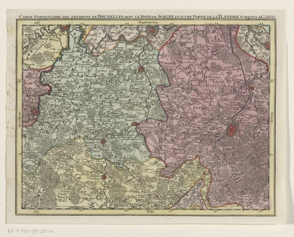
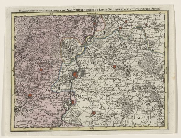
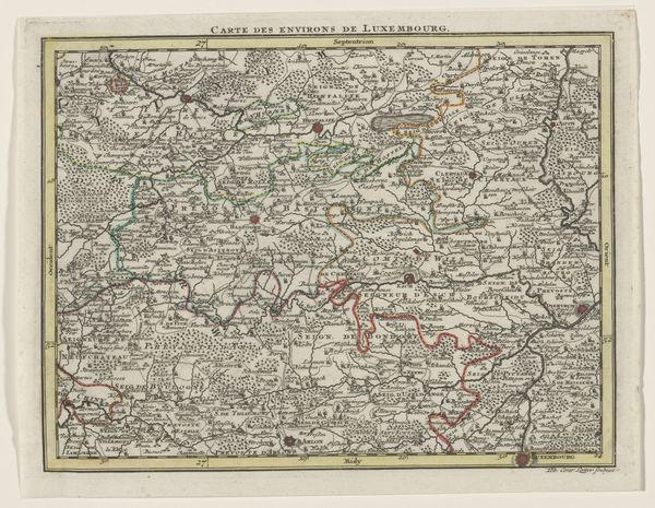
Tobias Conrad Lotter created this section of a map of the Austrian Netherlands. The map presents a network of lines, shapes, and colours, offering not just a geographical overview but a structured view of 18th-century spatial understanding. Note how Lotter organizes space through a combination of precise lines and contrasting color fields. The structured composition, using these varying colors, defines territories and routes, reflecting an era of cartographic precision and burgeoning imperial ambitions. The varying textures within the color blocks denote topographical features, adding layers of meaning. This structured approach to mapping mirrors the enlightenment’s broader project of categorizing and systematizing knowledge. Notice the formal clarity in Lotter's work, where cartography becomes a visual language, encoding power, knowledge, and control. Maps like these were instrumental in shaping perceptions and asserting dominance over geographical space. Ultimately, this section of a map highlights the intersection of art, science, and power in the age of exploration and enlightenment.
Comments
No comments
Be the first to comment and join the conversation on the ultimate creative platform.
More like this