1692
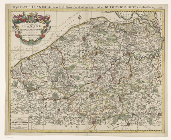
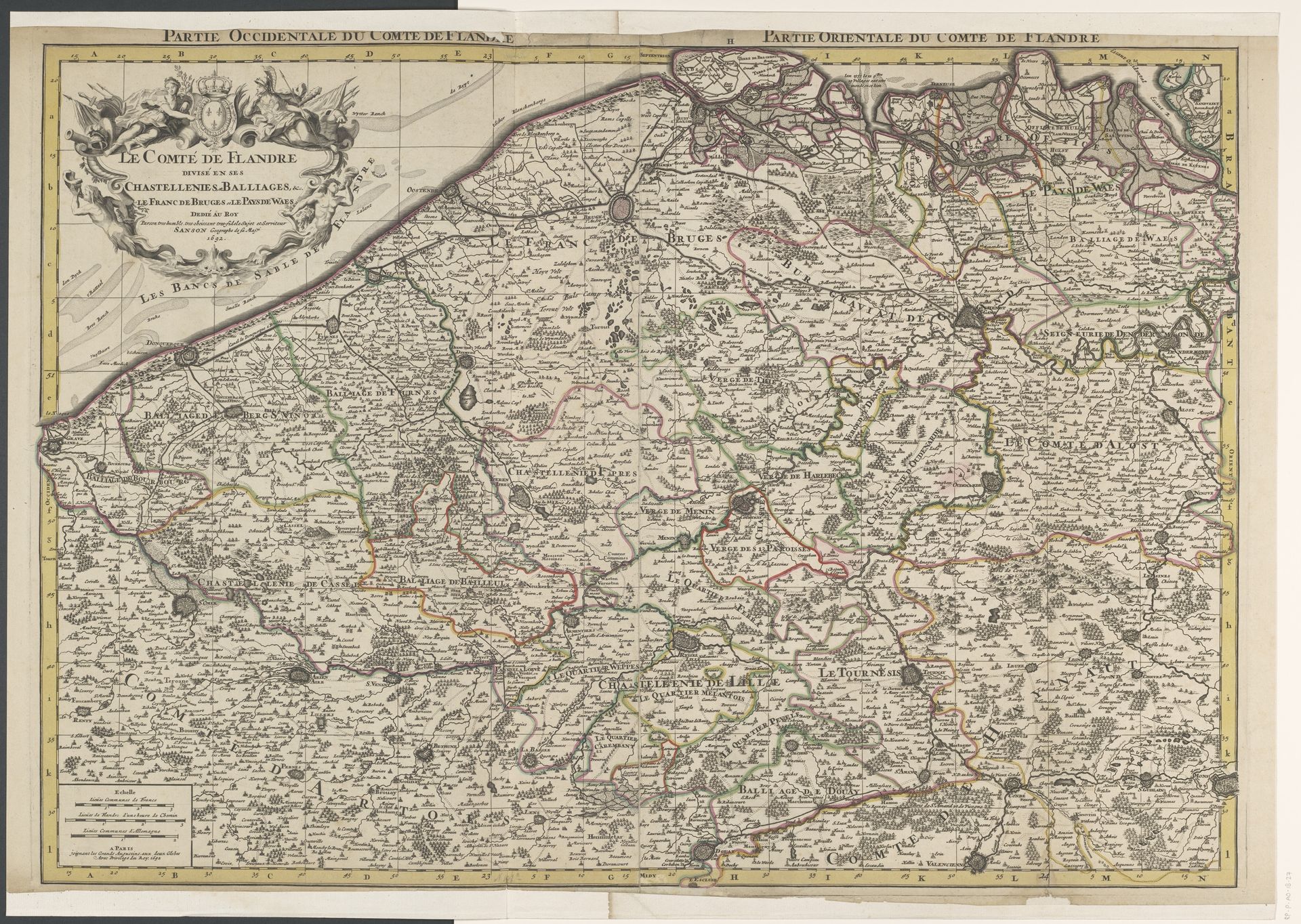
Kaart van het graafschap Vlaanderen
Anonymous
@anonymousLocation
RijksmuseumListen to curator's interpretation
Curatorial notes
Curator: This piece, "Kaart van het graafschap Vlaanderen", or "Map of the County of Flanders," is an engraving dating back to 1692. What catches your eye first? Editor: Chaos, but in a beautiful way. It's like the land itself is throwing a baroque dance party, all swirling lines and flourishes. A celebration of place. Curator: The detail is extraordinary, isn't it? Notice the meticulously rendered towns, the winding rivers. It adheres to a specific type of semiotic order, typical of baroque cartography, in that it uses ornamentation as a mode of topographical signifier. Editor: All those tiny settlements—each a point of connection and story. It reminds me of trying to piece together memories; each town is a little moment in the past, connected by roads like synapses. Curator: Consider how this map would have been viewed in its time. It's not just geography, it's power, control. The act of mapping itself is a declaration. There's a political element intertwined. Editor: True. Maps become power. You start seeing everything with this kind of...ownership gaze, knowing where everything *is*. I mean, looking at this map, with that glorious cartouche up there, it's impossible to forget that Flanders was something to possess back then. Who was this "Anonymous" person after all? They are very keen on telling you every place they can claim jurisdiction! Curator: Absolutely. I appreciate how you zoomed into that aspect so easily! Editor: But also it captures how immense even small plots of land must've looked when viewed from ground-level perspective, with limited knowledge. And, now it triggers a sense of time itself -- as layers accumulating, history stacking one town atop another. That gives me the shivers! Curator: Well, looking closely, the map definitely manages to conjure very strong imagery—historical echoes! What a stunning visual. Thank you for this vibrant discussion. Editor: Yes! The beauty within meticulous organization – what more can we ask from art!