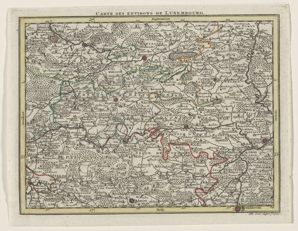
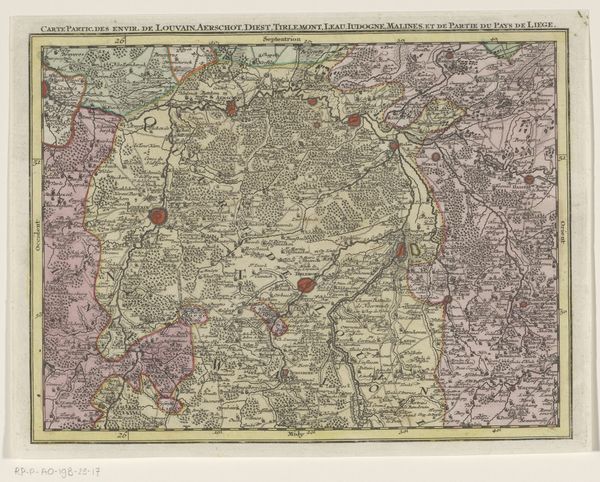
graphic-art, print, etching, engraving
#
graphic-art
#
baroque
# print
#
etching
#
etching
#
history-painting
#
engraving
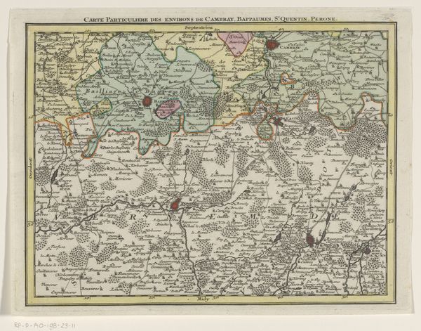
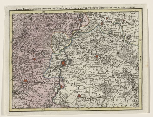
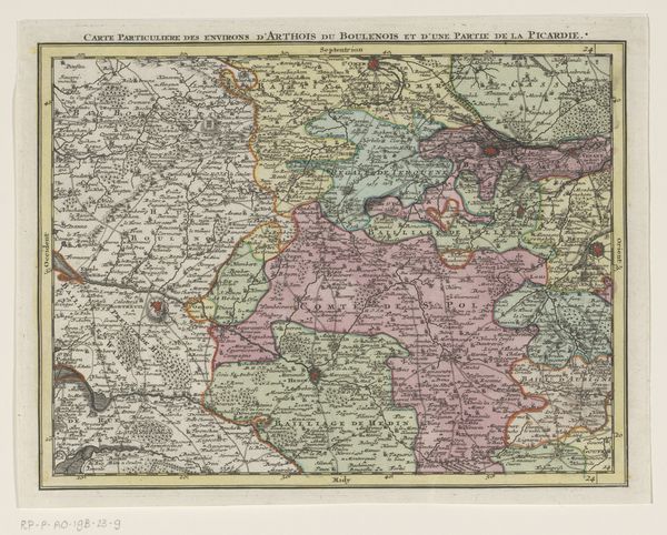
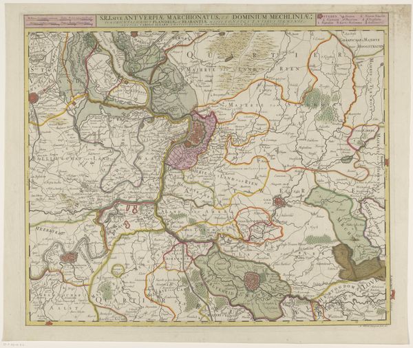
Dimensions: height 205 mm, width 272 mm
Copyright: Rijks Museum: Open Domain
Curator: Let’s dive into this piece, "Deel van een kaart van de Oostenrijkse Nederlanden," a map section from the mid-18th century, etched and engraved by Tobias Conrad Lotter. Editor: It's so detailed! The sheer density of place names is striking. I’m immediately drawn to the almost frantic energy of the lines and lettering. What strikes you when you look at it? Curator: I’m compelled by its representation of power dynamics. Maps, particularly during this era, weren't just geographical tools. They were instruments of control. This particular map depicts part of what was then the Austrian Netherlands. Consider how visualizing territory translates into asserting authority and claiming ownership, particularly by the Austrian Habsburgs during a period of shifting alliances and imperial ambitions. Editor: So, the map is a form of propaganda? Curator: In a way, yes. Think about whose perspective is centered here. The act of meticulously mapping a territory implicitly asserts dominance over it. The map becomes a visual declaration of “We see this, therefore we control it.” How might the people living *in* the territories depicted have viewed such representations? Were they complicit, resistant, or simply absent from the narrative? The lack of local voices in its creation is telling, isn't it? Editor: Absolutely. It makes me think about how even seemingly objective documents like maps are laden with political meaning. The history of cartography is deeply intertwined with colonialism and oppression. Curator: Precisely. The aesthetics, the artistry – all serve a purpose beyond mere documentation. The Baroque style, known for its ornamentation, becomes another layer of asserting control and projecting grandeur. Editor: I'll definitely see maps differently from now on! Curator: It is about understanding whose stories are told, and whose are erased, within seemingly neutral representations. That awareness is crucial in understanding our world today.
Comments
No comments
Be the first to comment and join the conversation on the ultimate creative platform.
More like this