print, etching, engraving
baroque
etching
landscape
etching
engraving
Dimensions: height 204 mm, width 270 mm
Copyright: Rijks Museum: Open Domain
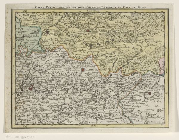
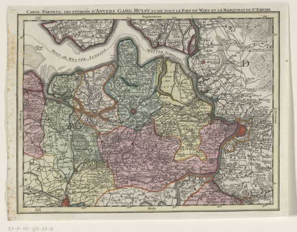
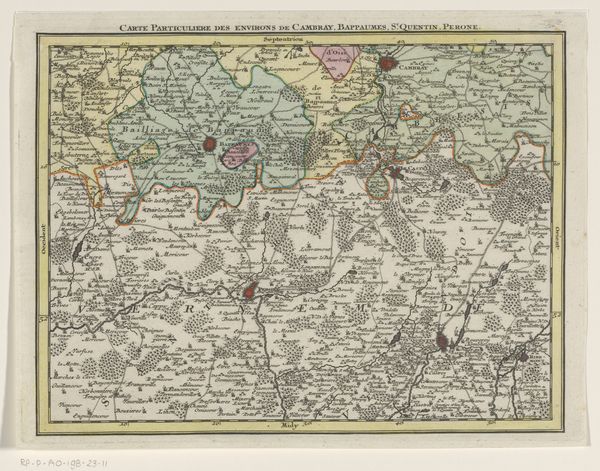
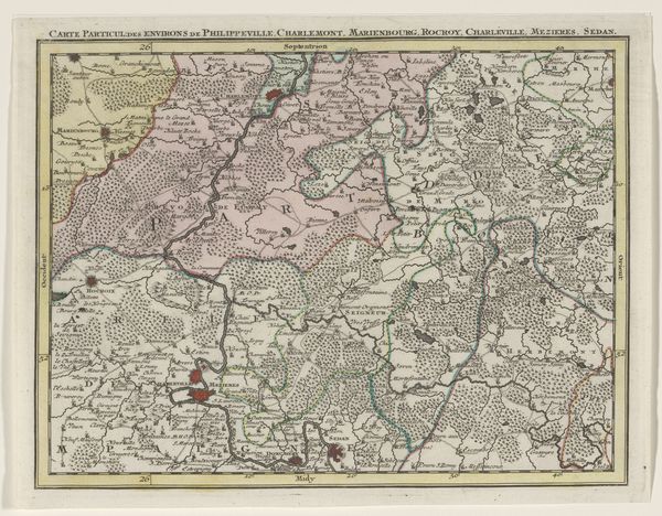
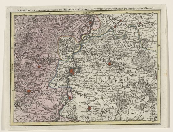
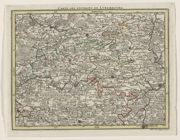
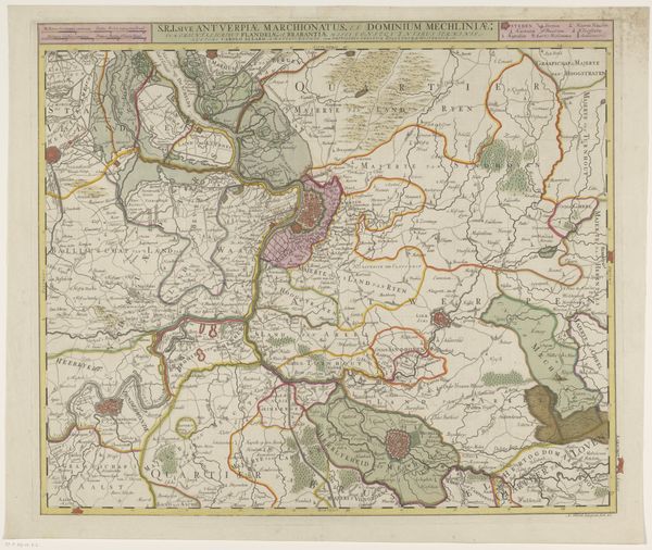
Curator: Here we have “Part of a Map of the Austrian Netherlands” created sometime between 1737 and 1757 by Tobias Conrad Lotter. It's an etching and engraving on paper. Editor: My first thought is how ornate the presentation of information is. It has a cartouche feel. It almost looks as though it’s illustrating an adventure rather than simple topography. Curator: That's interesting. Maps in this era were so much more than navigational tools. They spoke to power, ownership, and, as you say, adventure. Look at the flourishes—the depiction of forests, towns, even small topographical details—they’re all imbued with cultural meaning. Editor: Indeed! And the color. Is it hand-painted, do you think? The pale washes seem deliberately applied, highlighting boundaries, giving each territory a subtle character. This emphasizes division and distinction. Curator: Exactly. Color-coding wasn’t merely aesthetic. It communicated political allegiance, marking the boundaries between realms. It also provided an appealing image to further flatter whoever it was produced for. Note how settlement types are suggested via specific symbology, subtly hinting at a possible historical narrative about territorial influence and trade routes. Editor: The line work is incredible; so fine, almost delicate in its execution. Look at the level of detail, representing geographical reality but still allowing the artist to make it visually pleasing. A really interesting balance of information and aesthetics! Curator: The printing process and the etching technique were instrumental in disseminating knowledge. Maps such as this allowed for the creation of shared cultural understanding of the world, for political, economic and colonial ambition. These cartographic projections inevitably reflect the political views of their creators and patrons. Editor: A powerful reminder that even maps are texts capable of ideological construction. I found its fusion of geographical representation and almost storybook character deeply compelling. Curator: As do I. It’s fascinating how such seemingly objective artifacts hold such loaded and evocative visual cues that shape cultural perception.
Comments
No comments
Be the first to comment and join the conversation on the ultimate creative platform.